Hyderabad, India
This year EOMAP has topped the category “Bathymetry” at the Geospatial World Innovation Awards 2017. The ceremony took place in Hyderabad, India. Together with their partners SevenCs and ChartWorld, EOMAP received the award for the derivation of electronical nautical charts (ENCs) from optical satellite data and their easy pratical implementation.
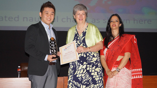
Alvin Lin from SevenCs gratefully accepted the award at the Geospatial World Forum 2017 Hyderabad. The full list of awarded companies and institutions is accessible here.
Read more on the Geospatial World Forum: https://geospatialworldforum.org/

Latest EOMAP News


Related Posts

02 / 2026
WATCOR‑X Bathymetry Software for Navies and Hydrographic Offices

01 / 2026
Bathymetry in the Gulf of Mexico

01 / 2026
Pro-active hydropower management in winter

12 / 2025
A short recap of 2025

12 / 2025
From Climate to Nature and Biodiversity: Insights on COP30

11 / 2025
Italian Webinar: Water Quality Monitoring from Space

11 / 2025
Projektstart SEAGUARD

10 / 2025
SDB Update #9 – Validation and Accuracy

10 / 2025
SDB Update #8 – Multisource Bathymetry

08 / 2025
