SDB and seafloor data go public
Ashmore and Cartier Island Marine Park maps of Satellite-Derived Bathymetry (SDB) and seafloor habitats, are now publicly available online.
Together with our Australian team, analysts at EOMAP Headquarter have provided information on shallow water bathymetry down to ~30m water depth (LAT). The teams used Maxar Technologies WorldView-3 satellite imagery (2m pixel size) and applied our physics-based sunlight inversion method. Reflectance (seafloor colour) and bathymetry were then used to run an object-based classification, where objects of similar spectral characteristics, shape and texture are grouped into different classes of seafloor coverage. We have classified habitats using the SEAMAP Australia and the National Intertidal Subtidal Benthic (NISB) classification schemes.
These datasets can now be downloaded from the IMAS catalogue and viewed on the SEAMAP Australia platform (included in the National Benthic Habitat Map and Western Australia layers). The bathymetry data will also be on the AusSeabed portal shortly! Future updates will include geomorphic layers and the final report due in the coming months.
We would like to thank Parks Australia for the opportunity to map these beautiful reefs. This Marine Parks Grants project received funding from the Australian Government. Also, a big thank you to CSIRO for providing field data for the project.
Please get in touch with Emily Twiggs from our Australian team, if you would like to know more about this project or consider satellite-derived mapping your own areas of interest.
Latest EOMAP News
Reuters bases Mekong article on EOMAP data
Cyanobacteria on the rise – algal blooms in bathing waters
SDB Update #7 – Topobathy of the Red Sea
SDB Update #6 – Satellite-based Topobathy Models
SDB Update #5 – Storymap on Satellite-Derived Bathymetry
SDB Update #4 – Northern Canada’s shallow waters mapped in 100 m
Related Posts
08 / 2025
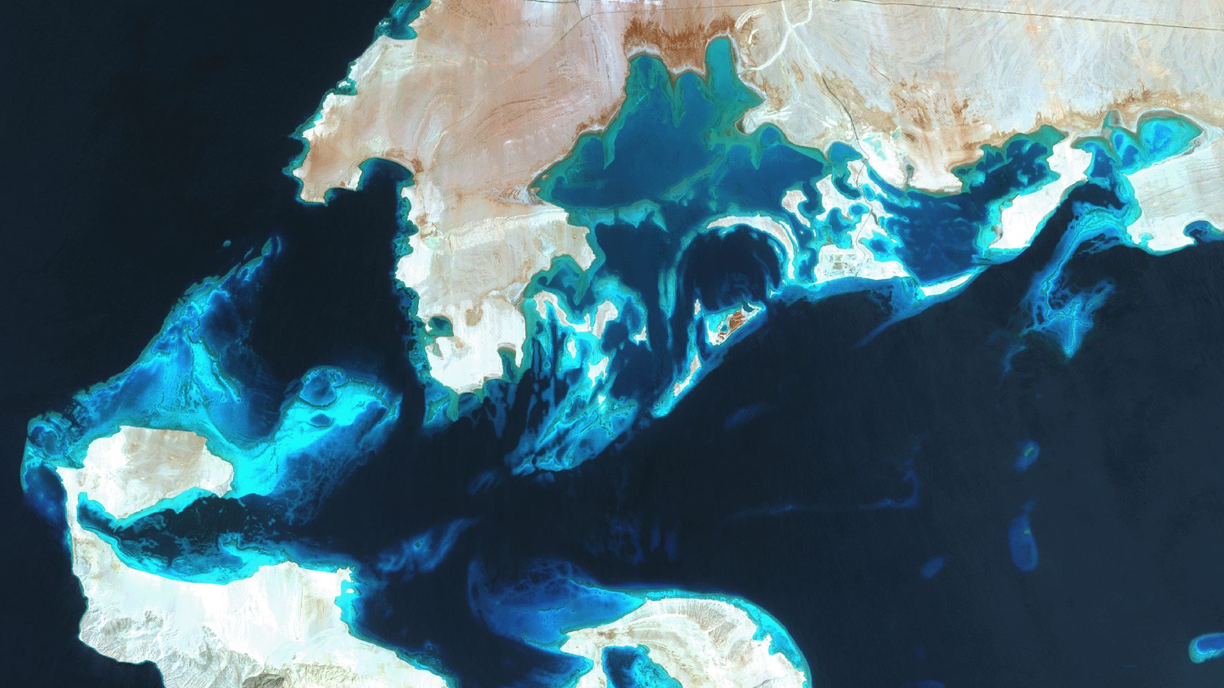
SDB Update #7 – Topobathy of the Red Sea
07 / 2025
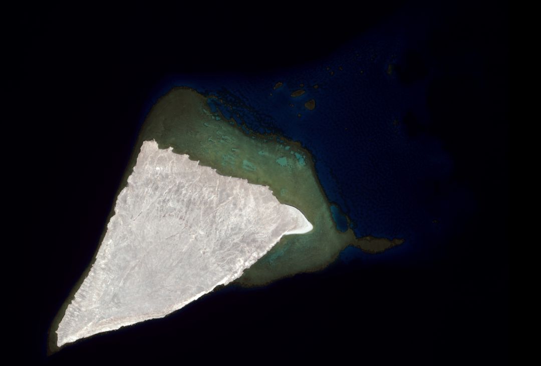
SDB Update #6 – Satellite-based Topobathy Models
07 / 2025
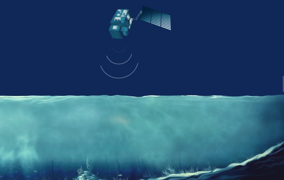
SDB Update #5 – Storymap on Satellite-Derived Bathymetry
06 / 2025
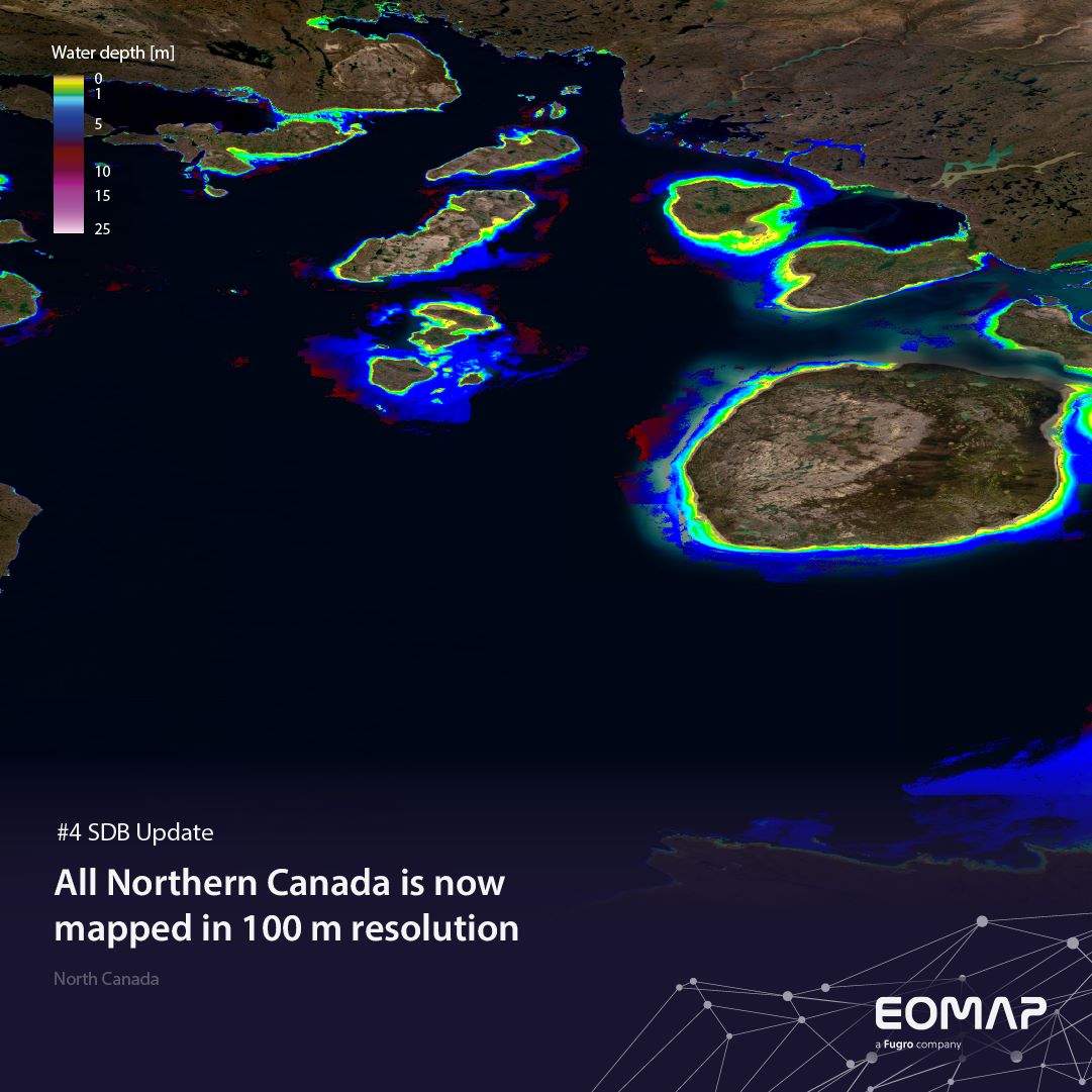
SDB Update #4 – Northern Canada’s shallow waters mapped in 100 m
06 / 2025
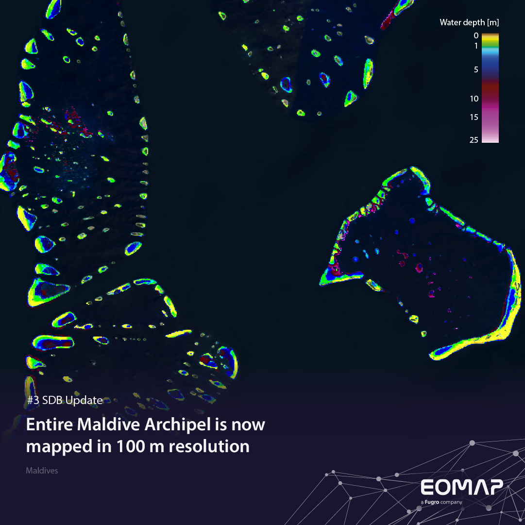
SDB Update #3 – The Maldives’ shallow waters mapped in 100 m
05 / 2025
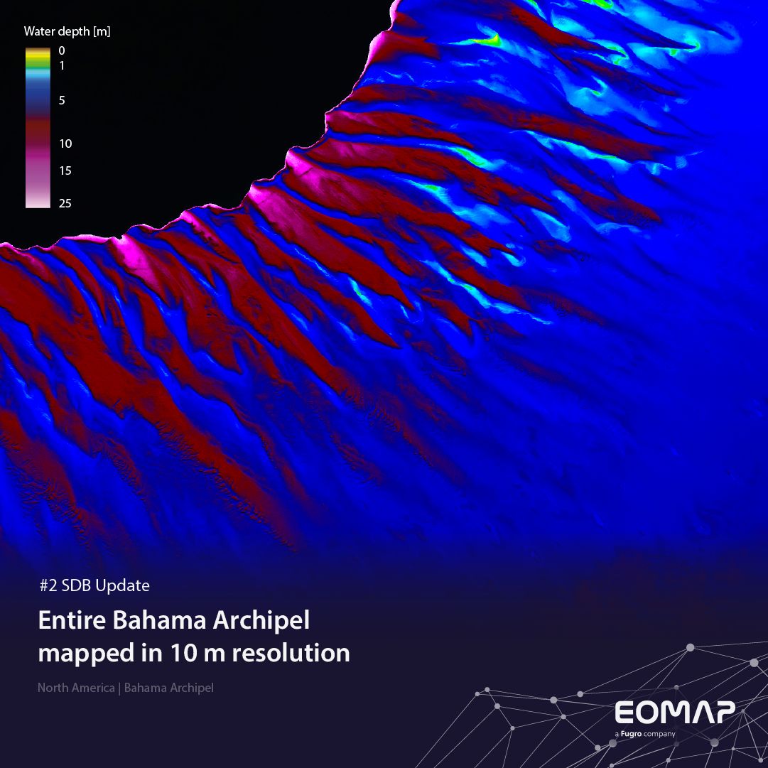
SDB update #2 – The Bahamas mapped in 10 m
05 / 2025
SDB update #1 on Australia: All shallow waters mapped
12 / 2024
COASTS – Projekt für widerstandsfähigere Küsten-Ökosysteme gestartet
12 / 2024
COASTS project launched to enhance coastal resilience and blue carbon ecosystems
10 / 2024


