Satellite-based lake monitoring
The federal state of Baden-Württemberg in the South West of Germany is rich in sweetwater. It counts 28 lakes larger than 50 ha, 260 lakes with more than 10 ha and 1300 smaller lakes (> 1 ha).
For monitoring these inland waters – many of which are bathing waters, we have been cooperating with the environmental authority LUBW – Landesanstalt für Umwelt Baden-Württemberg since 2021. Its project SAMOSEE-BW has now made it to the top of the eGovernment competition – a contest of all German speaking countries: The satellite-based lake monitoring case was selected winner of the category “Sustainability by Digitalisation”.
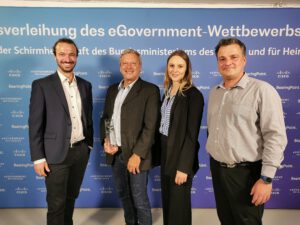
For their lake monitoring, the environmental agency is successfully complementing in situ data with satellite-based information from Landsat and Sentinel-2 sensors. In brief, the German federal agency LUBW …
📍 is integrating satellite-based remote sensing into routine monitoring
📍 of Lake Constance, 50 natural small lakes and 20 quarry ponds
📍 to keep an eye on key parameters, such as Chlorophyll a, turbidity, harmful algae blooms (HAB), Secchi Disk Depth (SDD), temperature,
📍 thus helping fulfil the regional and EU monitoring requirements for water protection
📍 and visualizing these data for easy public access.
💡 Authorities can benefit from satellite-based information by significant information gain and decision support, in particular for smaller water bodies, where there is no or little data available.
For more details, please:
Read the product description and watch the short video here.
Get in touch with the EOMAP Water Quality Team via Email
Stay up to date and follow EOMAP on Linked in
Latest EOMAP News
Reuters bases Mekong article on EOMAP data
Cyanobacteria on the rise – algal blooms in bathing waters
SDB Update #7 – Topobathy of the Red Sea
SDB Update #6 – Satellite-based Topobathy Models
SDB Update #5 – Storymap on Satellite-Derived Bathymetry
SDB Update #4 – Northern Canada’s shallow waters mapped in 100 m
Related Posts
08 / 2025
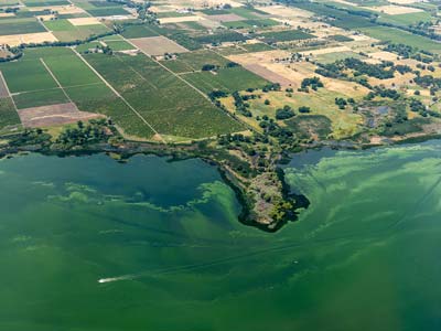
Cyanobacteria on the rise – algal blooms in bathing waters
05 / 2025
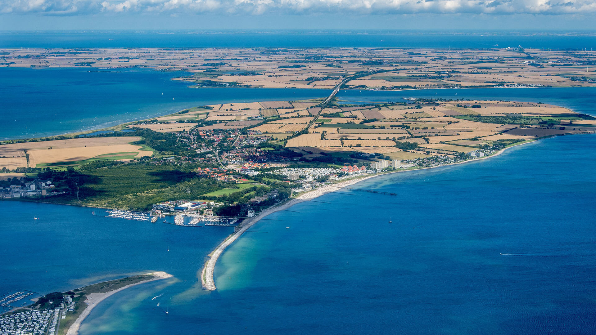
Planet contract: Supporting Germany’s water monitoring
03 / 2025
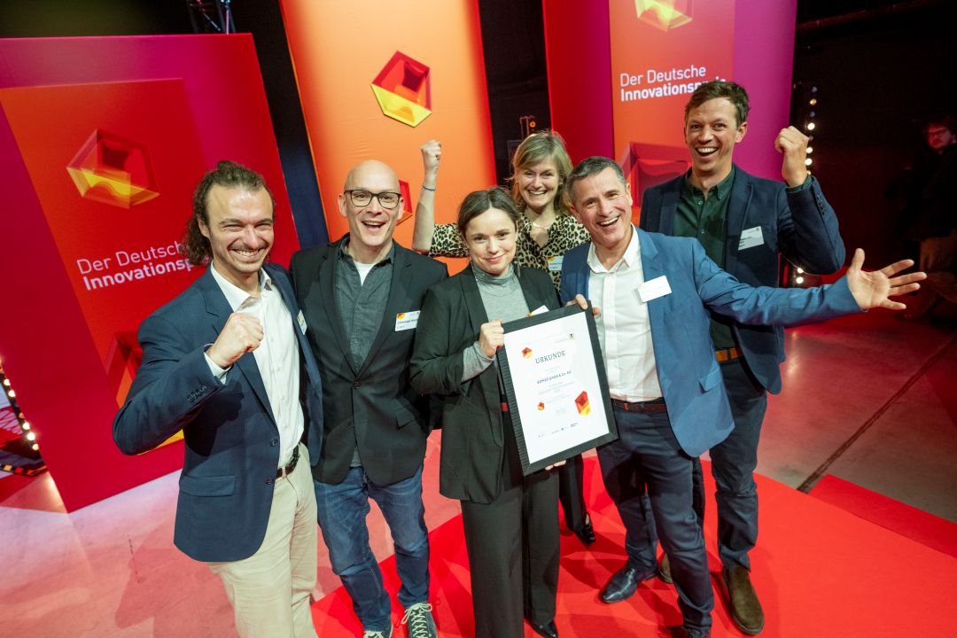
German Innovation Prize 2025 – EOMAP listed among top 3
03 / 2025
Deutscher Innovationspreis 2025 – EOMAP unter den top 3
01 / 2025
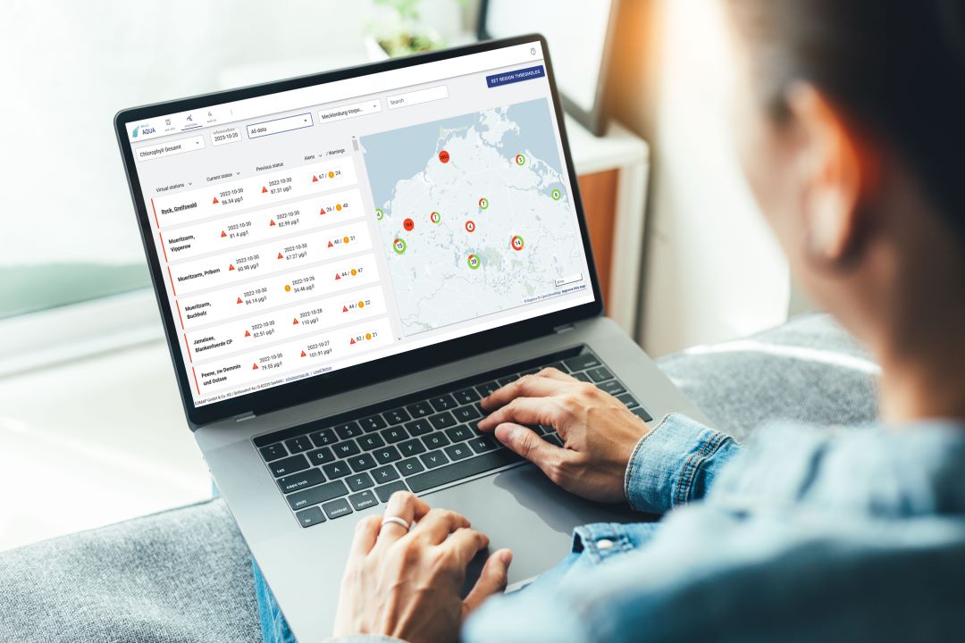
Update der eoapp AQUA
01 / 2025
eoapp AQUA updated
12 / 2024
A short recap of 2024
12 / 2024
COASTS – Projekt für widerstandsfähigere Küsten-Ökosysteme gestartet
12 / 2024
COASTS project launched to enhance coastal resilience and blue carbon ecosystems
10 / 2024


