EOMAP provides shallow water bathymetry for the South China Sea
Singapore/Seefeld, Germany
EOMAP Asia Pacific today launches the most up-to-date and detailed data set for the islands in South China Sea, generated by groundbreaking Satellite Derived Bathymetry techniques.
The islands of the South China Sea are several hundred km away from the nearest coast and are surrounded by water deeper than 1000m, which is assumed to hold extensive of oil and gas reserves. The area is a disputed territory of several countries within the Asian region. Data about the underwater topography are outdated or not accessible.
Instead of relying on acoustic or airborne methods to map the over 250 islands, atolls, cays, shoals, reefs and sandbanks, EOMAP used satellite image technologies, a rapid and cost effective solution. With EOMAP having mapped the Great Barrier Reef of Australia, the Mexican Riviera Maya and the Persian Gulf this is the next big step towards an increasing and updated bathymetric database, which is offered to commercial and governmental clients both alike.
A.S. Mittal, CEO EOMAP Asia Pacific commented, that “such techniques from satellite allow us to map these islands from space and provide options for continuous mapping at regular intervals. We will continue to monitor these areas for changes and provide such detailed reports to anyone who subscribes to our monitoring services. “
The data are available in a 15m bathymetric grid and on request in a 2m or even sub meter grid using the most recent satellite imagery. With the clear water conditions of the South China Sea water depth up to the 25m contour line could be mapped. This is actually the depth range which is of particular importance for navigation.
Dr. T. Heege, CEO EOMAP summarizes, that “EOMAP’s bathymetric database has now extended to another important region of the world. Clients’ benefits are obvious, rapid up-to date bathymetry maps with a very attractive pricing.”
EOMAP is the world leader in aquatic remote sensing services, notably using optical sensors to derive bathymetry, seafloor and water quality products. Pioneering in the field of satellite-derived high resolution water quality and bathymetry, EOMAP solutions rely on standardized physical models which are independent of scale, sensor type, and geographic location. EOMAP has received several awards from the COPERNICUS program of the European Commission and ESA (European Space Agency) for its work on making affordable aquatic remote sensing products for industry and the public sector.
For more information, please contact: EOMAP media team, Tel: +49 8152 9986 110 or the Singapore office +65 98286224
Latest EOMAP News
Reuters bases Mekong article on EOMAP data
Cyanobacteria on the rise – algal blooms in bathing waters
SDB Update #7 – Topobathy of the Red Sea
SDB Update #6 – Satellite-based Topobathy Models
SDB Update #5 – Storymap on Satellite-Derived Bathymetry
SDB Update #4 – Northern Canada’s shallow waters mapped in 100 m
Related Posts
08 / 2025
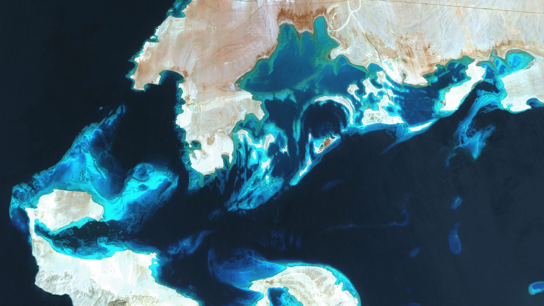
SDB Update #7 – Topobathy of the Red Sea
07 / 2025
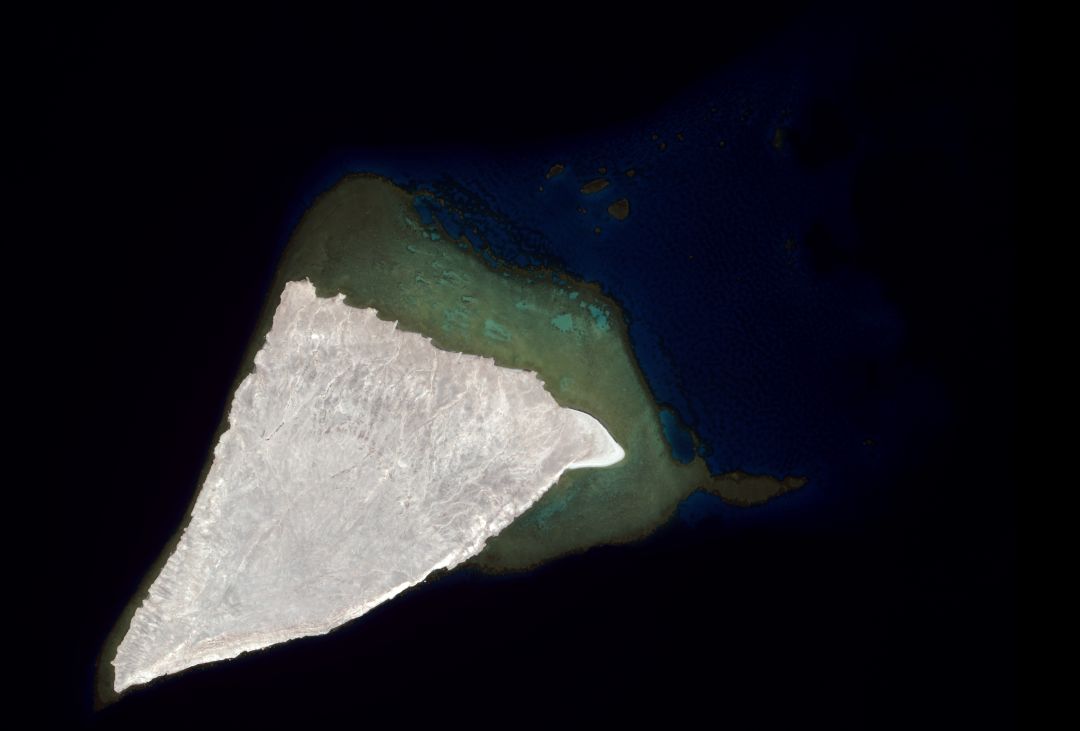
SDB Update #6 – Satellite-based Topobathy Models
07 / 2025
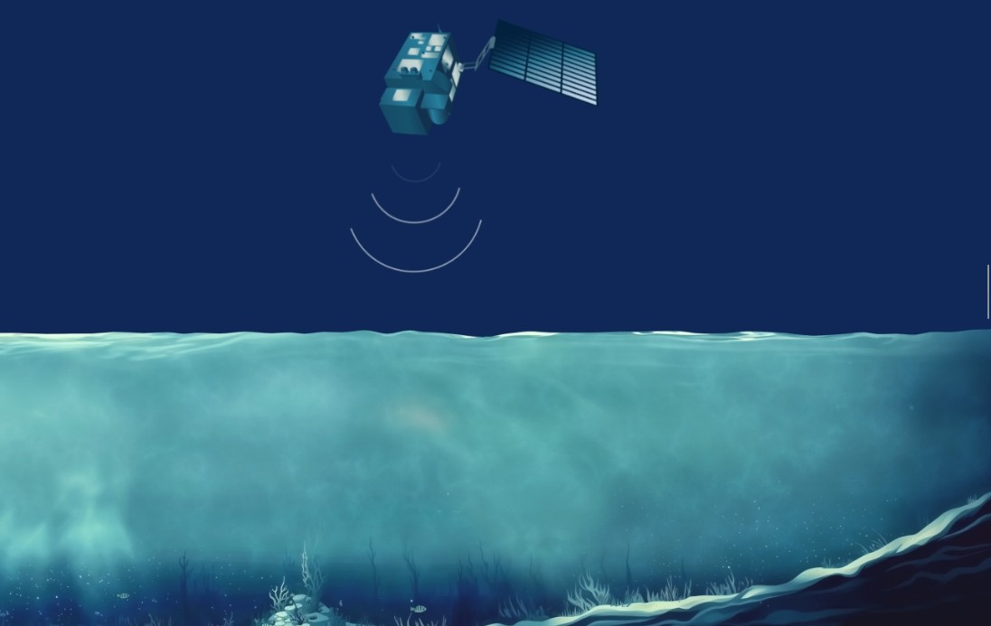
SDB Update #5 – Storymap on Satellite-Derived Bathymetry
06 / 2025
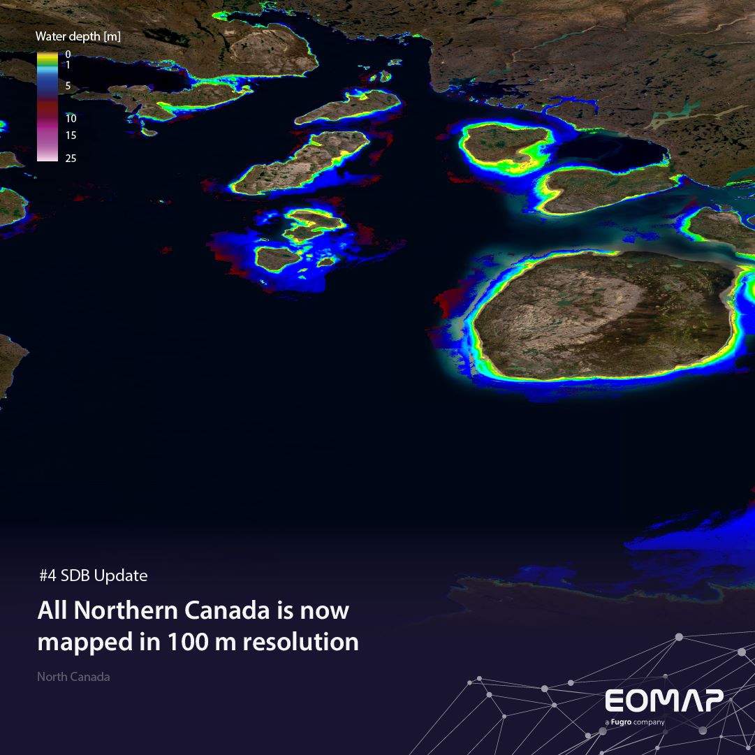
SDB Update #4 – Northern Canada’s shallow waters mapped in 100 m
06 / 2025
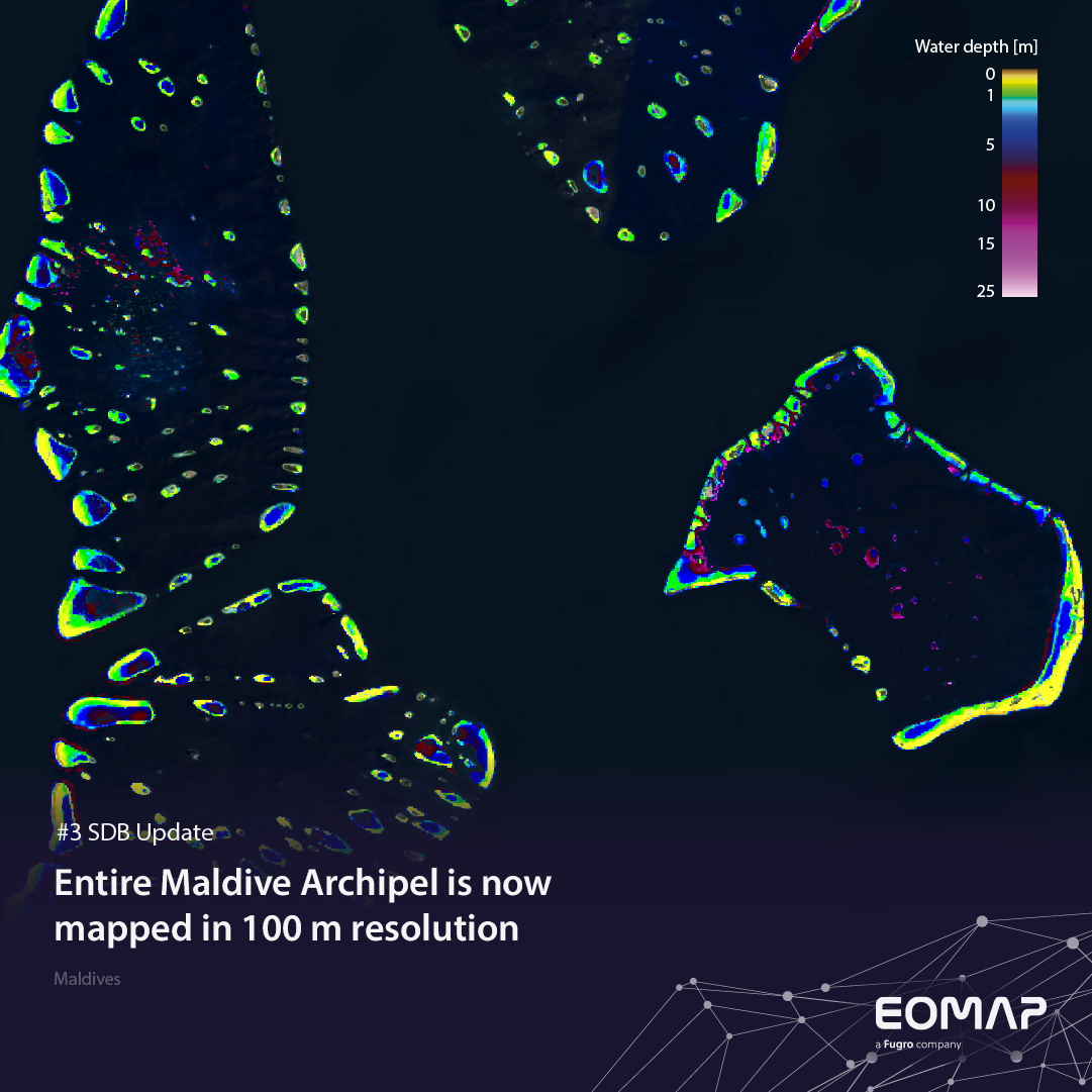
SDB Update #3 – The Maldives’ shallow waters mapped in 100 m
05 / 2025
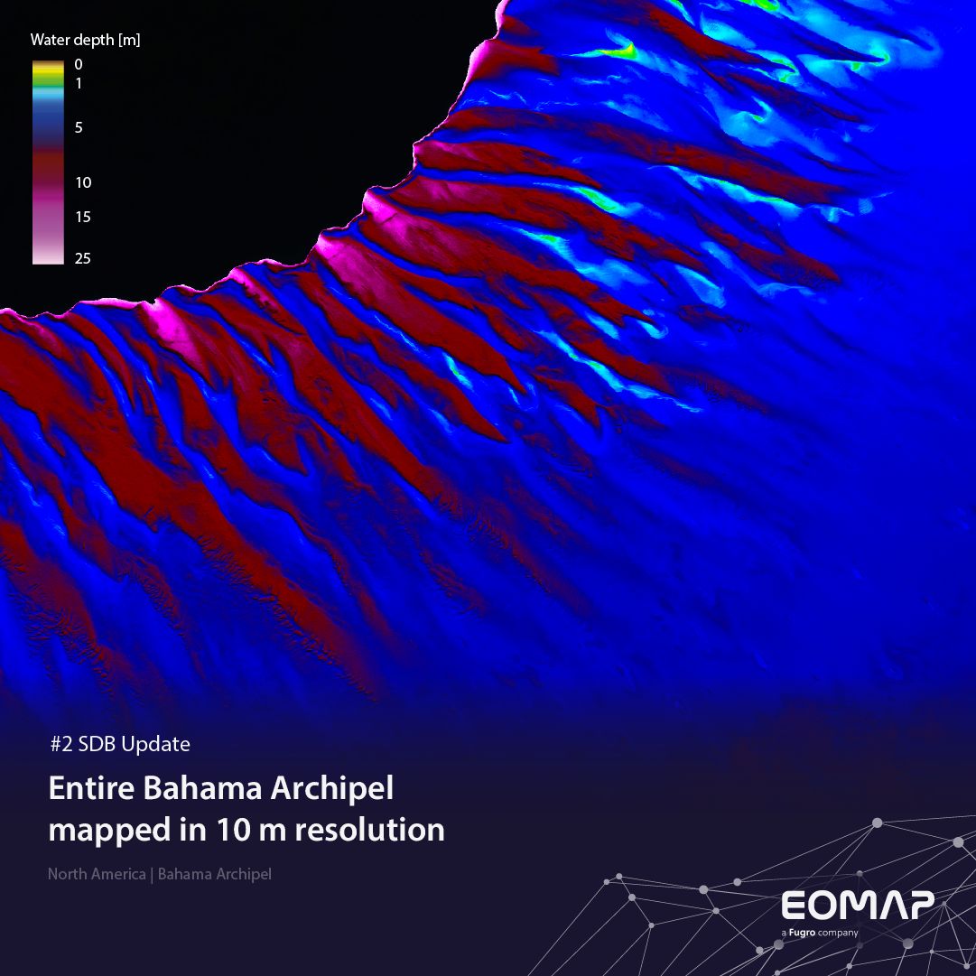
SDB update #2 – The Bahamas mapped in 10 m
05 / 2025
SDB update #1 on Australia: All shallow waters mapped
12 / 2024
COASTS – Projekt für widerstandsfähigere Küsten-Ökosysteme gestartet
12 / 2024
COASTS project launched to enhance coastal resilience and blue carbon ecosystems
10 / 2024


