EOMAP competes in Copernicus Masters Illustration Challenge 2013
The EOMAP team created a 3D visualisation for Copernicus Masters Illustration Challenge 2013 “Traces of Humankind”showing satellite derived underwater and land topography of a human modified island.
Please vote for us giving 5 stars for “From the sea to the land, seamless 3-D visualisation of Al Quaffay Island” online.
The EOMAP Bathymetry image in the competition is generated in a workflow that derives the physical properties of aquatic environments from multispectral WorldView-2 data in 2m resolution. For the land topography, the ASTER Global Digital Elevation Model in 30m resolution is used. The fusion of World-View-2 satellite imagery, the EOMAP Bathymetry and the ASTER GDEM allows a spectacular view of human modified aquatic environments.
The most voted picture will be printed in the GEO Magazine and the winner is awarded with a flight to the 2014 Sentinel satellite launch at Kourou Space Port in French Guiana.
In addition, all voters will enter a prize draw and get the chance to win a one-year free subscription to GEO (language of choice).
Latest EOMAP News
Reuters bases Mekong article on EOMAP data
Cyanobacteria on the rise – algal blooms in bathing waters
SDB Update #7 – Topobathy of the Red Sea
SDB Update #6 – Satellite-based Topobathy Models
SDB Update #5 – Storymap on Satellite-Derived Bathymetry
SDB Update #4 – Northern Canada’s shallow waters mapped in 100 m
Related Posts
08 / 2025
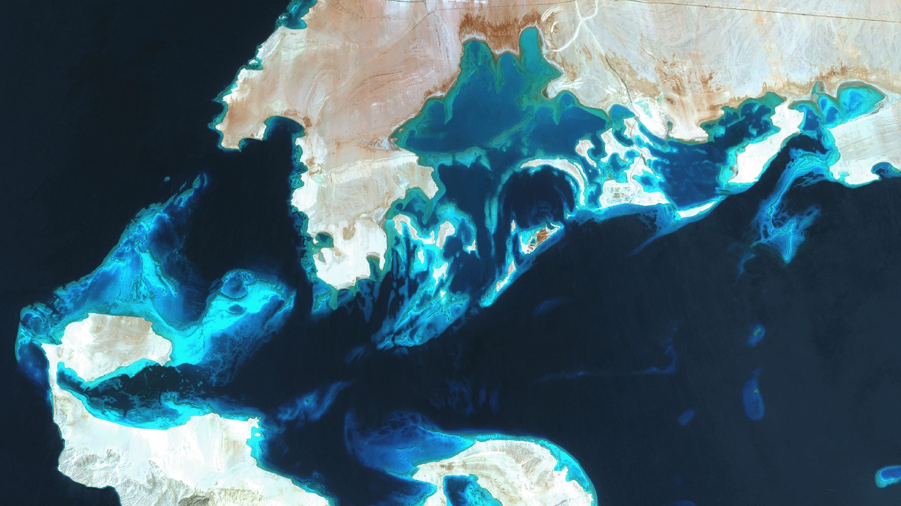
SDB Update #7 – Topobathy of the Red Sea
07 / 2025
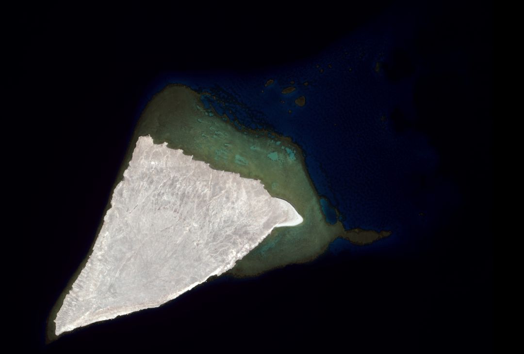
SDB Update #6 – Satellite-based Topobathy Models
07 / 2025
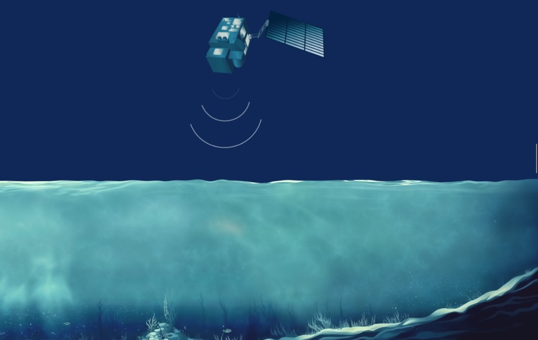
SDB Update #5 – Storymap on Satellite-Derived Bathymetry
06 / 2025
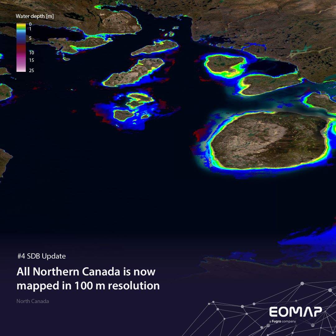
SDB Update #4 – Northern Canada’s shallow waters mapped in 100 m
06 / 2025
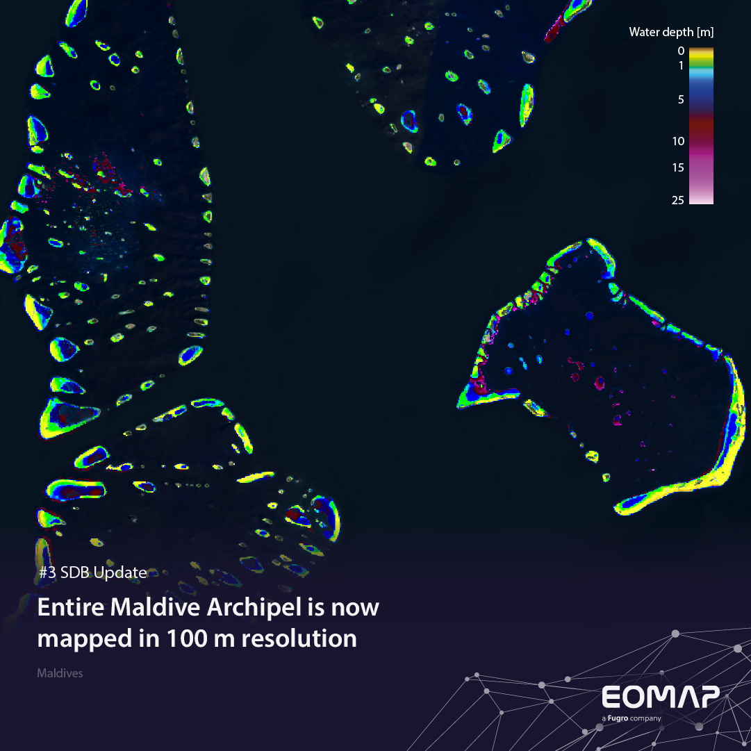
SDB Update #3 – The Maldives’ shallow waters mapped in 100 m
05 / 2025
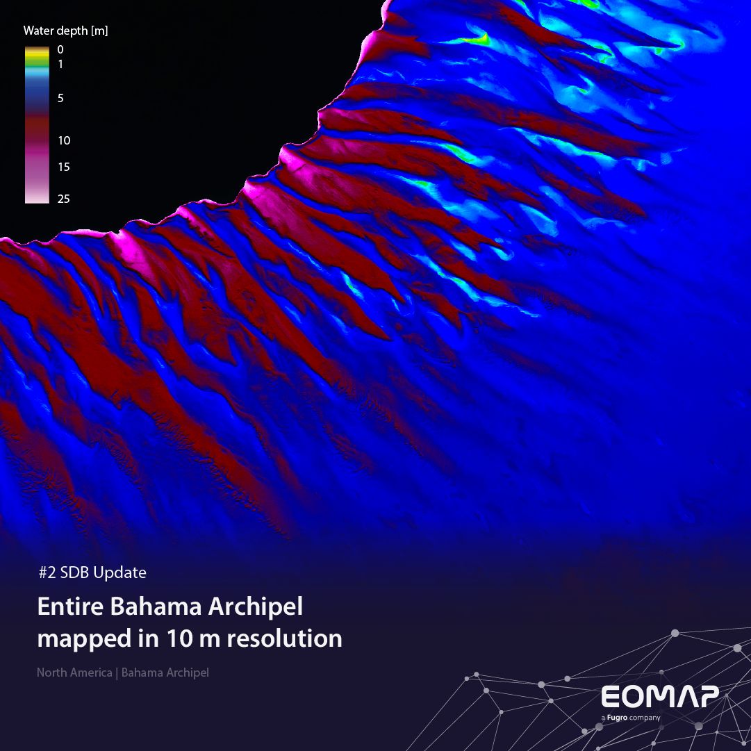
SDB update #2 – The Bahamas mapped in 10 m
05 / 2025
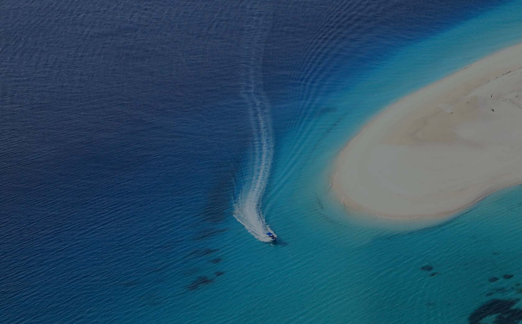
SDB update #1 on Australia: All shallow waters mapped
12 / 2024
COASTS – Projekt für widerstandsfähigere Küsten-Ökosysteme gestartet
12 / 2024
COASTS project launched to enhance coastal resilience and blue carbon ecosystems
10 / 2024


