In the latest edition of Schiff & Hafen, Dr. Knut Hartmann, Director Client Services at EOMAP GmbH & Co. KG, introduces MarSat, a network of data suppliers, users and academia, and discusses the value of Earth Observation data and the challenges of satellite-borne methods for the maritime community. EOMAP is project partner and coordinates the interdisciplinary project since 2016.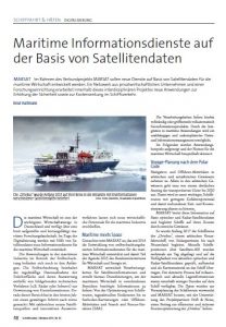
Data from Earth Observation (EO) satellites offer a unique view of our oceans, seas, and coasts. Satellites, and their on-board sensors, on the one hand side provide routine, cost effective, wide area surveillance covering all maritime zones, and, one the other hand side, can precisely be pointed to targeted locations for monitoring specific operations or to gather information in response to intelligence requirements.
Please read on:
MARSAT_Artikel_Schiff_Hafen_10_2017
For further information on MarSat, please go to https://marsat-project.org/index.php/en/. MARSAT_Artikel_Schiff_Hafen_10_2017
Latest EOMAP News
Reuters bases Mekong article on EOMAP data
Cyanobacteria on the rise – algal blooms in bathing waters
SDB Update #7 – Topobathy of the Red Sea
SDB Update #6 – Satellite-based Topobathy Models
SDB Update #5 – Storymap on Satellite-Derived Bathymetry
SDB Update #4 – Northern Canada’s shallow waters mapped in 100 m
Related Posts
08 / 2025
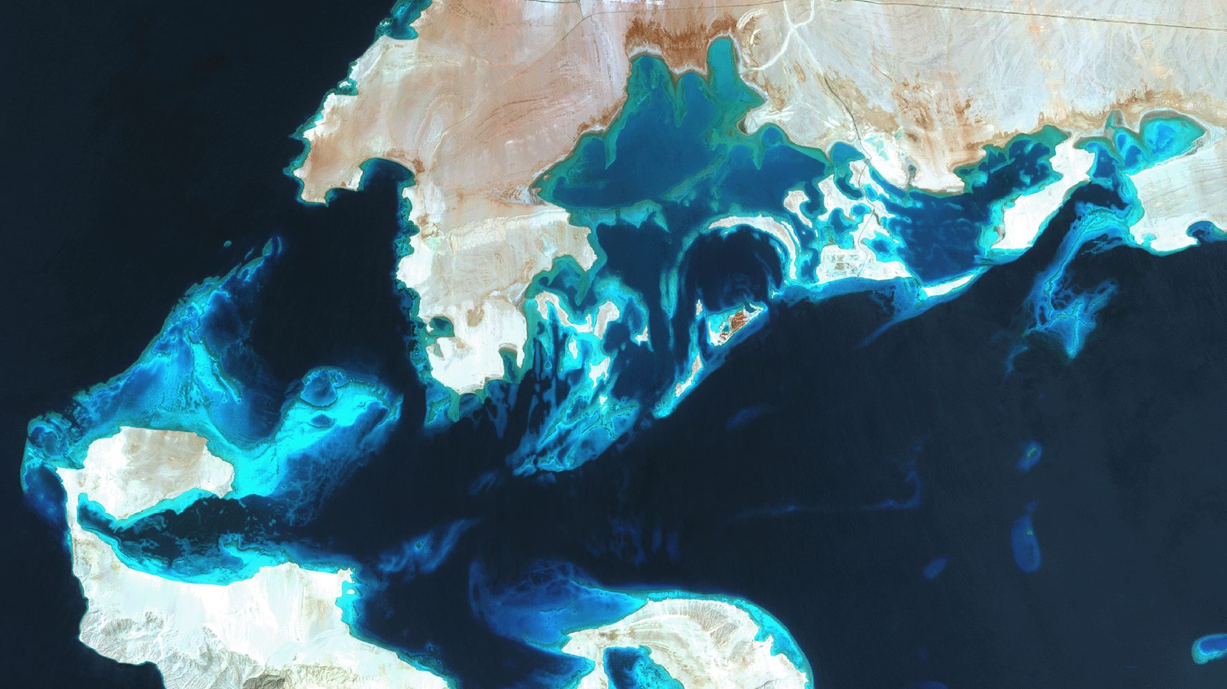
SDB Update #7 – Topobathy of the Red Sea
07 / 2025
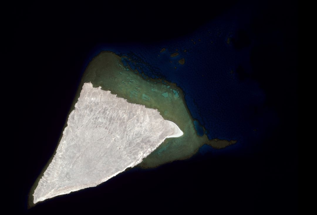
SDB Update #6 – Satellite-based Topobathy Models
07 / 2025
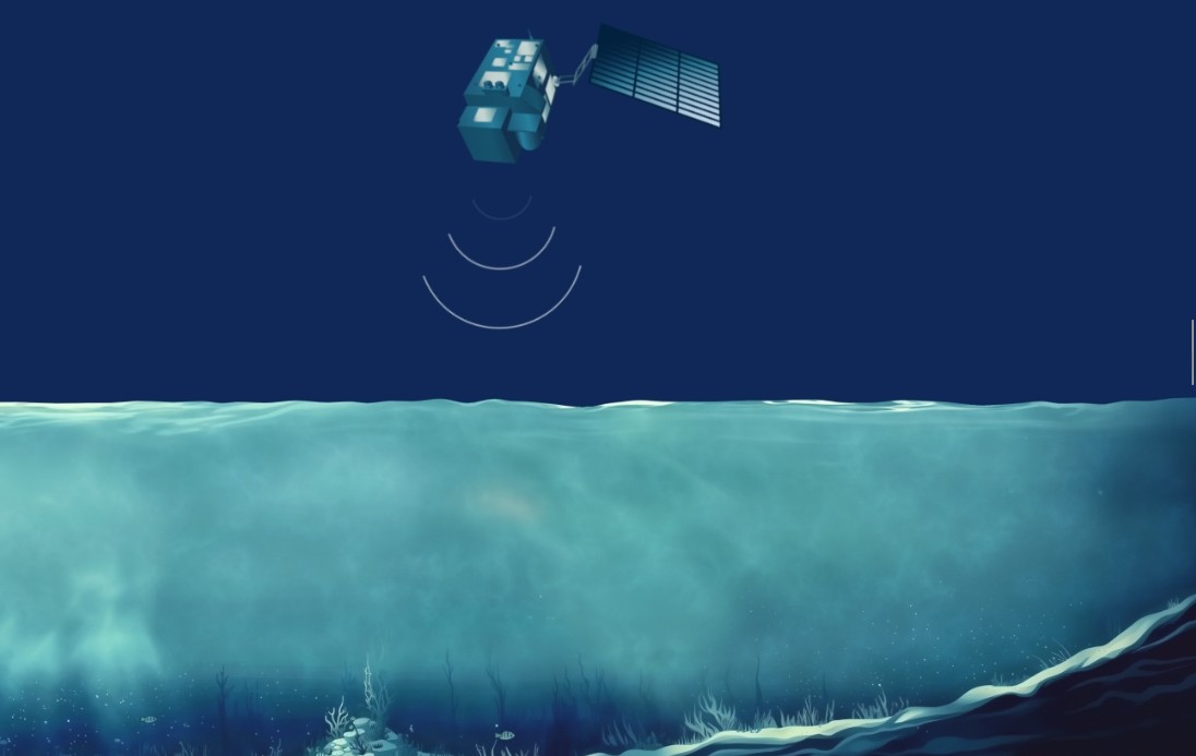
SDB Update #5 – Storymap on Satellite-Derived Bathymetry
06 / 2025
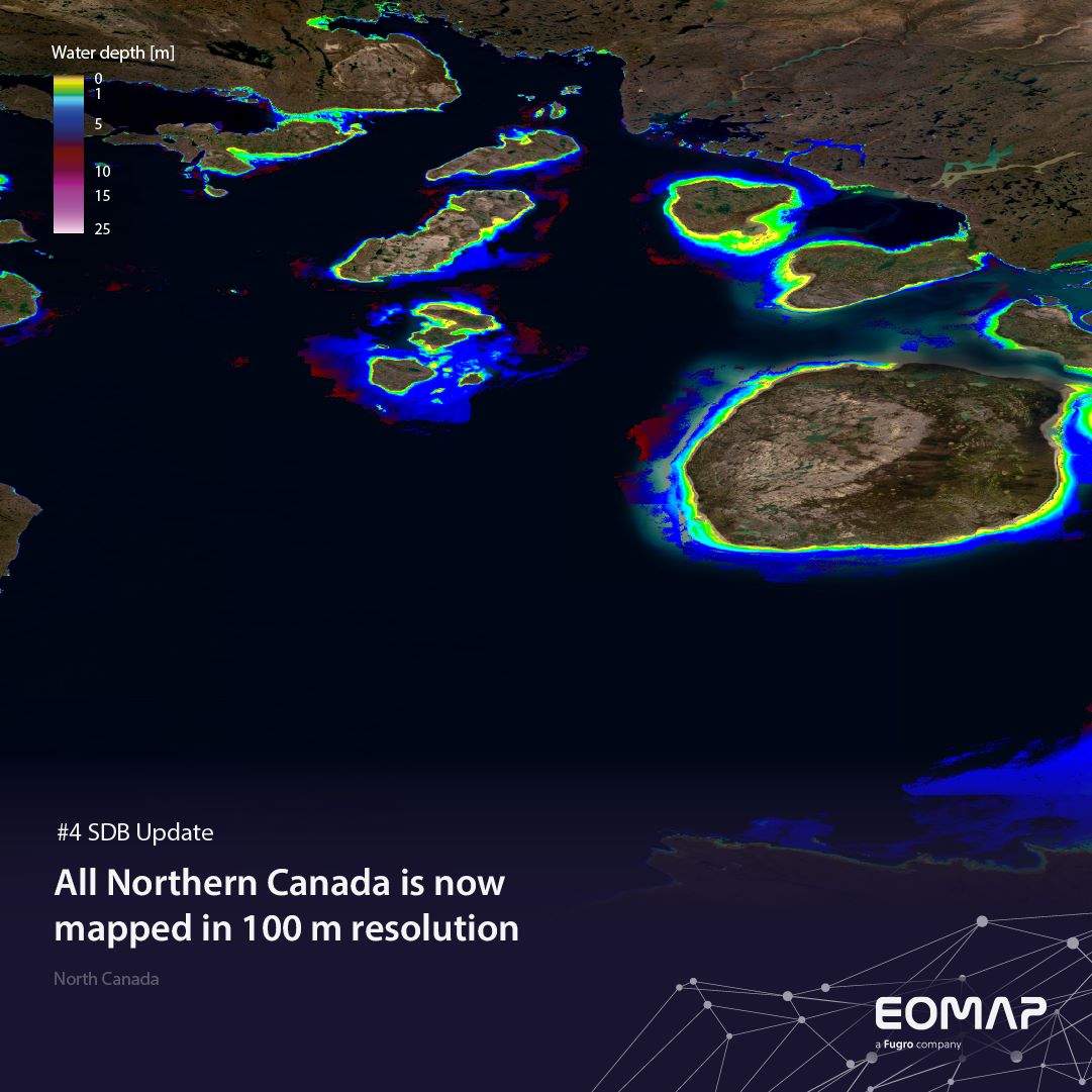
SDB Update #4 – Northern Canada’s shallow waters mapped in 100 m
06 / 2025
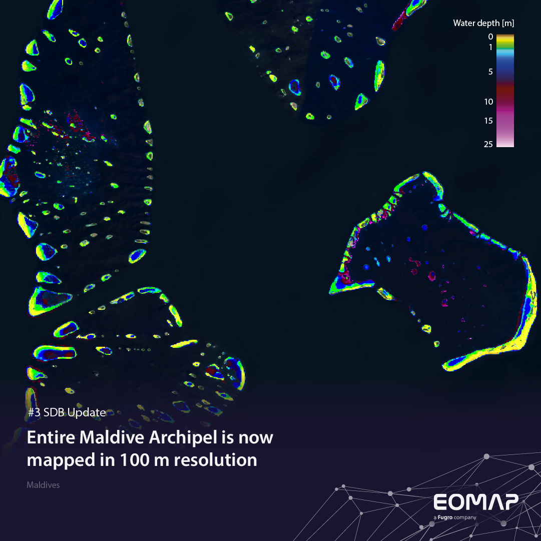
SDB Update #3 – The Maldives’ shallow waters mapped in 100 m
05 / 2025
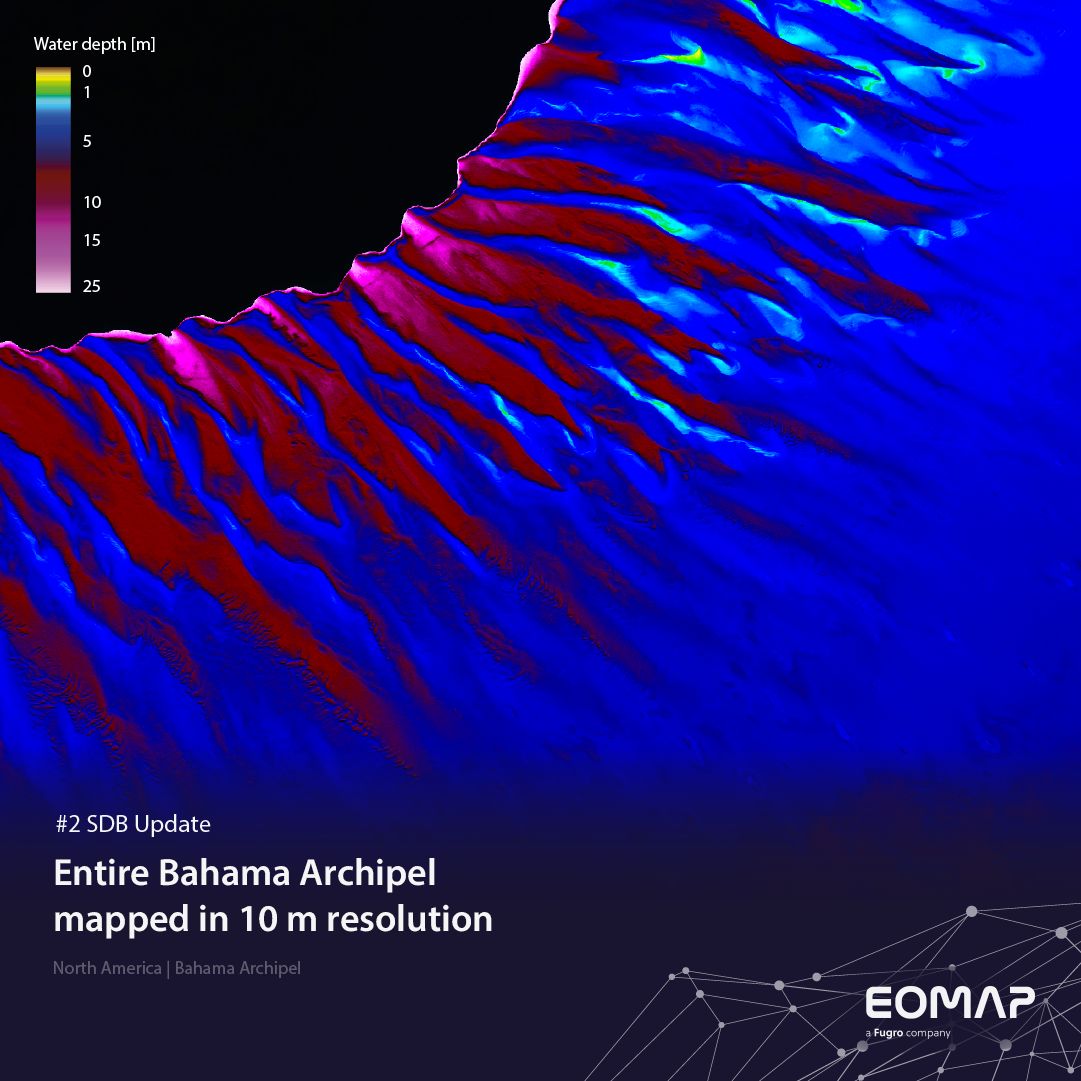
SDB update #2 – The Bahamas mapped in 10 m
05 / 2025
SDB update #1 on Australia: All shallow waters mapped

12 / 2024
COASTS – Projekt für widerstandsfähigere Küsten-Ökosysteme gestartet
12 / 2024
COASTS project launched to enhance coastal resilience and blue carbon ecosystems
10 / 2024


