High-resolution, current bathymetric data is important to an increasing number of applications and stakeholders. It’s also quite rare. Marie-Luise Wilhelm explains how different satellite techniques, combined with crowd-sourcing, are being used to solve the problem
Suitably up to date, high-resolution bathymetric data is increasingly important for a large number of applications, such as safe navigation, reconnaissance surveys, offshore construction as well as geomorphological studies, coastal zone management, habitat mapping and hydrodynamic modelling. Different stakeholders have different needs for their bathymetry datasets, and its availability is key to understanding the characteristics of the marine environment and developing long-term sustainable management plans. However, there is a lack of available data that is recent and of sufficiently high quality.
Base Platform, which started running commercially in January, offers cost-saving instant access to bathymetric products for an area of interest or for customised solutions, using the efficiencies of remote sensing of bathymetry and the benefits of crowd sourcing and tidal modelling. It began as an EU Horizon 2020 project to demonstrate, validate and integrate different bathymetric technologies, including optical and synthetic aperture radar (SAR) satellite-based techniques and crowd-sourced bathymetry. While all these techniques existed individually before, Base Platform merges them and their respective applicable depths, allowing for a wider coverage and highly accurate data. Furthermore, it takes existing, proven algorithms and automates them much further than had previously been achieved, making the data-processing faster and reducing the cost of the end product.
From above
Optical bathymetry from satellite data obtains the water depth by analysing the spectral changes of the seafloor – the technique can cover from the high-water mark to about 30m depth in the clear waters of the Caribbean, but in less clear waters such as the North Sea,……
For the full article, please go to: https://www.geoconnexion.com/publications/geo-international/issue/february-2018-international-issue/article/ocean-colour-scene
Latest EOMAP News
Reuters bases Mekong article on EOMAP data
Cyanobacteria on the rise – algal blooms in bathing waters
SDB Update #7 – Topobathy of the Red Sea
SDB Update #6 – Satellite-based Topobathy Models
SDB Update #5 – Storymap on Satellite-Derived Bathymetry
SDB Update #4 – Northern Canada’s shallow waters mapped in 100 m
Related Posts
08 / 2025
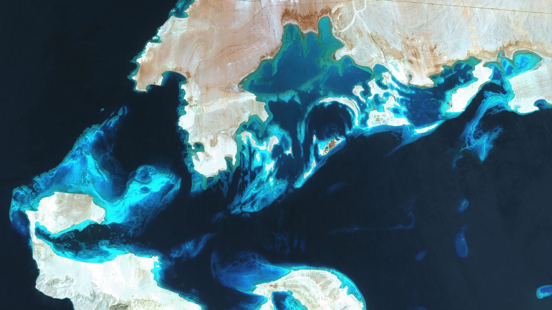
SDB Update #7 – Topobathy of the Red Sea
07 / 2025
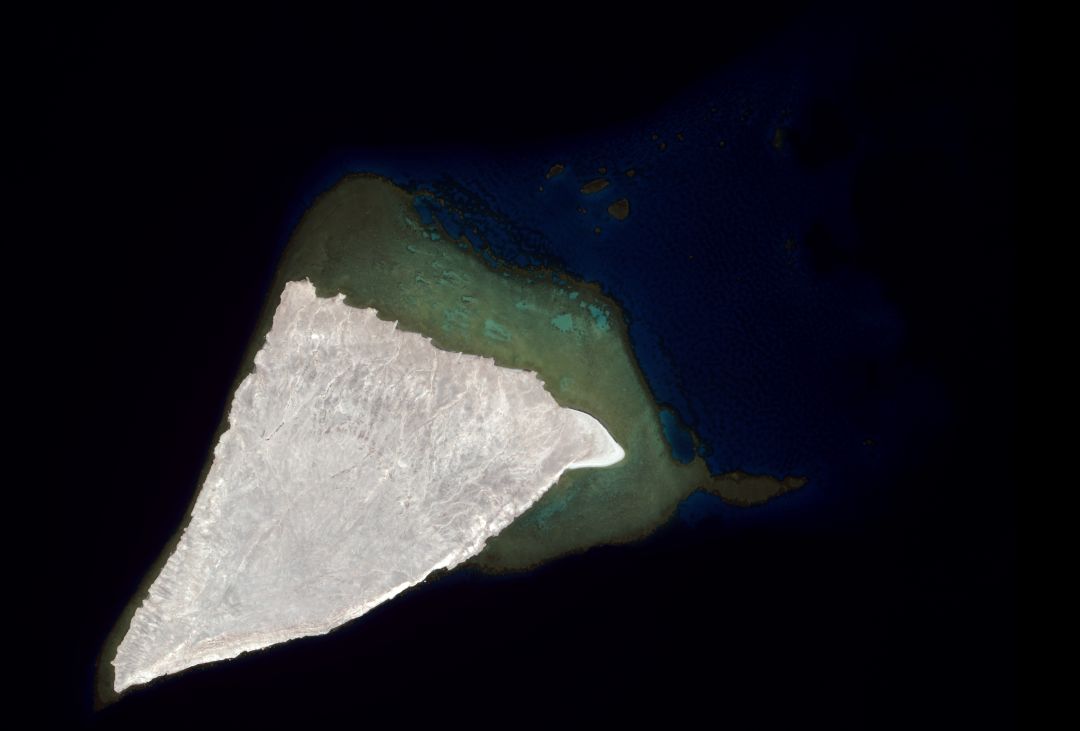
SDB Update #6 – Satellite-based Topobathy Models
07 / 2025
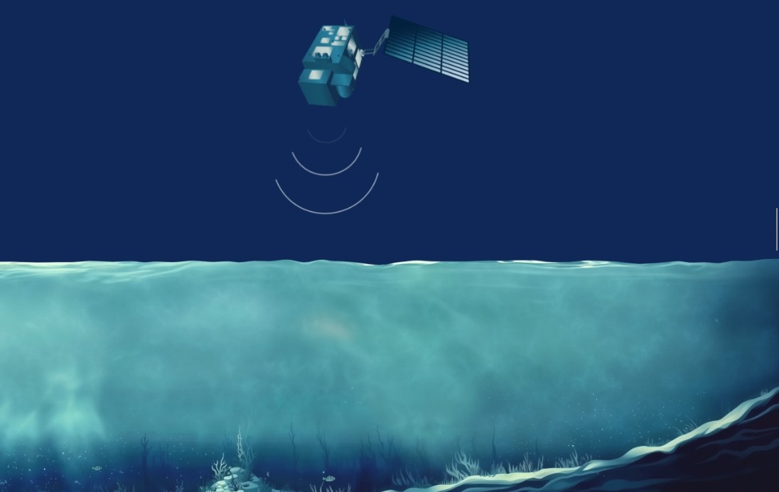
SDB Update #5 – Storymap on Satellite-Derived Bathymetry
06 / 2025
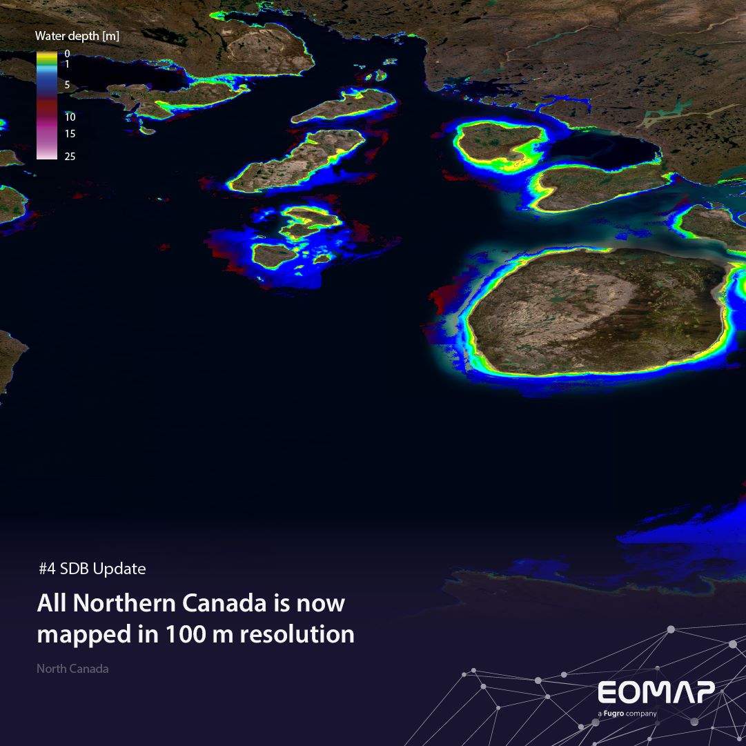
SDB Update #4 – Northern Canada’s shallow waters mapped in 100 m
06 / 2025
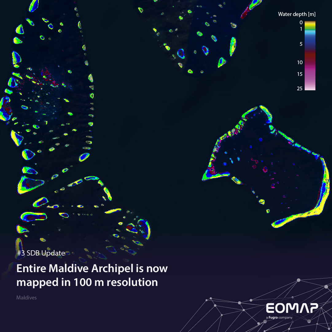
SDB Update #3 – The Maldives’ shallow waters mapped in 100 m
05 / 2025
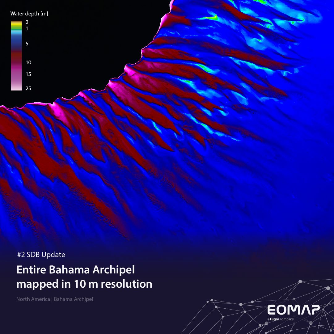
SDB update #2 – The Bahamas mapped in 10 m
05 / 2025
SDB update #1 on Australia: All shallow waters mapped
12 / 2024
COASTS – Projekt für widerstandsfähigere Küsten-Ökosysteme gestartet
12 / 2024
COASTS project launched to enhance coastal resilience and blue carbon ecosystems
10 / 2024


