EOMAP is proud to announce Edward Albada as the newest member of the team, representing EOMAP throughout the North Americas and Caribbean region.
Edward is from Trinidad & Tobago and was introduced to the tropical clear waters of the Caribbean from birth. His love of the sea led him to pursue an education in Coastal and Oceanographic Engineering at the University of Florida. He has amassed 25 years of experience working on coastal development from inception, modelling, design and construction throughout the globe, with particular experience in projects within the Caribbean. Edward was first introduced to EOMAP in 2015, and has applied EOMAP’s services to almost every applicable project since. It transformed his approach to data and information gathering for his projects, in particular in uncharted, remote or inaccessible locations. In addition, the ability to generate time series and replicate data associated with historical satellite imagery has opened new capabilities in coastal assessments, planning and engineering that provides increased confidence and reassurance for project development decisions.
“My appreciation of the value of EOMAP’s technology to my field of expertise is based on hands-on experience. I believe that satellite-derived mapping and monitoring services can serve a much wider community. My knowledge and confidence in the EOMAP activities and their strong research and development commitment were key considerations in my decision to join the EOMAP team. I am excited at the opportunities and look forward to developing the market in the North Americas and Caribbean.”
Edward is based in Santa Barbara, California and represents EOMAP throughout the North Americas and Caribbean region.
Contact Edward at
Edward.Albada@eomap.com
Santa Barbara, California, U.S.A.
+1-805-335-0495
+1-868-387-0121
Latest EOMAP News
Reuters bases Mekong article on EOMAP data
Cyanobacteria on the rise – algal blooms in bathing waters
SDB Update #7 – Topobathy of the Red Sea
SDB Update #6 – Satellite-based Topobathy Models
SDB Update #5 – Storymap on Satellite-Derived Bathymetry
SDB Update #4 – Northern Canada’s shallow waters mapped in 100 m
Related Posts
05 / 2025
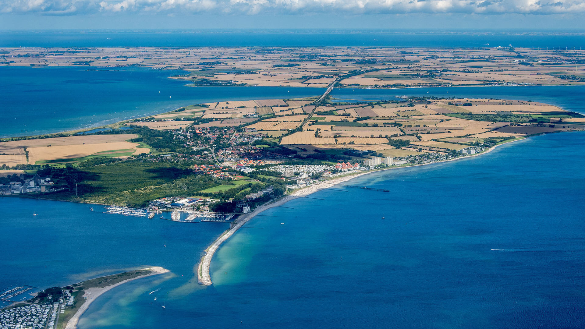
Planet contract: Supporting Germany’s water monitoring
03 / 2025
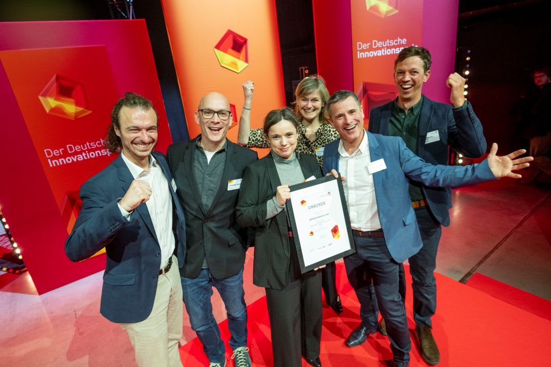
German Innovation Prize 2025 – EOMAP listed among top 3
03 / 2025
Deutscher Innovationspreis 2025 – EOMAP unter den top 3

02 / 2025
Fugro acquires EOMAP
02 / 2025
Fugro erwirbt EOMAP
12 / 2024
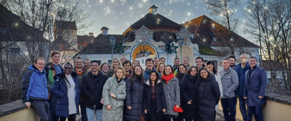
A short recap of 2024
12 / 2024
COASTS – Projekt für widerstandsfähigere Küsten-Ökosysteme gestartet
12 / 2024
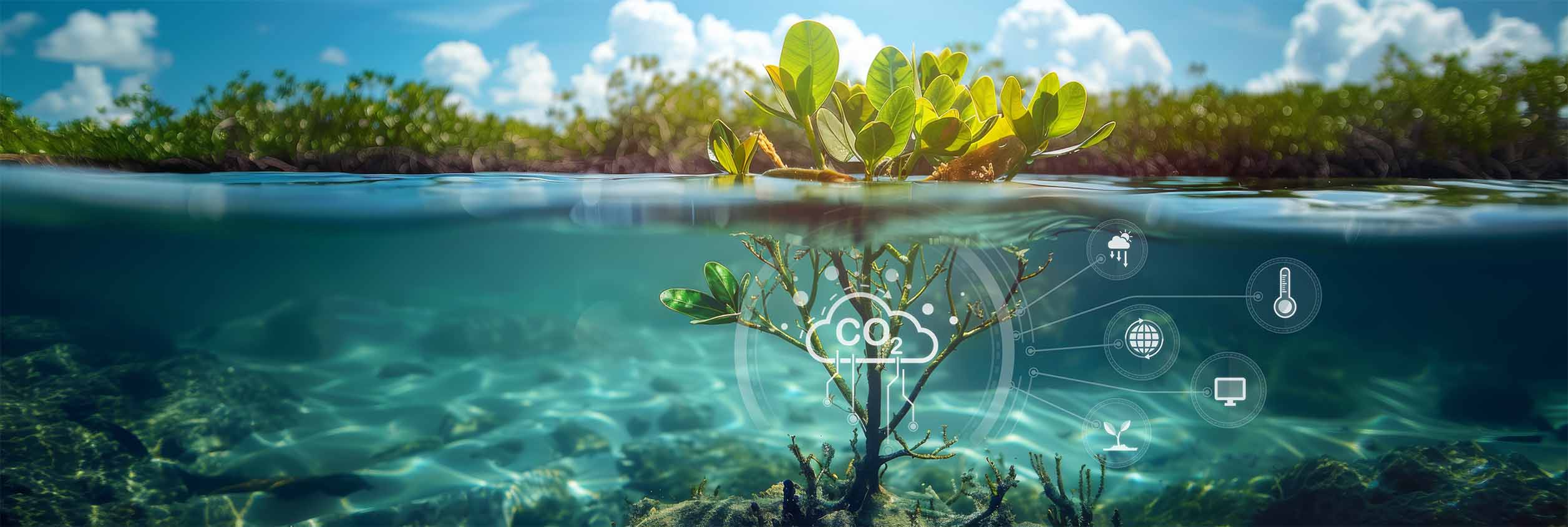
COASTS project launched to enhance coastal resilience and blue carbon ecosystems

09 / 2024
Danish Depth Model updated with EOMAP data

06 / 2024

