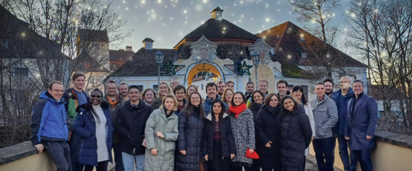
We are pleased to announce the Kick-Off of 4S, an EU co-funded project to bring new innovations to Satellite-Derived Bathymetry and seafloor mapping. Further information will follow soon!
4S is formed by QPS (NL), Fugro DE/NL), Smith Warner (JM), CNR ISMAR (IT), HCMR (GR), and Instituto Hidrográfico (PT), Länsstyrelsen Västerbotten (SE) and led by EOMAP (DE).
Latest EOMAP News
Reuters bases Mekong article on EOMAP data
Cyanobacteria on the rise – algal blooms in bathing waters
SDB Update #7 – Topobathy of the Red Sea
SDB Update #6 – Satellite-based Topobathy Models
SDB Update #5 – Storymap on Satellite-Derived Bathymetry
SDB Update #4 – Northern Canada’s shallow waters mapped in 100 m
Related Posts
05 / 2025
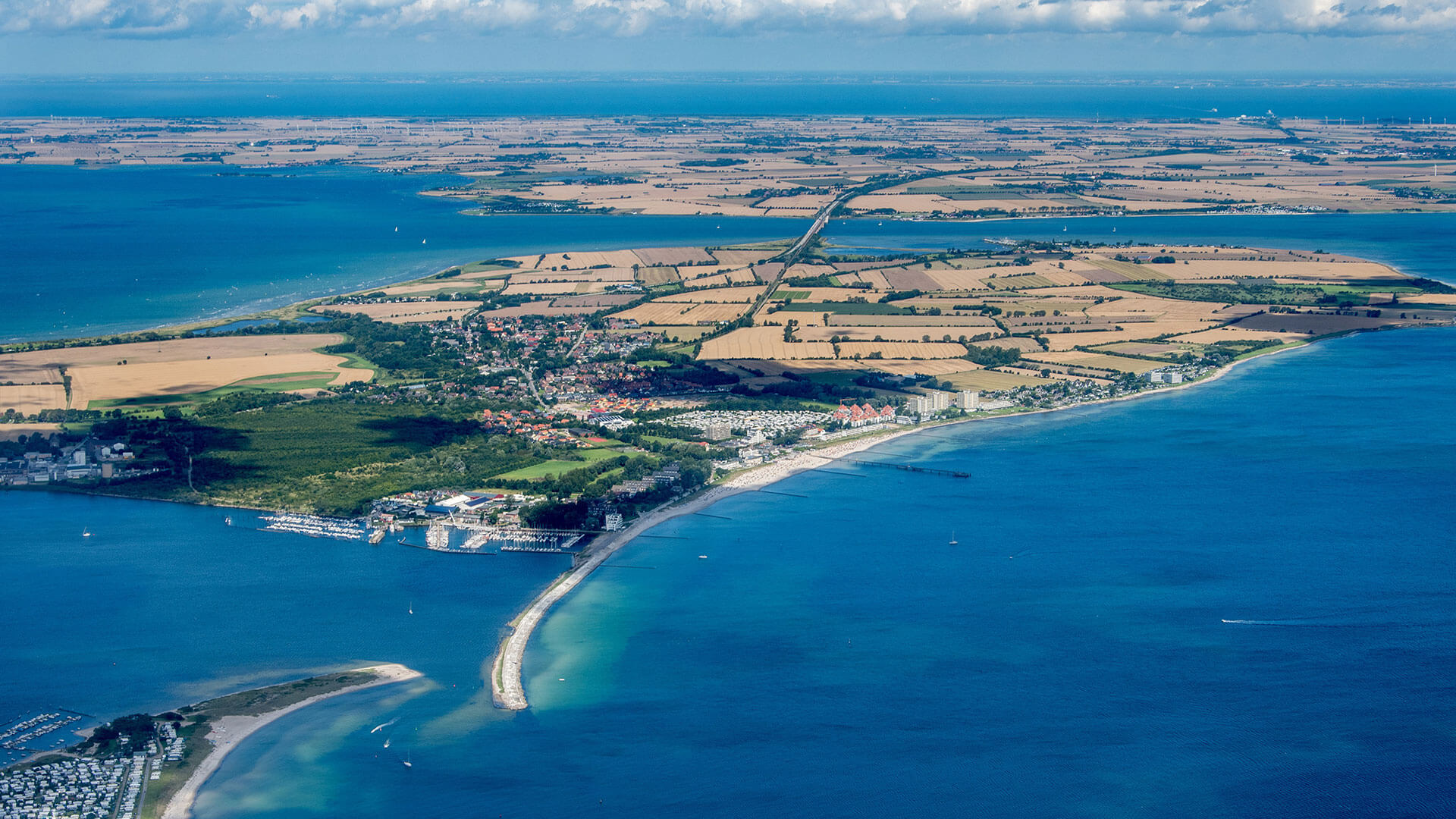
Planet contract: Supporting Germany’s water monitoring
03 / 2025
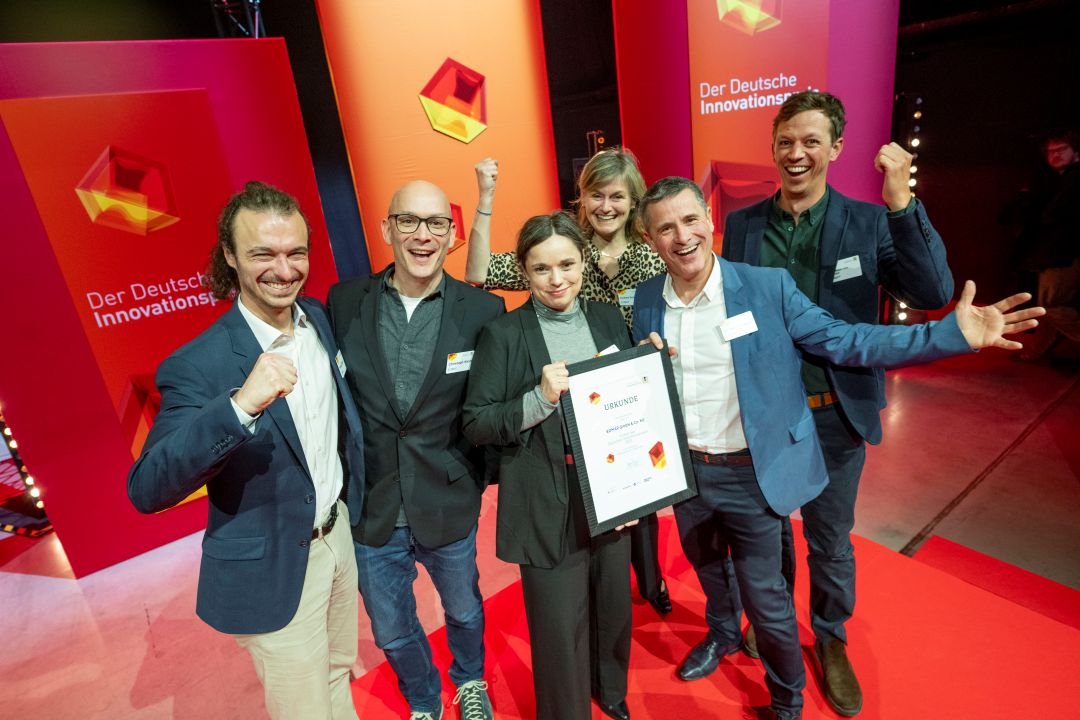
German Innovation Prize 2025 – EOMAP listed among top 3
03 / 2025
Deutscher Innovationspreis 2025 – EOMAP unter den top 3

02 / 2025
Fugro acquires EOMAP
02 / 2025
Fugro erwirbt EOMAP
12 / 2024
A short recap of 2024
12 / 2024
COASTS – Projekt für widerstandsfähigere Küsten-Ökosysteme gestartet
12 / 2024
COASTS project launched to enhance coastal resilience and blue carbon ecosystems

09 / 2024
Danish Depth Model updated with EOMAP data

06 / 2024


