EOMAP is glad to announce the 2021 edition of the SDB Day! SDB Day, an international Satellite-Derived Bathymetry Technology and User Forum, is hosted by EOMAP/ EOMAP Australia and took place in 2018 and 2019.
Due to the current Covid-19 situation, it will be held as two virtual conferences on
27th of January 2021: Americas, Caribbean, Europe and
10th of February 2021: Asia and Oceania
All important information will be provided during the next weeks. However, feel free to register and submit your abstracts already now!
Latest EOMAP News
Reuters bases Mekong article on EOMAP data
Cyanobacteria on the rise – algal blooms in bathing waters
SDB Update #7 – Topobathy of the Red Sea
SDB Update #6 – Satellite-based Topobathy Models
SDB Update #5 – Storymap on Satellite-Derived Bathymetry
SDB Update #4 – Northern Canada’s shallow waters mapped in 100 m
Related Posts
08 / 2025
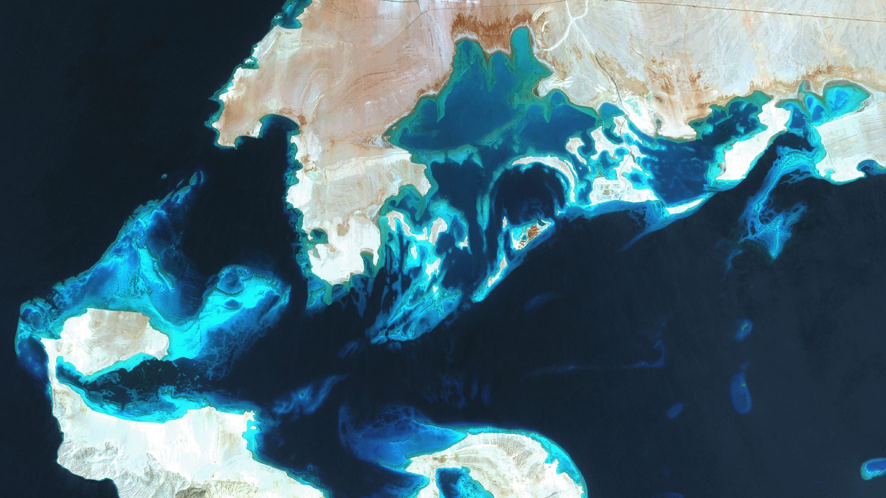
SDB Update #7 – Topobathy of the Red Sea
07 / 2025
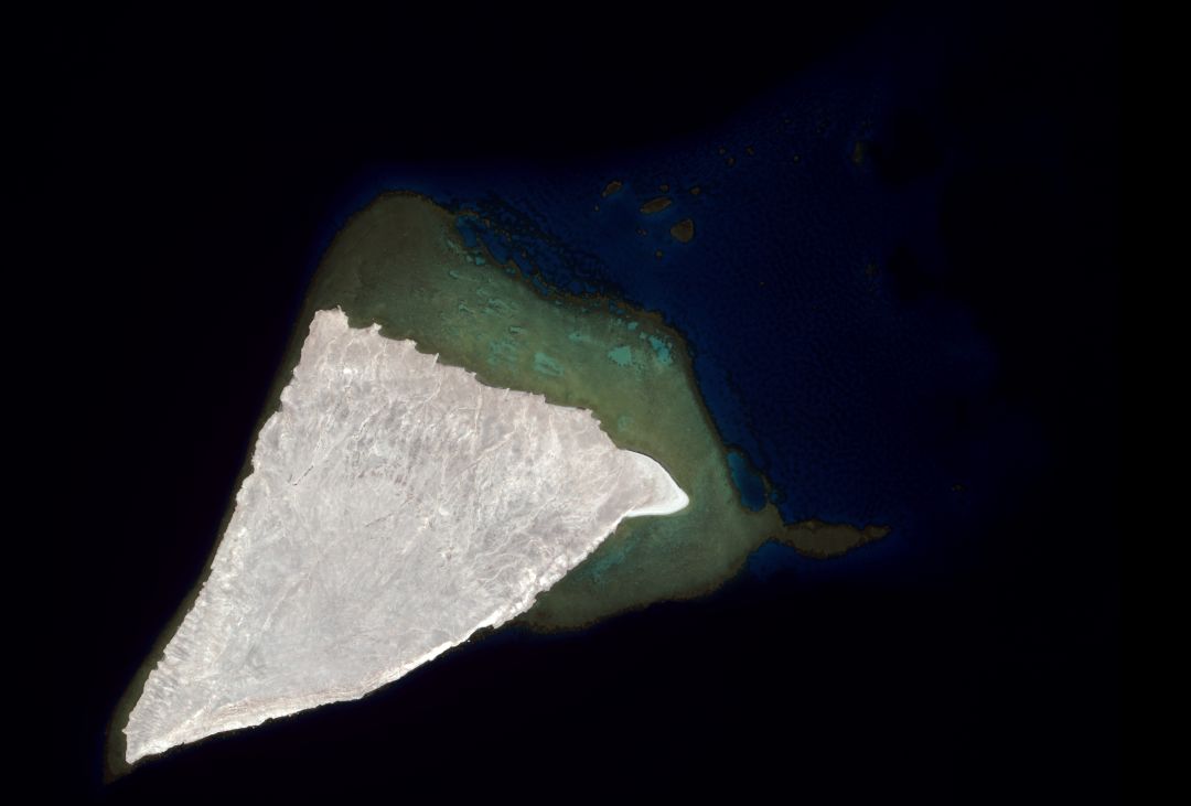
SDB Update #6 – Satellite-based Topobathy Models
07 / 2025
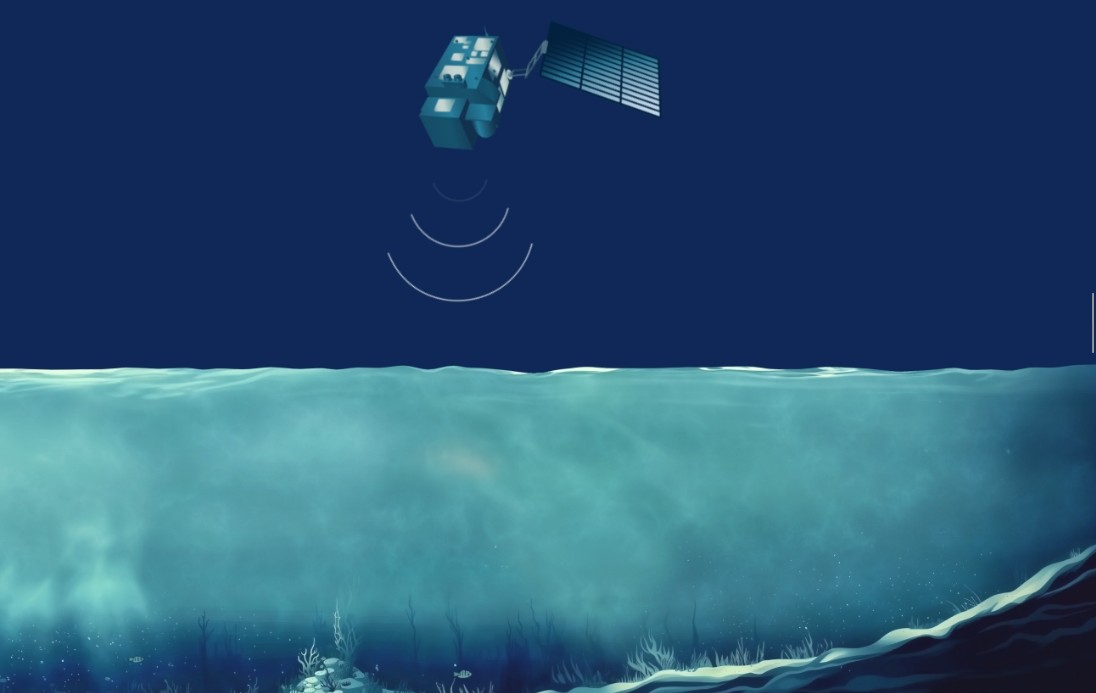
SDB Update #5 – Storymap on Satellite-Derived Bathymetry
06 / 2025
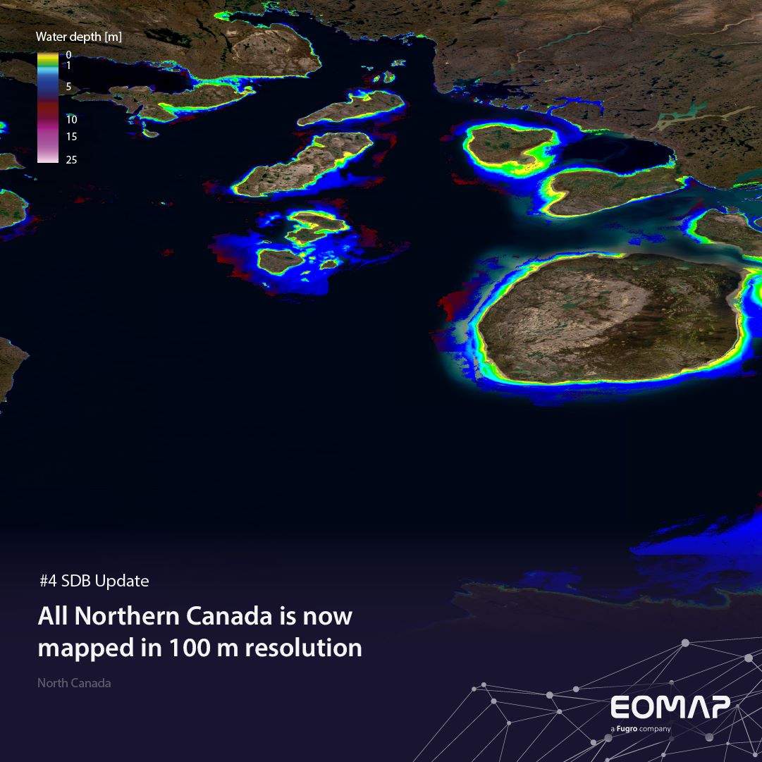
SDB Update #4 – Northern Canada’s shallow waters mapped in 100 m
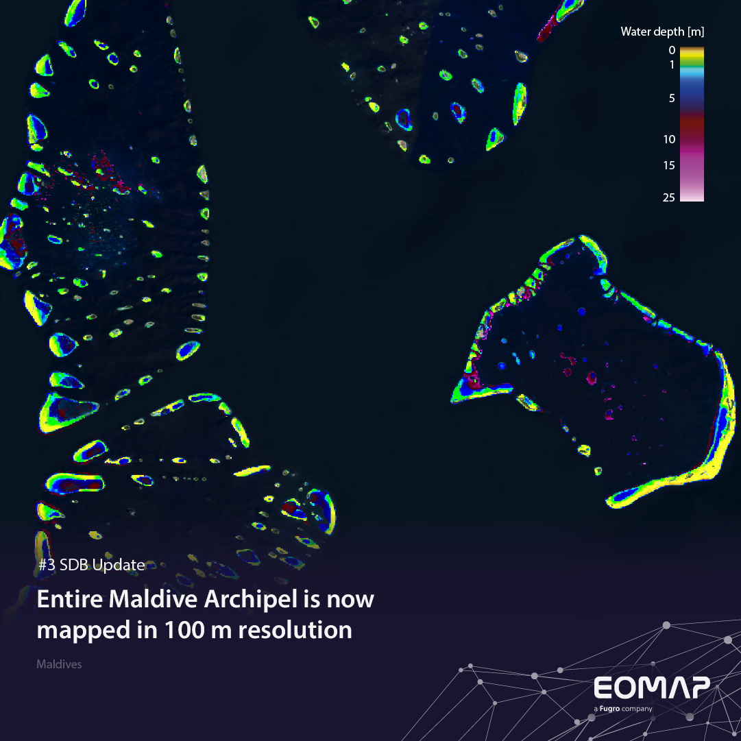
06 / 2025
SDB Update #3 – The Maldives’ shallow waters mapped in 100 m
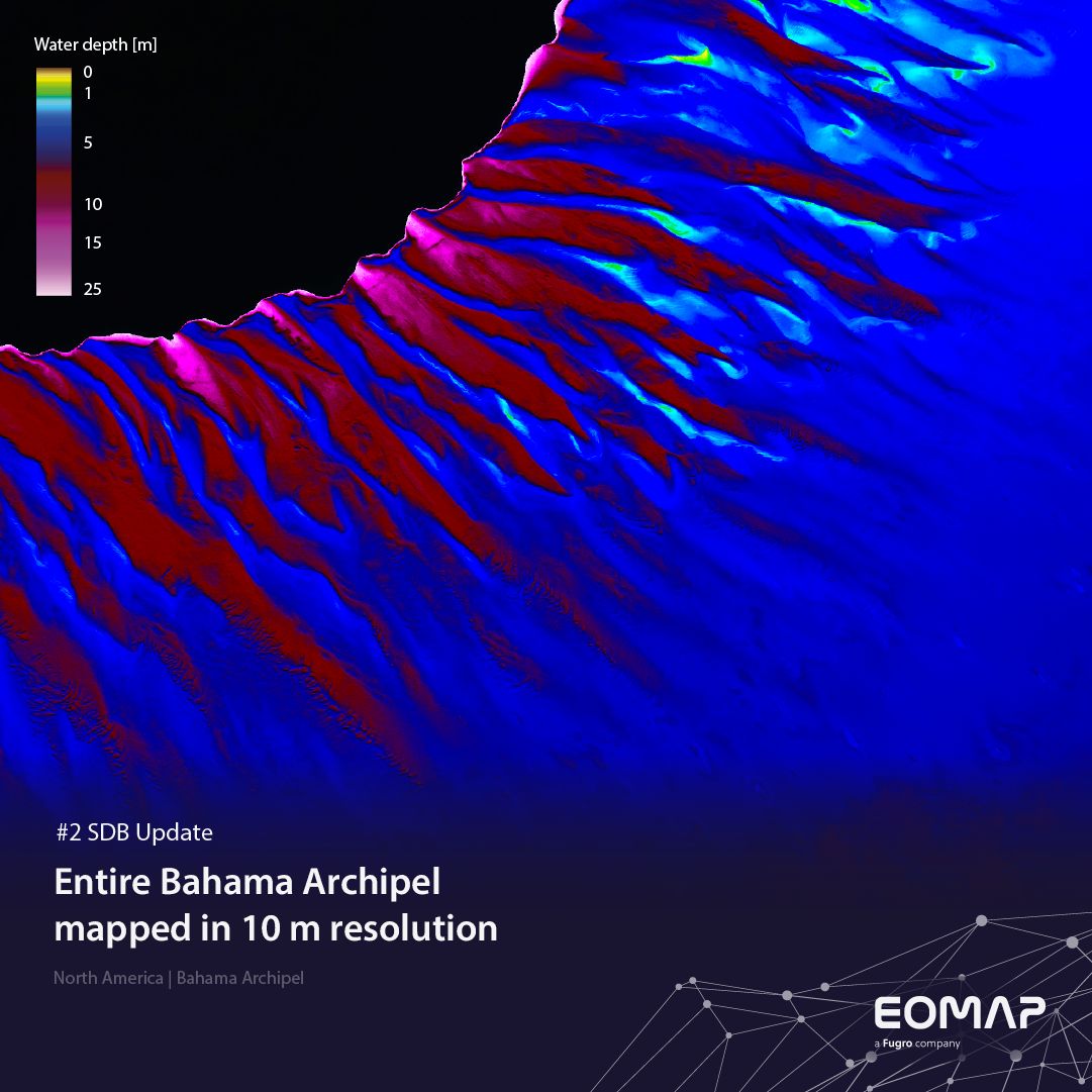
05 / 2025
SDB update #2 – The Bahamas mapped in 10 m
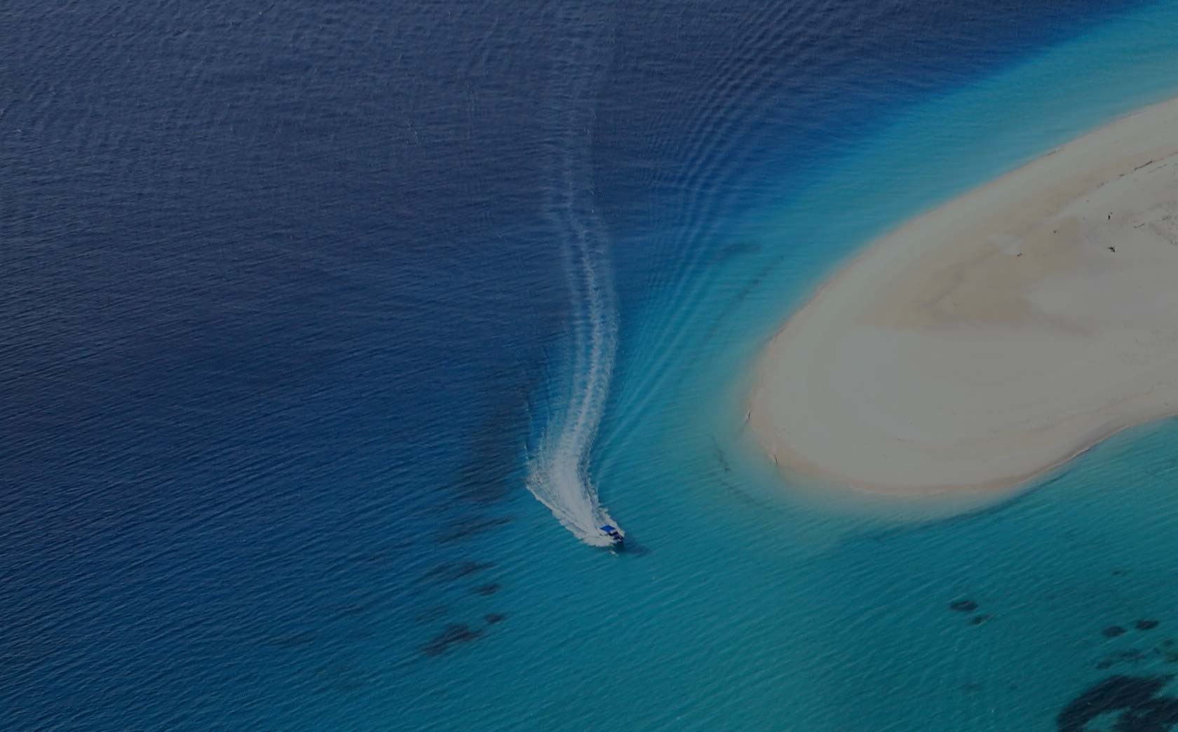
05 / 2025
SDB update #1 on Australia: All shallow waters mapped
03 / 2025
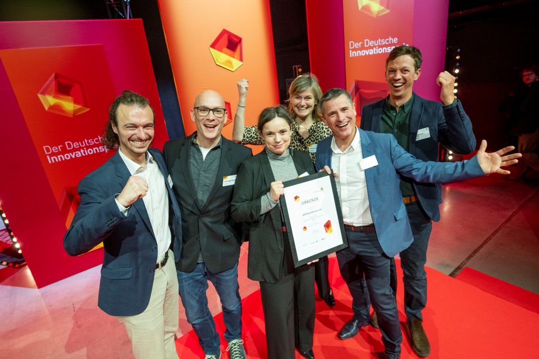
German Innovation Prize 2025 – EOMAP listed among top 3
03 / 2025
Deutscher Innovationspreis 2025 – EOMAP unter den top 3
12 / 2024


