What our clients say
Use cases


Seagrass Mapping in Italy
Since 2024, EOMAP has been part of an international consortium dedicated to mapping seagrass meadows along Italy’s entire coastline. This large European habitat mapping project is conducted […]
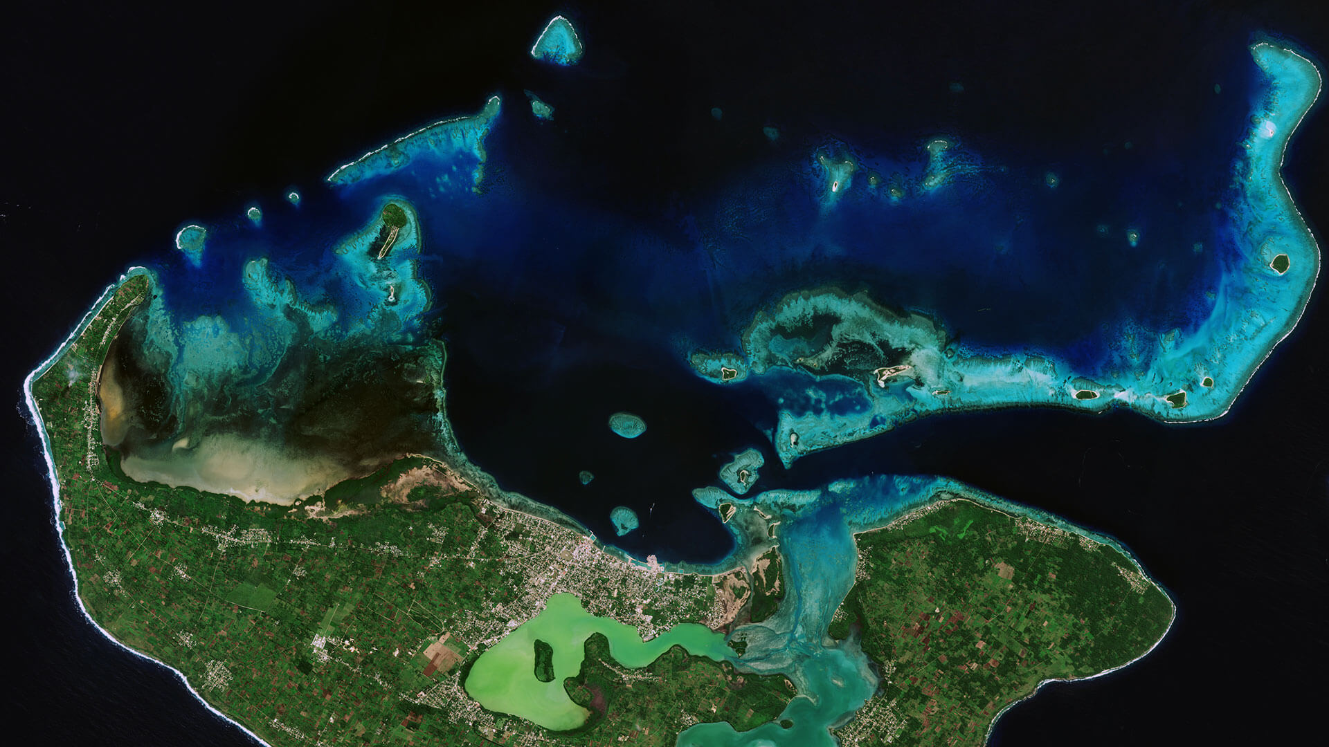
Archipelago of Tonga
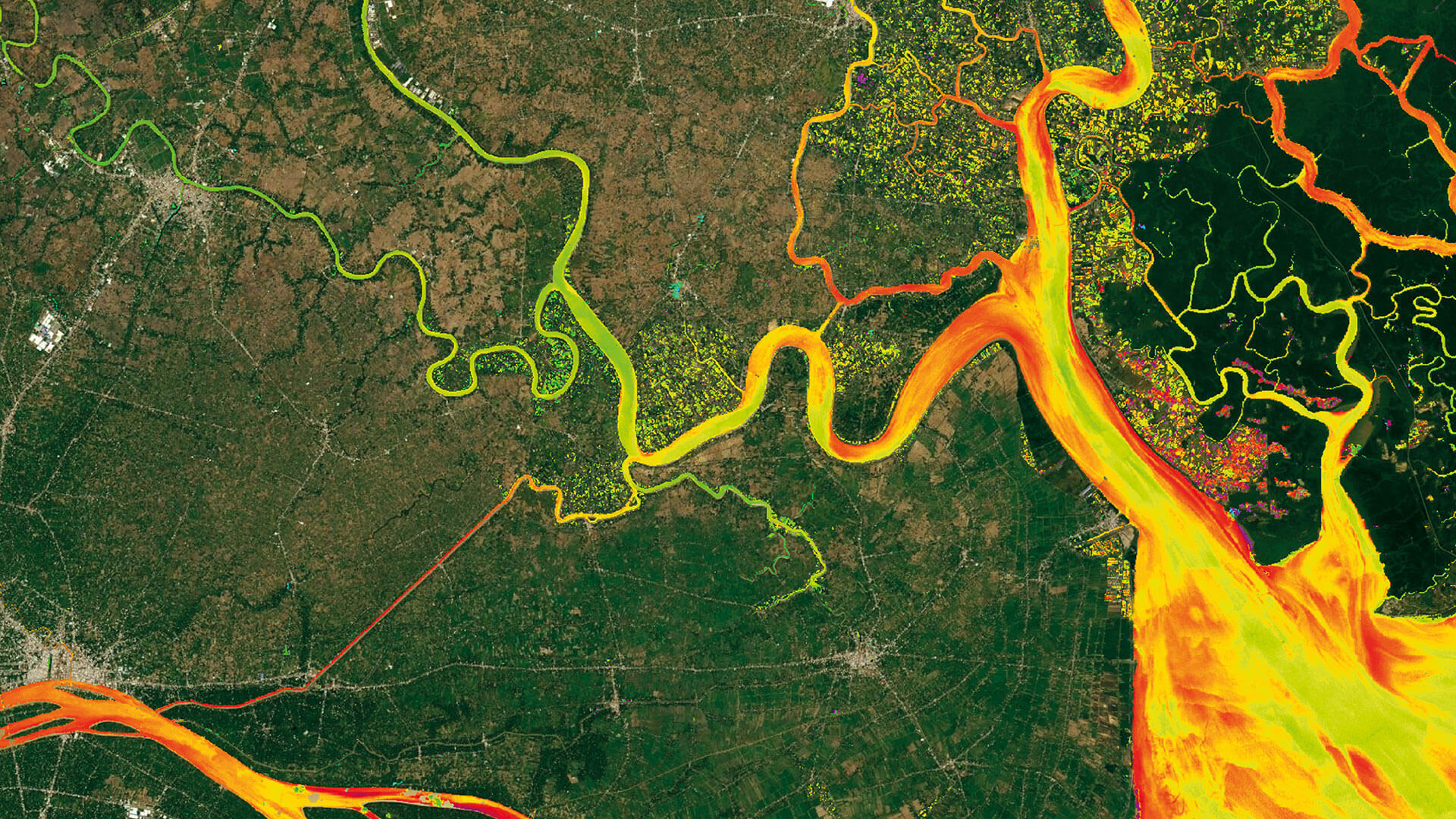
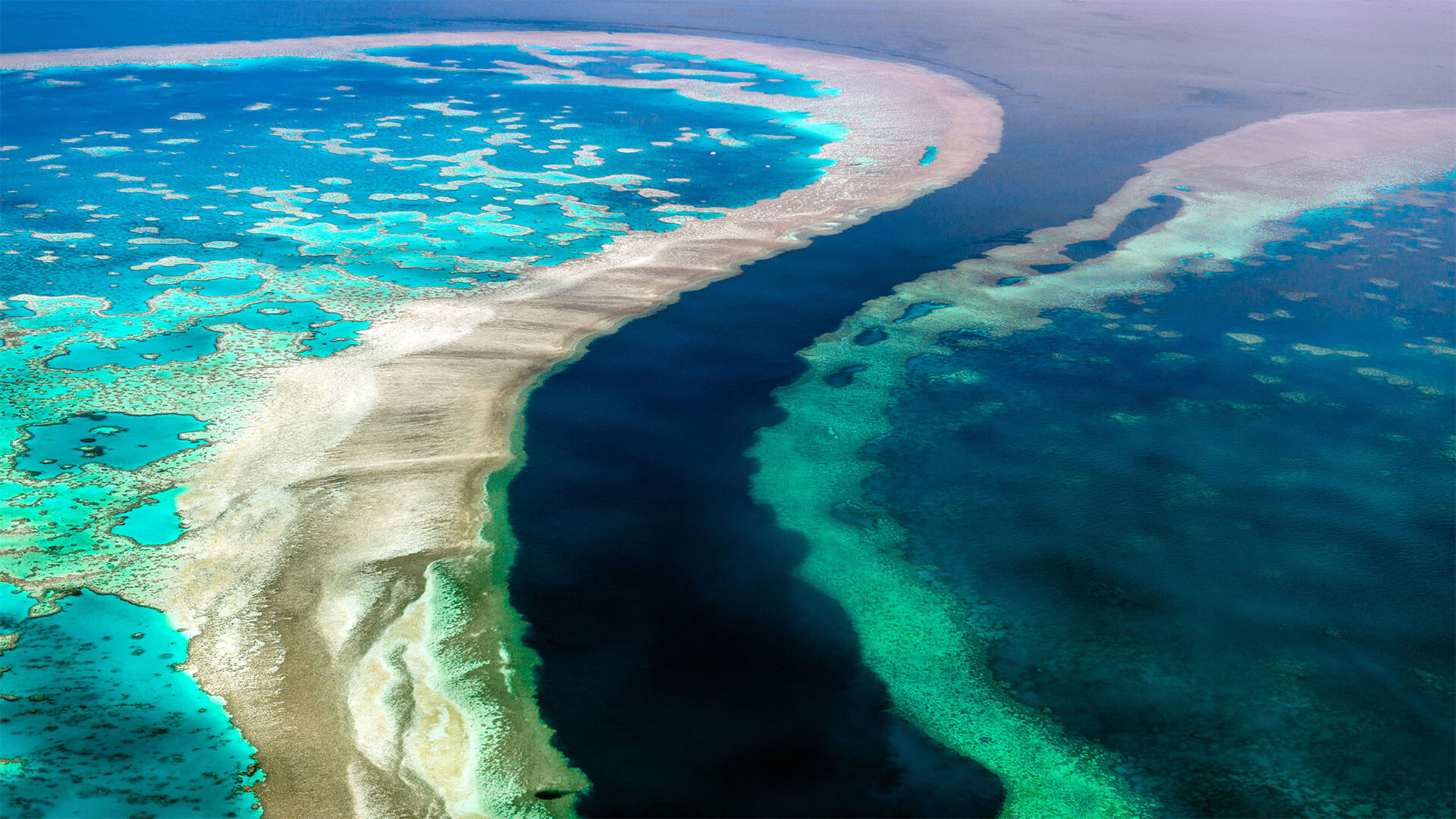
Very-High Resolution Satellite-Derived Bathymetry Survey
EOMAP Australia, together with project partner iXsurvey, have been contracted by Land Information New Zealand (LINZ) to map […]