Bathymetry
Water Quality
Digital Elevation Models
Seafloor Classification
Hydrology
Land Cover
Research & Innovation
EOMAP solutions can be a game changer for many aquatic stakeholders.
Satellite-based insights into shallow water depth, morphology and shoreline changes
Satellite-based information on key parameters and potential emerging dangers in water bodies
DSM and DTM, to be combined with SDB for coastal digital twins
Satellite-based information on benthic habitats
Space-based insights for monitoring entire catchment areas
Classification of different land use patterns from space
Teaming up to advance Earth Observation technology and solutions
Coastal Zone Management
Engineering and Surveying
Environment and Resources
Water Management
Hydrography and Navigation
Energy and Infrastructure
Aquaculture
Earth Observation can be a game changer for many aquatic stakeholders.
Earth Observation can be a game changer for coastal managers, engineers and ecologists.
Earth Observation can be a game changer for infrastructure managers, coastal engineers and surveyors.
Earth Observation can be a game changer for environmental assessment and reporting.
Earth Observation can be a game changer for monitoring, managing, or forecasting water resources.
Earth Observation can be a game changer for hydrographic and marine authorities.
Earth Observation can be a game changer for energy site assessments and operation.
Earth Observation can be a game changer for seaweed, shellfish and finfish farmers.
eoapp AQUA
eoapp SDB-ONLINE
eoapp HYPOS
eoapp AQUAFARM
WATCOR-X Software
Earth Observation and Environmental Service
The Web App for Water Quality information
The Web App for Satellite-Derived Bathymetry
Have a clear view on your hydropower project
The Web App for Seaweed, Shellfish and Finfish Farming
The Software for Satellite-Derived Bathymetry
Our Mission
Our History
Why we are different
Our Management
Why join EOMAP
EOMAP and the media
A team passionate for Earth Observation
Translating rocket science into real-world solutions
Advancing remote sensing technology for 20+ years
EOMAP’s work in a few numbers
How we drive value for our customers
Dedicated opinion leaders in Earth Observation
Describing good reasons and career options
Press releases, publications and images for journalists
Any questions?
News and interesting facts from EOMAP
03 / 2023
Am 29. März 2023 waren Verantwortliche/n in Wasser-, Gesundheits- und Tourismusbehörden zum Webinar geladen. In [...]
12 / 2022
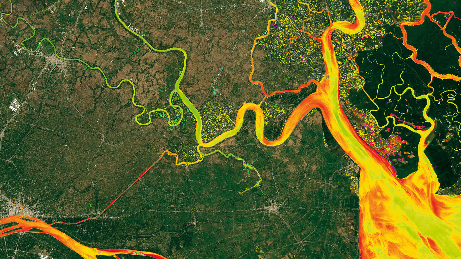
Reuters visualises the Mekong River's way down to the estuary in Viet Nam. In [...]
Marcel Siegmann - together with Eva Haas and Christoph Kleih - is getting ready [...]
11 / 2022
Die Jury des Innovationspreis Bayern war von SDB-Online - der neuen Web-App für satelliten-gestützte Bathymetrie [...]
The presentations and recordings of the Water Days are online now. [...]
09 / 2022
Pressemitteilung 1. September 2022 Algen gelten derzeit als eine der möglichen Ursachen für das [...]
08 / 2022
Press Release 31st August, 2022 Currently, algae are being considered as one of the [...]
Get connected with international experts on satellite-derived information on aquatic environments. Water Days '22 SDB [...]
HYPOS - an innovation project lead by EOMAP - has received the EARSC Partnership Award [...]
Stay up to date on Earth Observation solutions!