News and interesting facts from EOMAP
NEWS & EVENTS

03 / 2019
Dredging in the Maldives – How satellites can help
The Sentinel Benefits Study (SeBS) conducted by the European Association of Remote Sensing Companies (EARSC) has recently [...]

02 / 2019
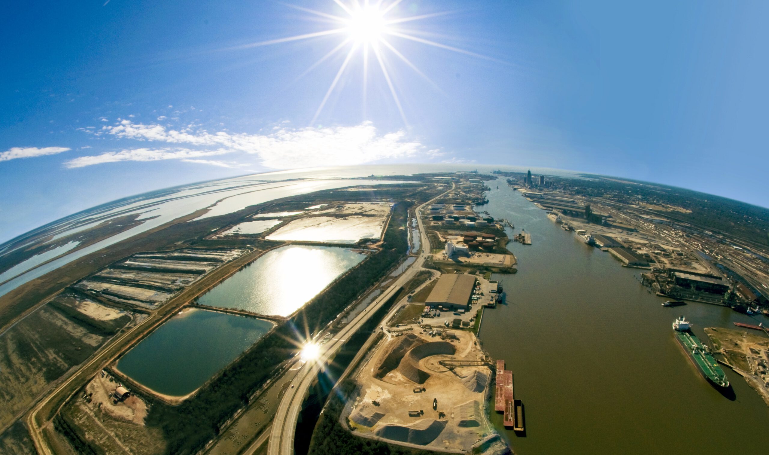
Lost in the Digital Data Jungle? New Concepts to help the Maritime Industry
An article by Dr. Thomas Heege, CEO at EOMAP GmbH & Co.KG Marine and coastal [...]

11 / 2018
Using Satellite Data for Flood Monitoring
EOMAP's satellite-based water quality monitoring shows the extent of the flooding event in the Adriatic [...]

11 / 2018
How satellite data support maritime boundary disputes
Coastline delineation and coastline dynamics When it comes to maritime boundary disputes between two States [...]

10 / 2018
Optimizing hydrographic survey campaigns with Satellite-Derived Bathymetry
Seefeld, October 2018, EOMAP, together with iXblue, have mapped Satellite-Derived Bathymetry (SDB) for the Tongan [...]

10 / 2018
Satellite-Based Water Quality Monitoring for Hydropower Development in Georgia
Seefeld, October 2018 EOMAP has provided satellite-based water quality monitoring for Georgia's river system to [...]
09 / 2018
Satellite Data Services for the Maritime Industry: Potential Value unlocked
Hamburg, September 2018 Following the success of last year’s workshop, MarSat, a corporate network of [...]

07 / 2018
Changing Perspectives on Water Quality Monitoring
Changing perspectives on water quality monitoring The rising number of pollutants entering our waterways are [...]

07 / 2018
Global Network for Satellite-Derived Bathymetry
Munich, 4 July 2018 - EOMAP has initiated the first international Satellite-Derived Bathymetry Day (SDB [...]
