The UK Hydrographic Office (UKHO) published its first nautical chart with EOMAP’s Satellite Derived Bathymetry in Oct. 2015: BA 2066 of Southern Antigua. Prior to this mapping a competitive evaluation of different SDB methods was performed by the UKHO in which EOMAPs data performed best. The BA 2066 chart and the mapping was presented at this years High Resolution Shallow Survey Conference.
Latest EOMAP News
Reuters bases Mekong article on EOMAP data
WATCOR‑X Bathymetry Software for Navies and Hydrographic Offices
Quick Facts: Ancient Lakes
Space-based Intelligence for Clean Energy
Bathymetry in the Gulf of Mexico
Pro-active hydropower management in winter
Related Posts

02 / 2026
WATCOR‑X Bathymetry Software for Navies and Hydrographic Offices
01 / 2026
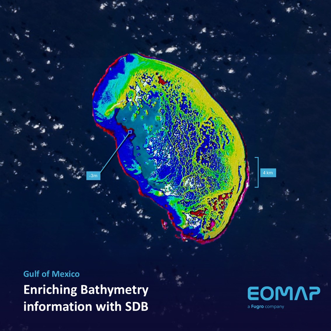
Bathymetry in the Gulf of Mexico

11 / 2025
Projektstart SEAGUARD
10 / 2025
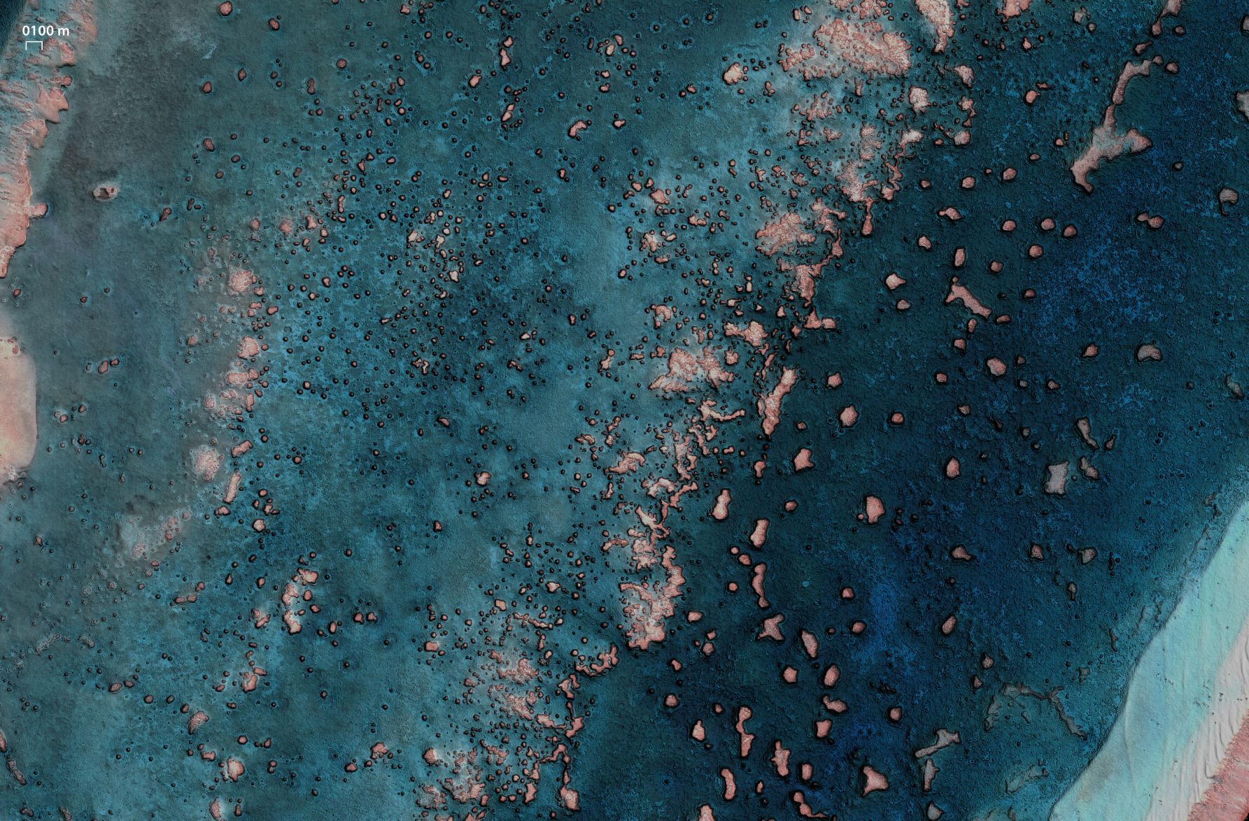
SDB Update #9 – Validation and Accuracy
10 / 2025
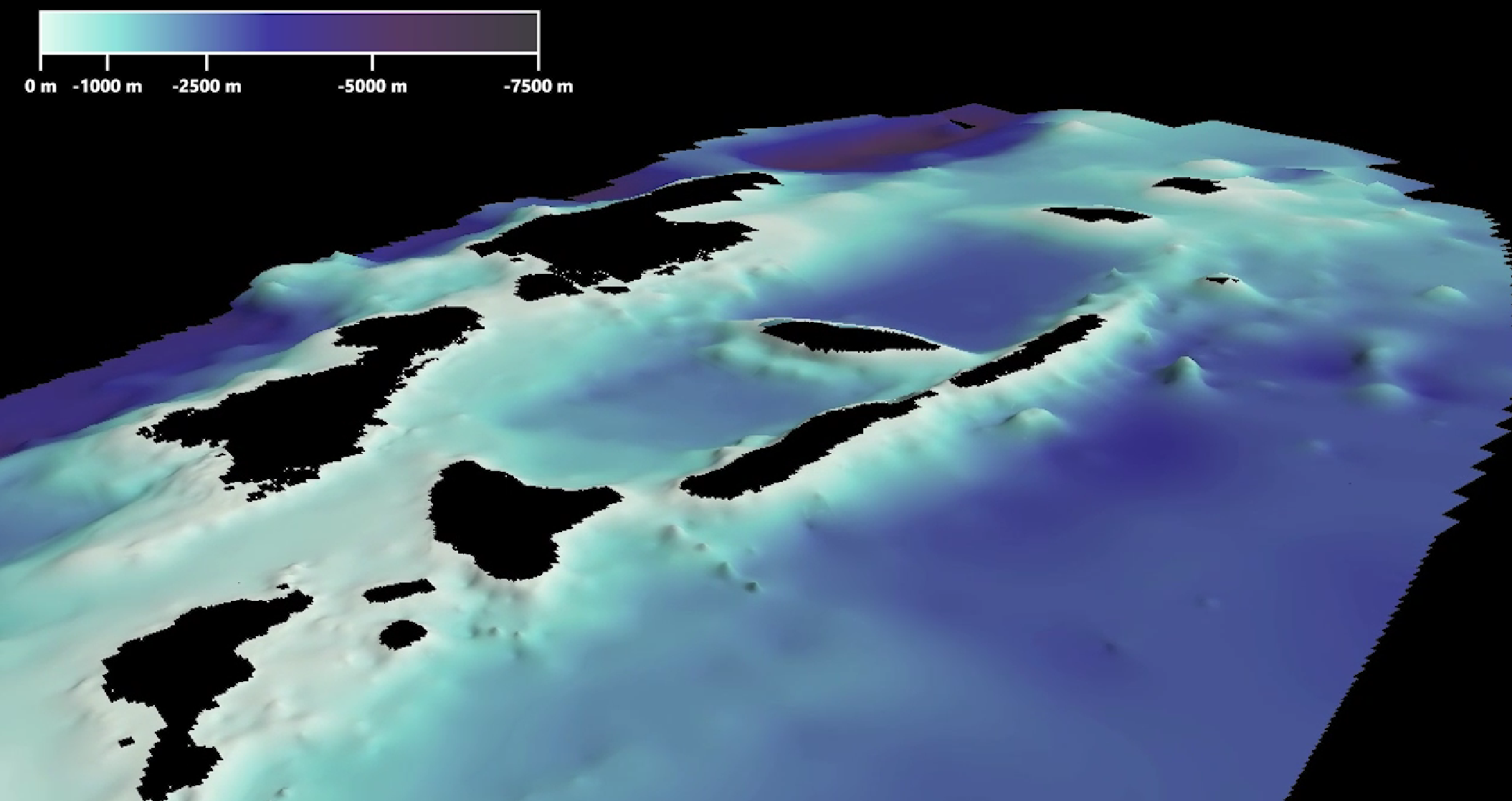
SDB Update #8 – Multisource Bathymetry
08 / 2025
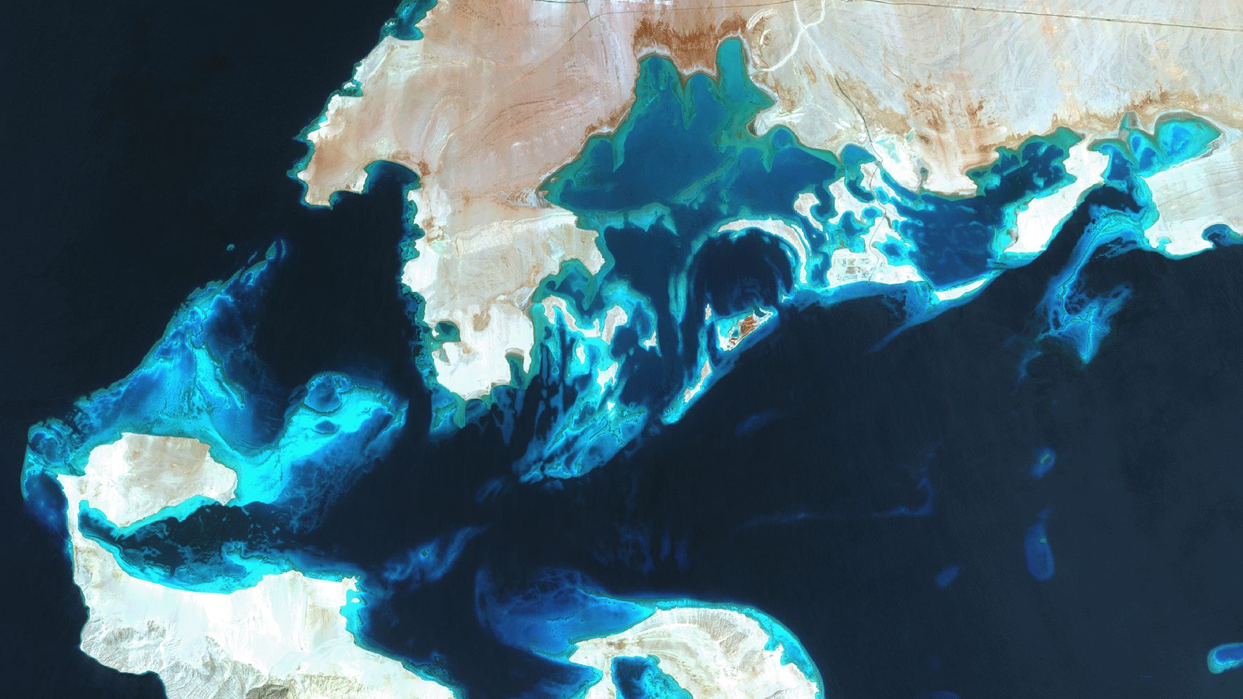
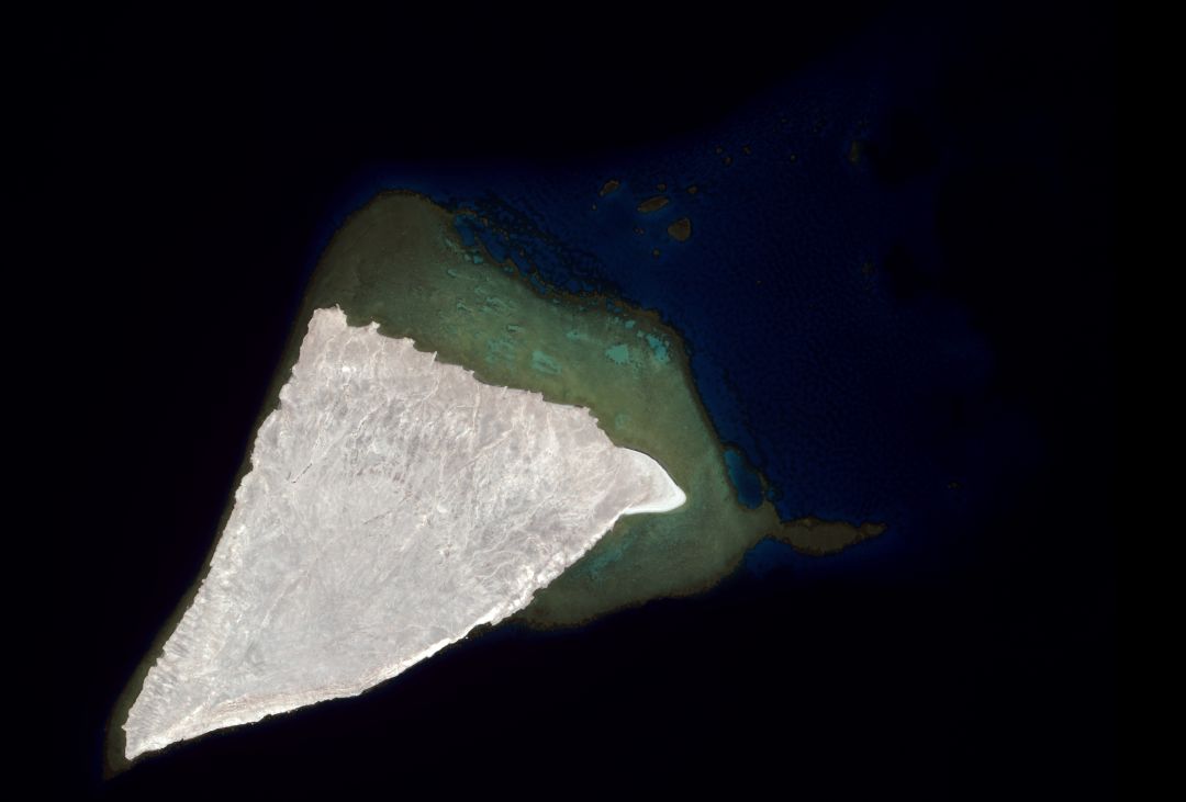
SDB Update #7 – Topobathy of the Red Sea
07 / 2025
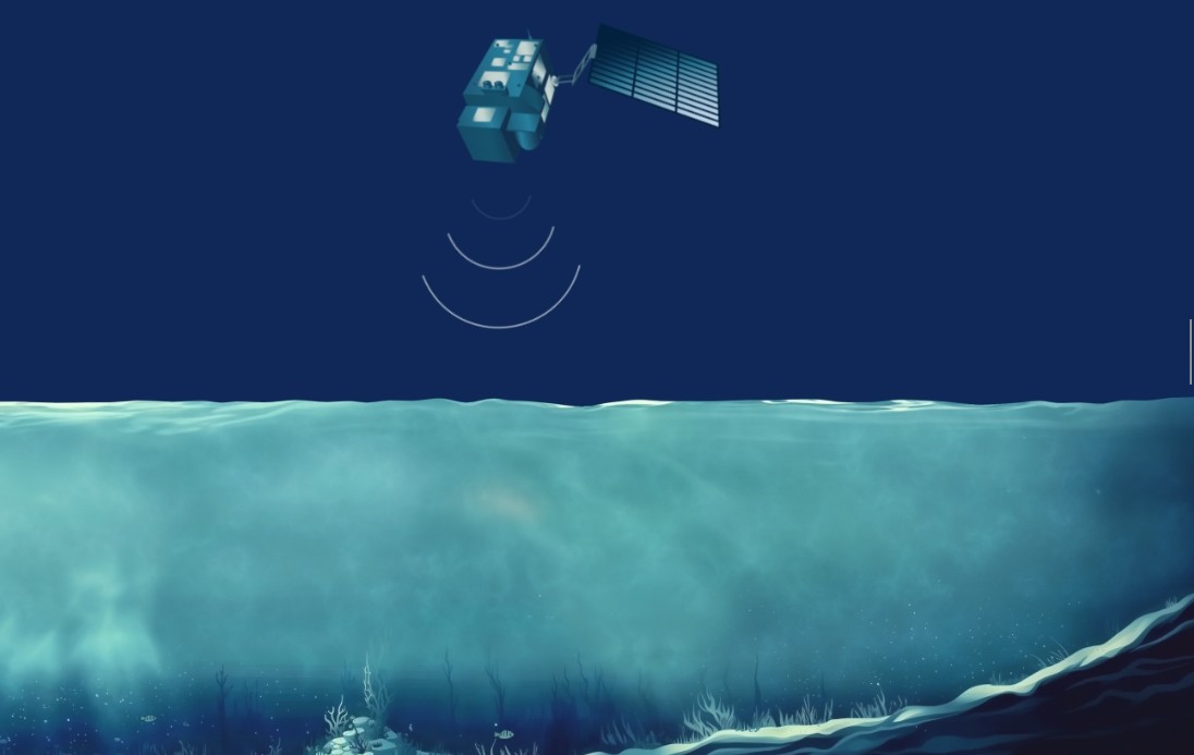
SDB Update #6 – Satellite-based Topobathy Models
07 / 2025
SDB Update #5 – Storymap on Satellite-Derived Bathymetry
06 / 2025
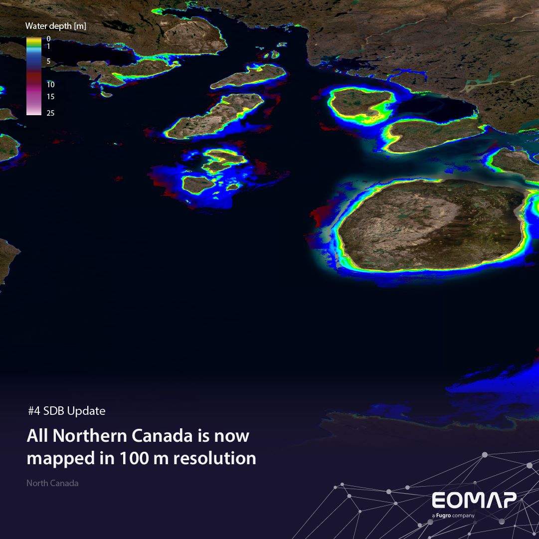
SDB Update #4 – Northern Canada’s shallow waters mapped in 100 m
06 / 2025


