Sediment Management from Space
HYPOS is a new toolbox for efficient sediment management in the hydropower industry. For offering a wholistic view on (hydropower and drinking water) reservoirs, the smart online solution combines satellite with modelling and in situ data. Within few mouse clicks, it allows to efficiently manage one of the key cost drivers in waterpower: sedimentation.
After the successful finalization of this EU co-funded project the commercial leaflet has now been launched. It includes
📍 an introduction to the HYPOS concept
📍 two factsheets for hydropower design and operation
📍 description of the key products of the tool, such as Chlorophyll a, turbidity, harmful algae blooms (HAB), or surface temperature.
📍 as well as an overview of the satellite sensors
📍 and the modelling data used.
From now on, HYPOS will be marketed by EOMAP’s water quality team. Please get in touch for a free trial account.
💡 Hydropower stakeholders benefit from satellite-based and hydrological information by significant information gain and decision support. The HYPOS toolbox is highly relevant for dam design and operation processes.
EOMAP has developed this multi-source online-solution together with its Consortium partners Gruner Stucky Ltd. (Switzerland), NTNU (Norway), SMHI (Sweden) and CNR (Italy).
More details:
Please read and learn more about the project here.
For a free trial account to HYPOS, please get in touch with the EOMAP Water Quality Team via Email
Stay tuned and follow EOMAP on Linked in
Latest EOMAP News
Reuters bases Mekong article on EOMAP data
Cyanobacteria on the rise – algal blooms in bathing waters
SDB Update #7 – Topobathy of the Red Sea
SDB Update #6 – Satellite-based Topobathy Models
SDB Update #5 – Storymap on Satellite-Derived Bathymetry
SDB Update #4 – Northern Canada’s shallow waters mapped in 100 m
Related Posts
08 / 2025
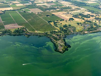
Cyanobacteria on the rise – algal blooms in bathing waters
05 / 2025
Planet contract: Supporting Germany’s water monitoring
03 / 2025
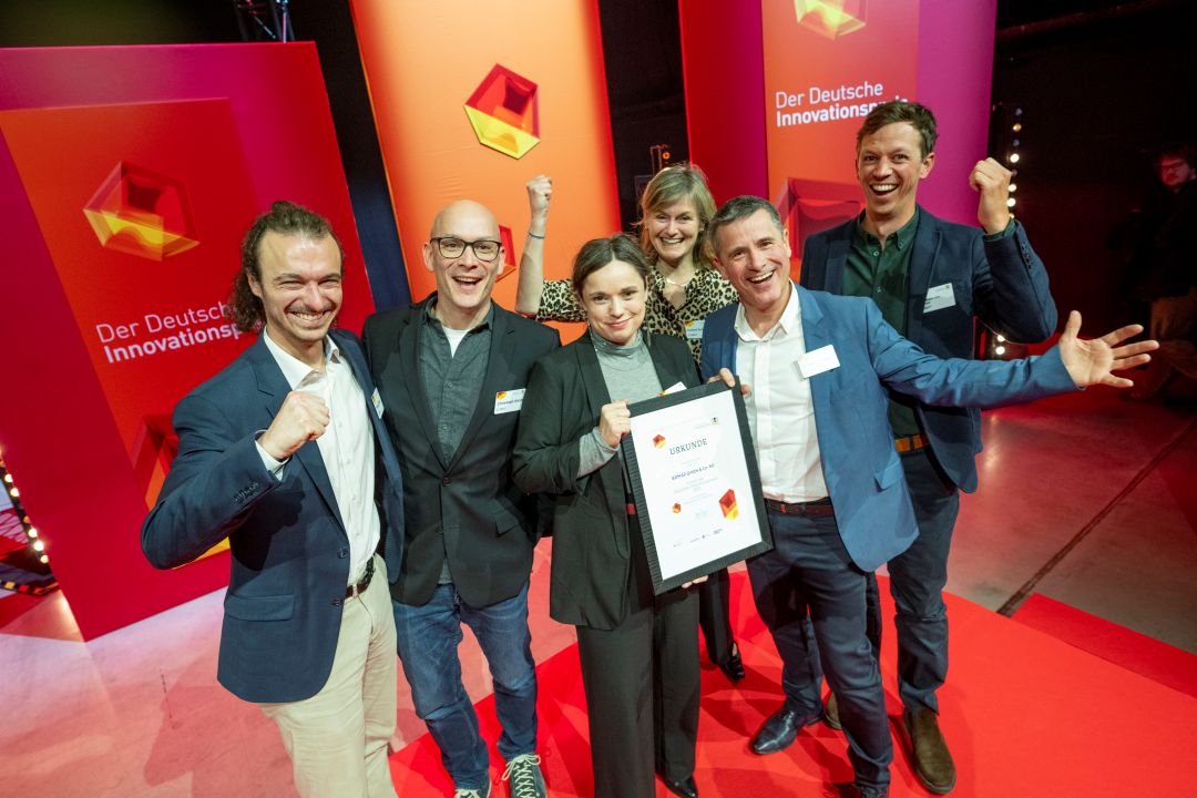
German Innovation Prize 2025 – EOMAP listed among top 3
03 / 2025
Deutscher Innovationspreis 2025 – EOMAP unter den top 3

02 / 2025
Fugro acquires EOMAP
02 / 2025
Fugro erwirbt EOMAP
01 / 2025
Update der eoapp AQUA
01 / 2025
eoapp AQUA updated

12 / 2024
A short recap of 2024

12 / 2024


