HYPOS – an innovation project lead by EOMAP – has received the EARSC Partnership Award 2022. At the BELvue Museum in Brussels the new portal for satellite-based sediment management was celebrated for the best partnership project of the year. The jury who selected HYPOS for the award involves 14 renowned earth observation experts involving industry, ESA, World Bank and the European Commission.
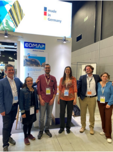
A happy HYPOS consortium at the HYDRO 22 – hydropower exhibition – in Strasbourg.
In the HYPOS project, EOMAP leads an international consortium and closely cooperates with partners from CNR (Italy), NTNU (Norway) and SMHI (Sweden) and Gruner-Stucky (Switzerland).
Sedimentation ranges among the top problems in reservoir management. Using smart tools hydropower managers and dam designers can easily access key hydrological and water parameters. High-resolution satellite analytics are combined with auxiliary data – such as modelling and in-situ data. HYPOS offers access to all reservoirs or river catchments in the world.
Thus, the new toolbox for hydropower planners and managers is considered as a gateway to more efficient sediment management. All in all, the portal is designed to streamline planning, management and monitoring routines – while ensuring sustainable decision-making of hydropower stakeholders.
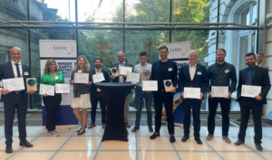
The Ceremony in Brussels BELvue Museum, where HYPOS received the award.
Read more about HYPOS here.
And here is more information about the EARSC awards.

Latest EOMAP News

Reuters bases Mekong article on EOMAP data

Cyanobacteria on the rise – algal blooms in bathing waters

SDB Update #7 – Topobathy of the Red Sea

SDB Update #6 – Satellite-based Topobathy Models

SDB Update #5 – Storymap on Satellite-Derived Bathymetry

SDB Update #4 – Northern Canada’s shallow waters mapped in 100 m
Related Posts

08 / 2025
Cyanobacteria on the rise – algal blooms in bathing waters

05 / 2025
Planet contract: Supporting Germany’s water monitoring

03 / 2025
German Innovation Prize 2025 – EOMAP listed among top 3

03 / 2025
Deutscher Innovationspreis 2025 – EOMAP unter den top 3
01 / 2025
Update der eoapp AQUA

01 / 2025
eoapp AQUA updated

12 / 2024
COASTS – Projekt für widerstandsfähigere Küsten-Ökosysteme gestartet

12 / 2024
COASTS project launched to enhance coastal resilience and blue carbon ecosystems

10 / 2024
Hydrography project in Canada

09 / 2024
