
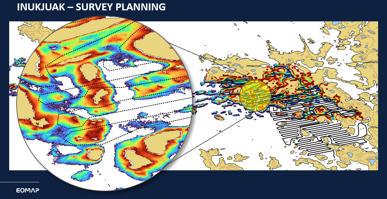
The Canadian Hydrographic Conference (CHC) took place from 27 – 30 May 2024 in St. John’s, Newfoundland. During the “Satellite-Derived Bathymetry Session 2” there Edward Albada of EOMAP presented a fascinating bathymetry project in Quebec:
In 2023, EOMAP cooperated in community-led bathymetric surveys and helped generate Satellite-Derived Bathymetry (SDB) for Canadian coastal waters. The community team used eoapp SDB-Online for improving and de-risking their survey planning along the shallow waters of their coast. It helped the Canadian team to create a community map within only 18 days.
The project by the Canadian Hydrographic Service (CHS) is part of Canada’s Oceans Protection Plan, and empowers coastal communities to gather and utilize bathymetric data. Most of the communities involved lacked detailed bathymetric data on the waters at their doorstep. Now, the community of Inukjuak has a helpful community map at hand, bringing more safety to their daily navigation.
SDB-Online, a new web app by EOMAP enables non-expert users to create bathymetric charts within mouse clicks.
More Details
See page 6 of this PDF on the community-led project by CHS I Fisheries and Oceans Canada.
Or read the article in the “International Hydrographic Review IHR” about the project.
Contact
For further questions, please get in touch with Edward Albada or our coastal team.
Latest EOMAP News

Reuters bases Mekong article on EOMAP data
The Development of EOMAP’s Water Quality Platform

UNESCO Water Quality Portal launched

Launching the world’s first comprehensive global water quality atlas with UNESCO

Oman Oil Spill: SDB Mapping of Critical Shallow Waters for Safe Salvage

eoapp DIVE unterstützt die Tauchplanung
Related Posts
08 / 2026
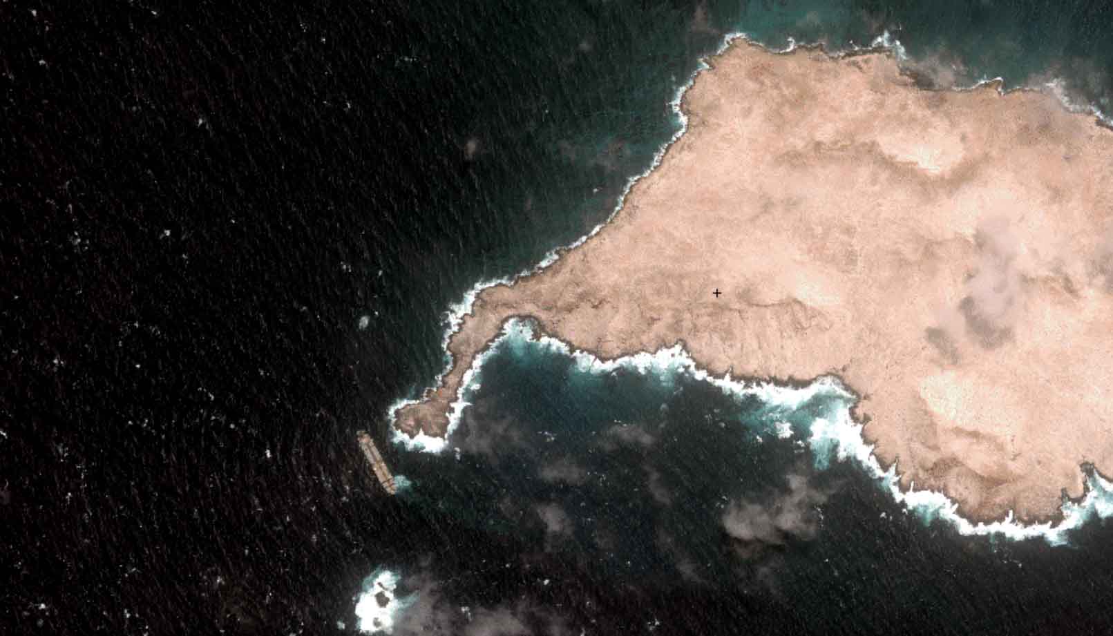
Oman Oil Spill: SDB Mapping of Critical Shallow Waters for Safe Salvage

08 / 2026
eoapp DIVE unterstützt die Tauchplanung

07 / 2026
UKHO’s highest-ranked Satellite-Derived Bathymetry provider

06 / 2026
Mapping the ‘unmappable’ Great Barrier Reef
05 / 2026
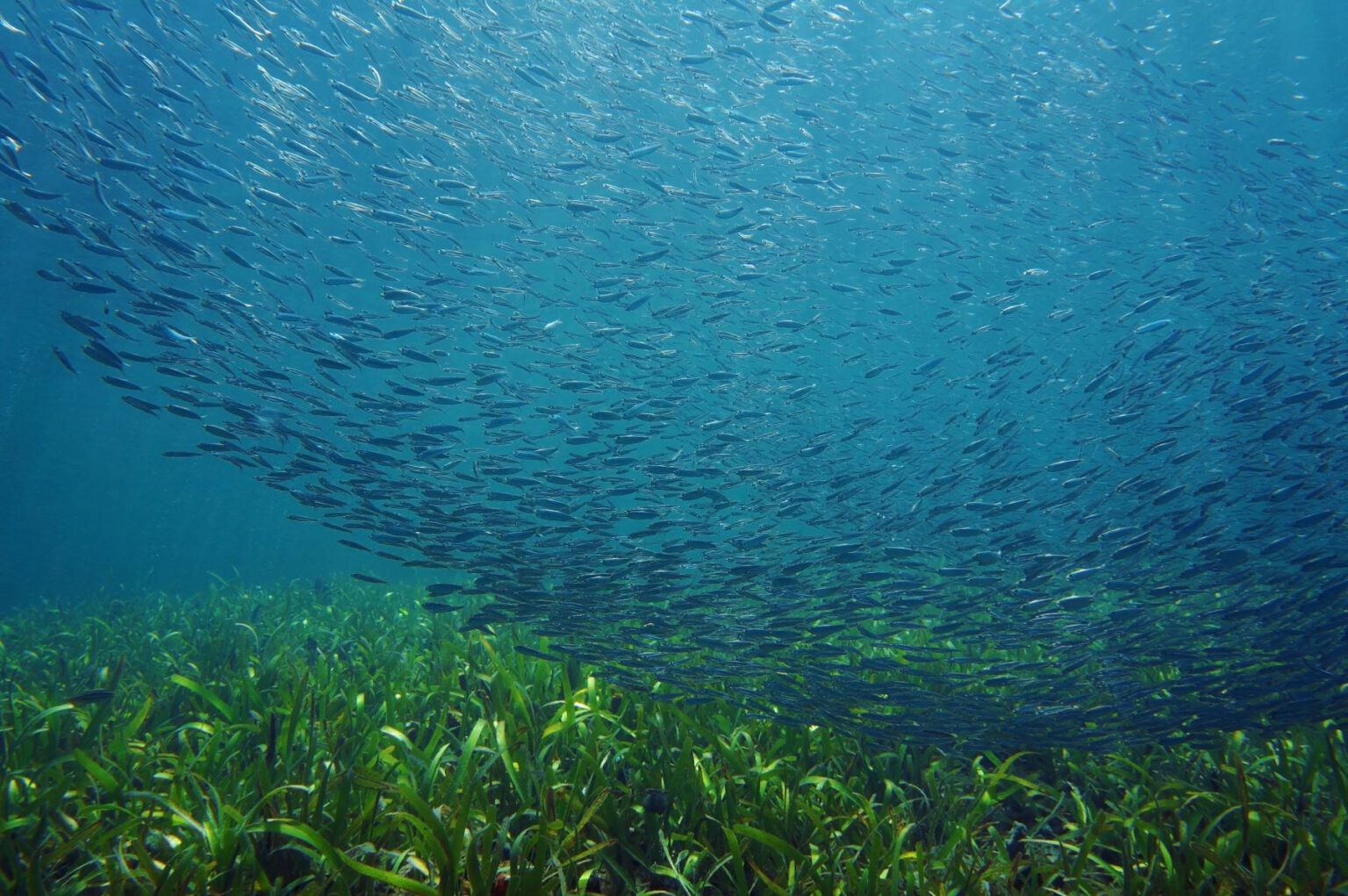
Pioneering seagrass mapping at the Italian coastline in 2006

04 / 2026
Ningaloo Reef 2009: Hyperspectral Marine Habitat Mapping
04 / 2026
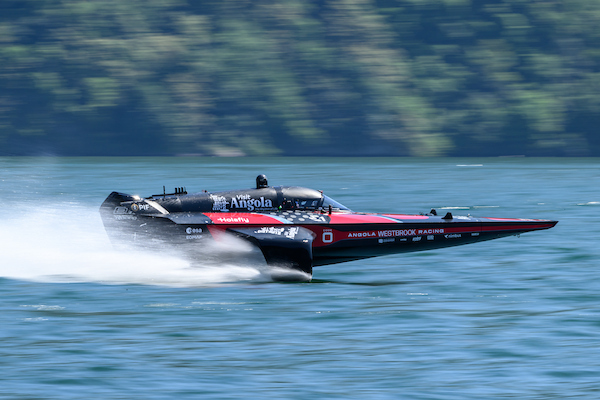
Environmental monitoring for sporting events

04 / 2026
20 Years EOMAP: Advancing Earth Observation

02 / 2026
WATCOR‑X Bathymetry Software for Navies and Hydrographic Offices
01 / 2026

