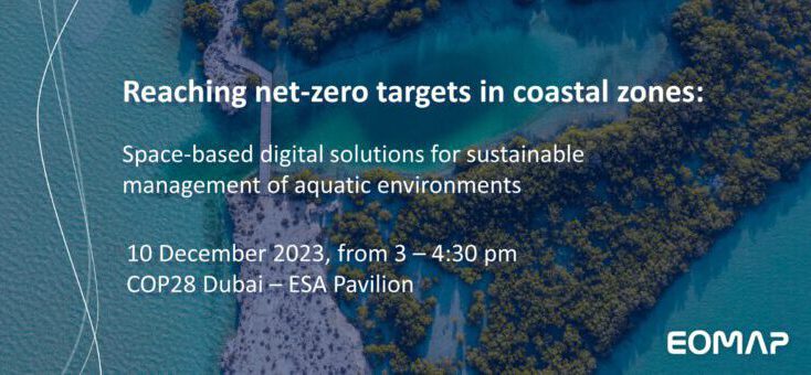
How satellite-based knowledge benefits coastal zones
This topic was at the centre of our event at COP28 in Dubai. In 90 minutes Rahul Sidharth, EOMAP’s Director for the Middle East, walked the audience through high-level video statements from partners, and addressed challenges and space-based solutions for coastal zone management. These included ESA-funded projects related to climate change and coastal resilience, such as the award-winning “Eyes on Plastic” app or the Global Development Assistance (GDA) AID Marine and Water Resources programmes.
Why coastal zones matter
Coastal areas – locating three quarters of world’s bit cities – are not only highly attractive for living and critical infrastructure. Their shallow waters also host natural habitats, such as mangroves or seagrass meadows. These, in turn, are crucial for coastal resilience and protection, but also for biodiversity. Moreover, these ecosystems serve as significant carbon storage: According to IUCN, coastal ecosystems store up to ten times more CO₂ per equivalent area than forests . Therefore, coastal zones play a key role for both climate change adaptation and mitigation measures. Yet, the coasts’ high importance stands in contrast to our lack of knowledge about them.
How space-based solutions help
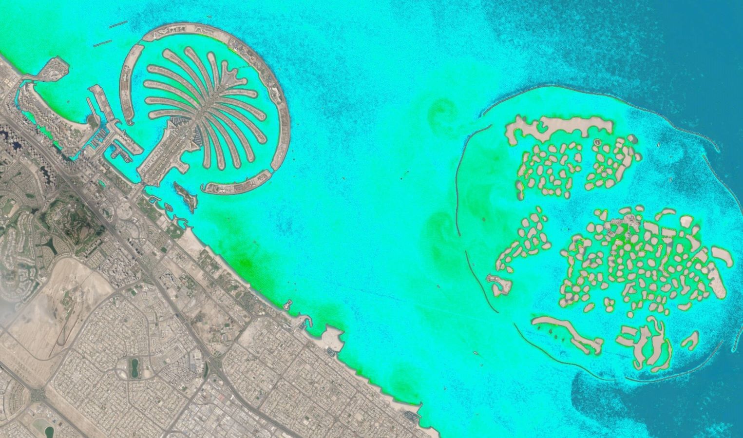
Earth Observation (EO) solutions – part of ESA’s GDA Marine activity – enable a spatio-temporal assessment of “blue carbon” assets. Stocktaking of ecosystems services is widely considered mandatory for establishing baselines, nature-based solutions or restoration plans, but also for tracking impact of trends or aligning with policy regulations. EO can, for example, help map coastal waters and recovery of natural habitats after natural hazards, such as hurricanes, classify seafloor or quantify habitat loss as well as carbon storage capacity. In addition, satellite data can reveal coastal erosion or help better manage drinking water by monitoring and early warning systems.
Experts from NGO, Hydrography, Space Industry and Research
These Experts from across the globe have enriched the event with video statements. (Please find their statements below the text).
- Gwen Coat, Scientific Head of The SeaCleaners on fighting plastic pollution
- Dr Mathias Jonas, Secretary General of the International Hydrographic Organization (IHO) on their role in the UN Ocean Decade and why ocean and coastal mapping particularly matter in times of climate change
- Robbie Schingler, Co-founder of Planet, on the value of high-resolution satellite data for coastal management
- Oliver Zielinski, Director of the Leibniz-Institute for Baltic Research, on plastic mapping and multi-source approaches for digital twins of coastal environments.
Latest EOMAP News

Reuters bases Mekong article on EOMAP data

Cyanobacteria on the rise – algal blooms in bathing waters

SDB Update #7 – Topobathy of the Red Sea

SDB Update #6 – Satellite-based Topobathy Models

SDB Update #5 – Storymap on Satellite-Derived Bathymetry

SDB Update #4 – Northern Canada’s shallow waters mapped in 100 m
Related Posts

08 / 2025
Cyanobacteria on the rise – algal blooms in bathing waters

08 / 2025
SDB Update #7 – Topobathy of the Red Sea

07 / 2025
SDB Update #6 – Satellite-based Topobathy Models

07 / 2025
SDB Update #5 – Storymap on Satellite-Derived Bathymetry

06 / 2025
SDB Update #4 – Northern Canada’s shallow waters mapped in 100 m

06 / 2025
SDB Update #3 – The Maldives’ shallow waters mapped in 100 m

05 / 2025
SDB update #2 – The Bahamas mapped in 10 m

05 / 2025
Planet contract: Supporting Germany’s water monitoring

05 / 2025
SDB update #1 on Australia: All shallow waters mapped

03 / 2025
