Solutions for our planet
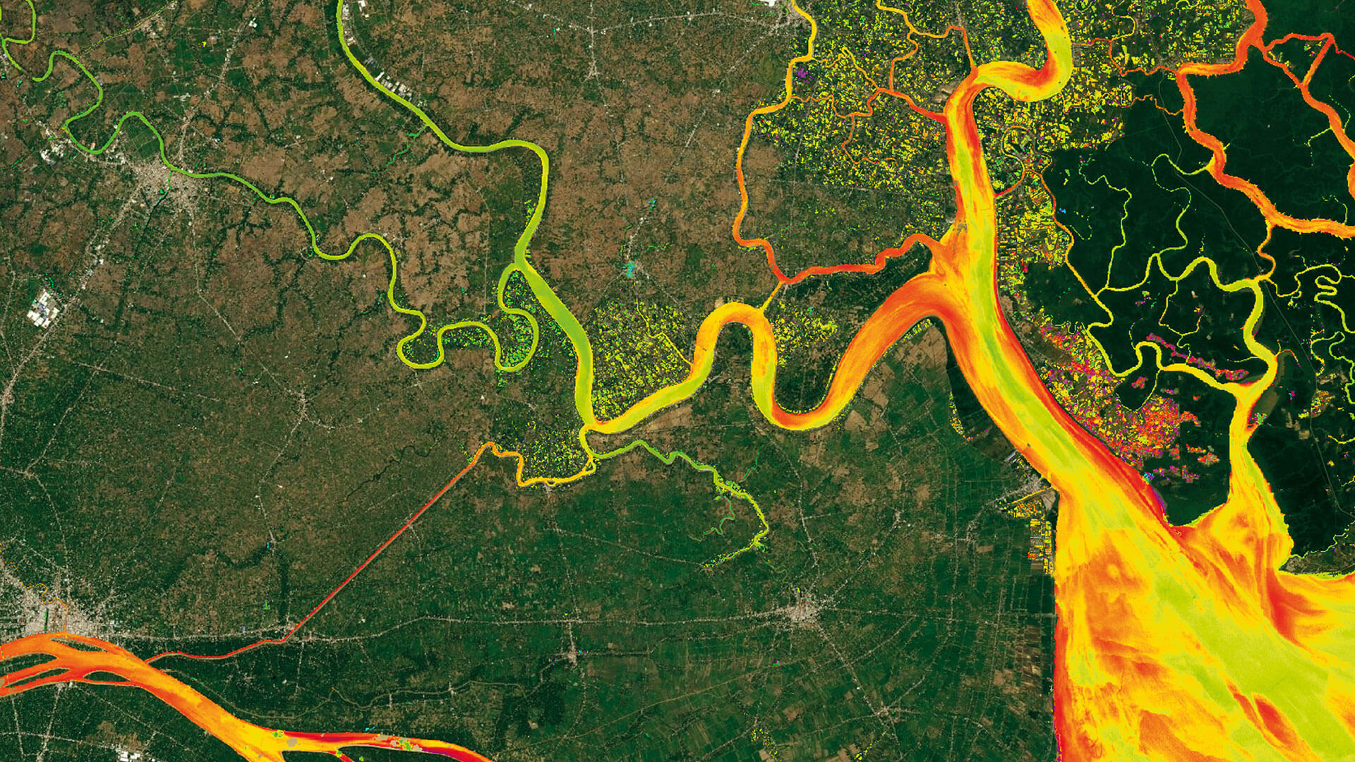
CLIMATE CHANGE
Global warming is a huge challenge for all of us. With satellite-based insights, we pave the way for climate action.Committed to the UN’s 1.5°C target, we empower decision-makers with in-depth environmental knowledge.
Clients rely on our earth observation expertise for climate change adaptation and mitigation.
BIODIVERSITY
Many habitats and species are at risk. Our mission is to support those who value, preserve and restore nature.Governments, researchers and nature protection agencies build on the actionable insights we provide.
This aids them in assessing, conserving, and restoring natural habitats.
SECURITY
Safety and security are crucial in today's world. We strive to empower those who strengthen and protect both.Stakeholders in security and infrastructure trust in us. Through our services, they can evaluate and optimise security frameworks or build resilient infrastructure.
Earth observation insights also allow our partners to predict threats and implement proactive measures.
Celebrating 20 Years of EOMAP
It’s already been 20 years that we started providing environmental intelligence!
Learn about the milestones of this journey and join the celebrations by leaving your congrats. Together, let’s create a collection of stories, wishes and memories following our birthday motto: Two decades. One planet. Countless insights.
Use cases


Advice4COASTS
Advice4COASTS is a service platform for coastal decision makers. It simplifies the monitoring of coastal environments, supports efficient measurement campaigns and strengthens reporting capacities.
Packed in a smart […]


Seagrass Mapping in Italy
Since 2024, EOMAP has been part of an international consortium dedicated to mapping seagrass meadows along Italy’s entire coastline. This large European habitat mapping project is conducted […]


Facts and figures
|
|
|
