Mission possible
Who are we?
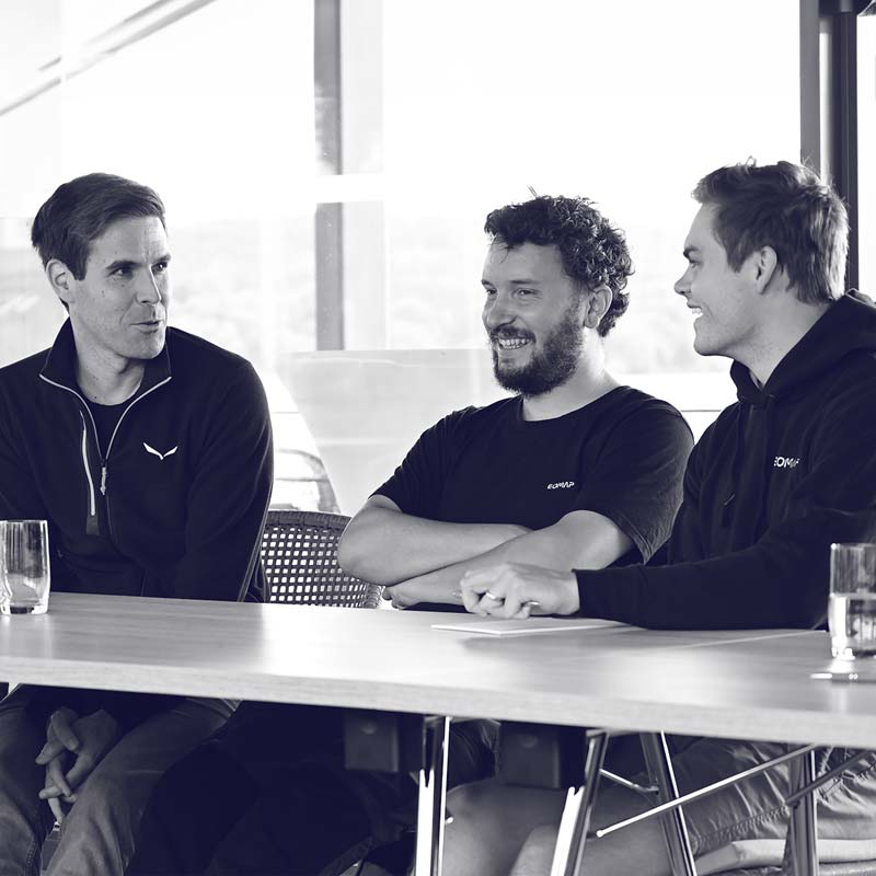
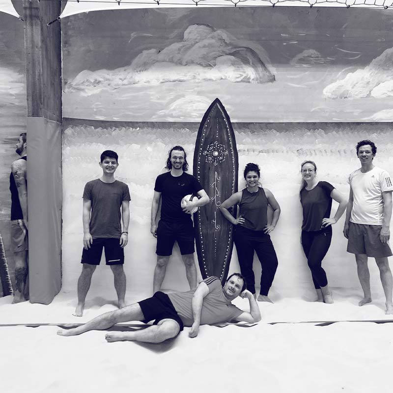
A multi-disciplinary team, passionate about Earth Observation technology and ecosystemsOur team of 60 includes geographers, software engineers, physicists, geo-ecologists, creatives and business developers. With origins in 10+ countries, we cultivate an open-minded and collaborative working style.
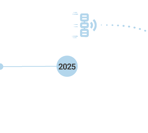
Since early 2025, we’re part of Fugro.
Our mission
Empowering partners worldwide to better understand and manage aquatic environmentsFor us, sustainably managing ecosystems is both an environmental imperative and a strategic economic asset. We strive to bridge the gap between space-based research and business solutions.
What we do
We turn satellite data into actionable decision-support: data services, software and appsAn ever increasing fleet of satellites is providing terrabytes of “big data” on our planet. We make this data accessible by turning it into user-oriented solutions for key markets.
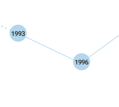
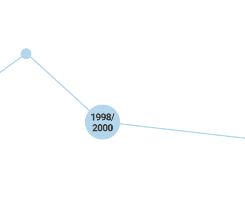
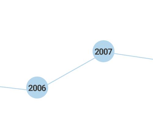
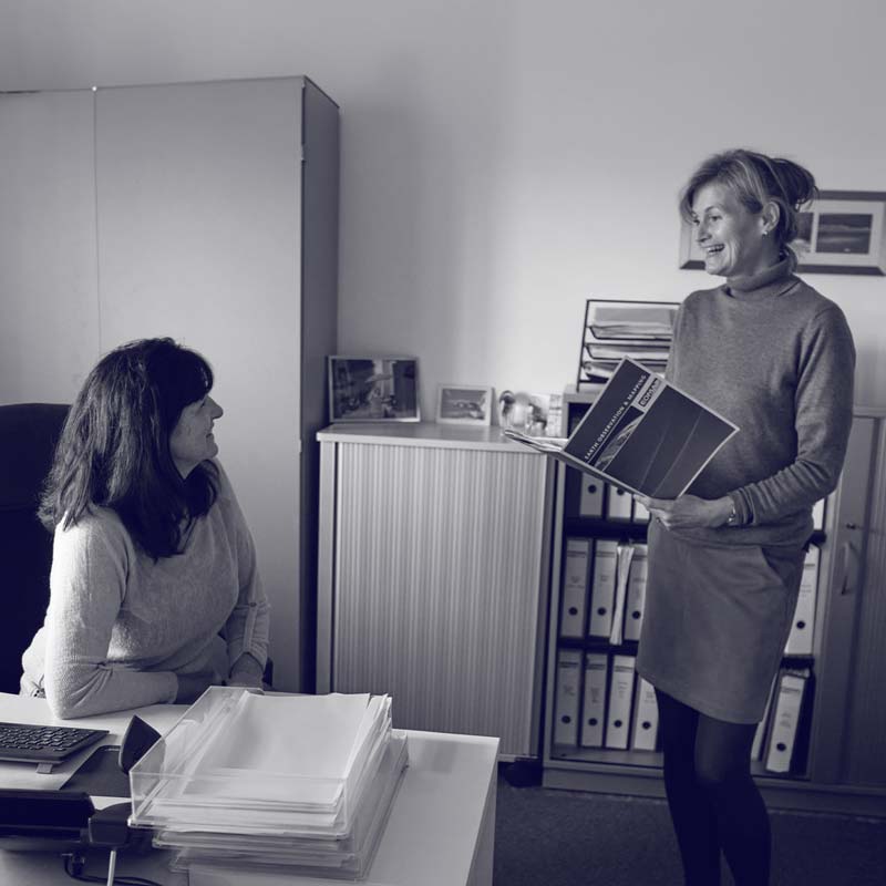
History of EOMAP


What drives us?
Creating Value for our Customers
Solution Providers
Best-in-class technology
Team Players
Nature Lovers
Pixel nerds
Our Management
Our team is striving to bridge the gap between Earth Observation science and business needs. Talk to us and challenge our solution-driven instinct.

Physicist Thomas founded EOMAP and keeps pioneering Earth Observation solutions since the 1990s.
Dr. Thomas Heege
General Director

Karin creates geodata-driven services to answer global challenges with tailored solutions.
Karin Schenk
EO Service Line Manager

Knut's passion and profession are to solve clients' pain points with geo-insights and EO services.
Dr. Knut Hartmann
EO Service Line Manager
