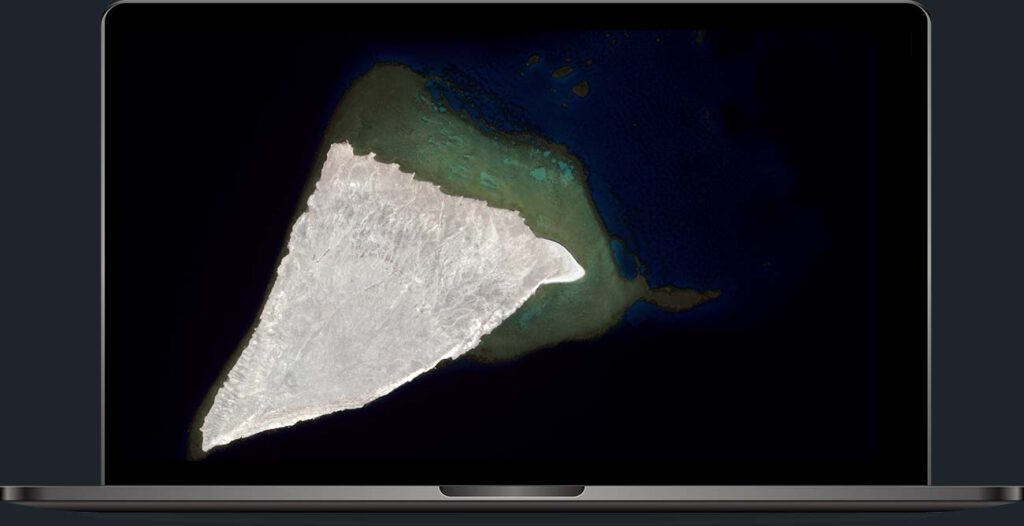
How your DTM could look
Digital Terrain or Surface Models by EOMAP enable rapid, high-resolution mapping of coastal areas worldwide. Thanks to our satellite technology, there is no need for on-site surveys.
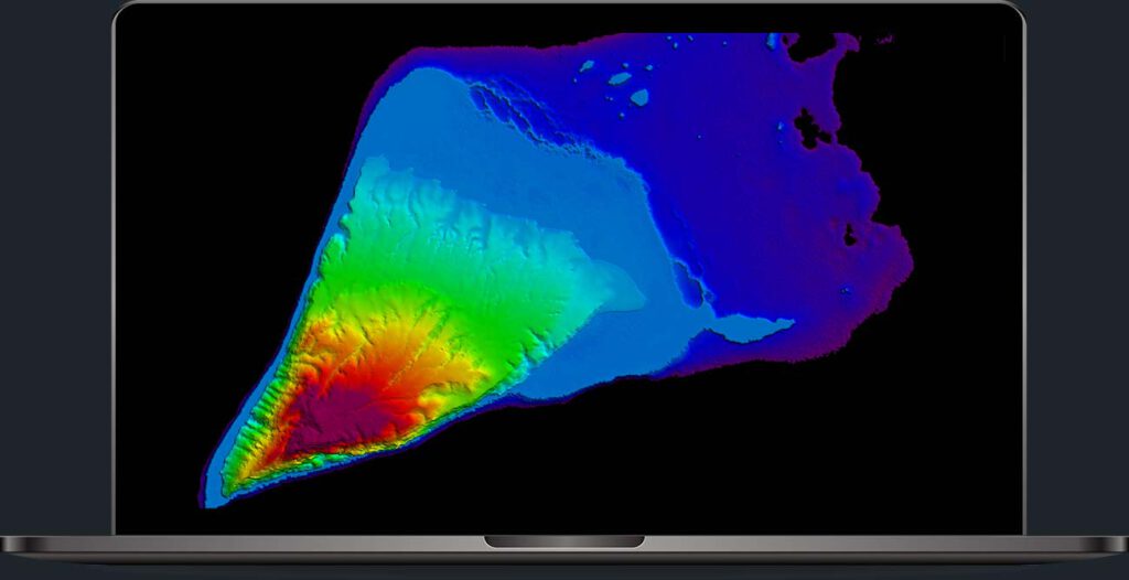
How we create coastal zones in 3D
Our Digital Surface and Terrain Models are built on precise elevation data and advanced algorithms. A robust processing workflow eliminates distortions from vegetation, buildings, and other surface features. – Leverage our DSM/DTM to achieve unparalleled accuracy for your geospatial needs!
Why choose EOMAP’s DSM / DTM?
Time savings
Eliminate the need for extensive on-site surveys, accelerating project timelines and reducing labor costs.
Efficiency
With EOMAP, you will access the most current spatial data, ensuring your decisions are based on the latest information.
Remote access
Obtain detailed data from inaccessible locations. This allows for thorough analysis without stepping foot on the ground.
Full coverage
Versatile applications
Utilise DSM/DTM data for various applications, from urban planning to disaster management. This versatility will help improve your overall project efficiency.

