Munich, 4 July 2018 – EOMAP has initiated the first international Satellite-Derived Bathymetry Day (SDB Day) to start up a global network and interested community of practice in Satellite-Derived Bathymetry (SDB).
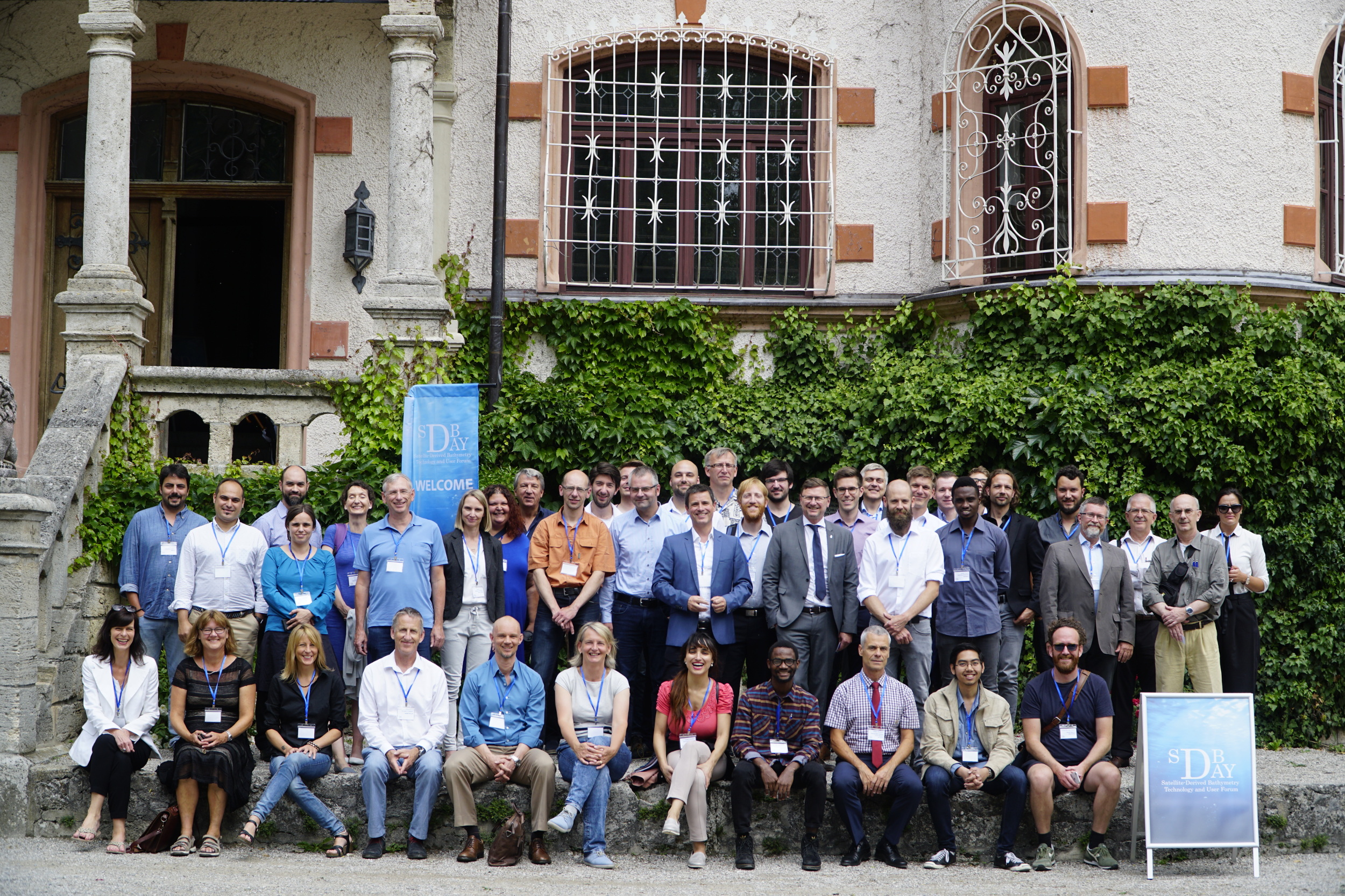
For the first time all relevant players – hydrographical offices, marine industry, service providers and research institutes – came together on 6&7 June 2018 to anticipate what was to come for the Satellite-Derived Bathymetry (SDB) technology in the next years and revealed future opportunities for providers and users.
SDB has been in the research and development domain since the early 1980’s, where commercial applications were first seen in 2005. Key to the development of SDB has been the 1) development of sensor- and location – independent physics-based methods, 2) streamlining of processing workflows and 3)tracking and understanding of accuracies and uncertainties. A milestone of SDB uptake by the wider community occurred in 2015, whne the United Kingdom Hydrographic Office incorporated EOMAP SDB in Admiralty Chart BA2066.
SDB for hydrographic purposes is used to map water column depth using optical satellite sensors and specific algorithms. The method relies on satellite sensors in space which record the reflected sunlight intensity at different wavelengths. These reflectance intensities vary – amongst other important factors – with water depth. This allows the calculation of water depths from satellite imagery.
Hydrographic information is of vital importance for providing key input to climate change adaptation, sustainable resource usage , and navigation.
To learn more about this initiative, please got to https://sdbday.org/
A new date for the SDB Day in 2019 will be announced shortly.

By loading the video, you agree to YouTube’s privacy policy.
Learn more
To download the conference material and to see any further updates, please go to https://sdbday.org/