ABOUT THE PROJECT
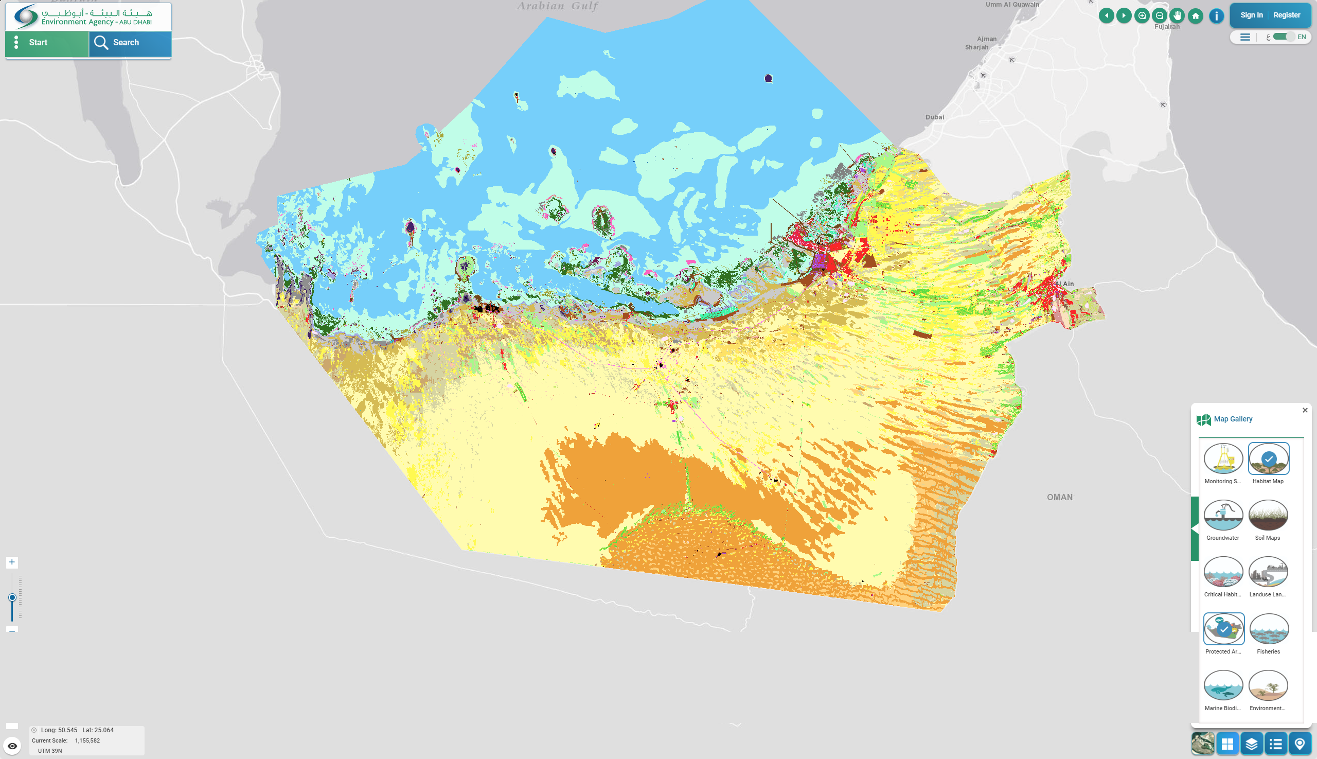
The Environment Agency Abu Dhabi (EAD) is responsible for facilitating sustainable development, raising environmental awareness and addressing environmental issues. In 2013 EAD began a multi-year programme to create fine-scale maps of land use, land cover and habitat for the entire Emirate of Abu Dhabi. The objective was to provide baseline data layers to support informed decision-making for better preservation of the natural heritage. EAD contracted the project to a consortium of companies to develop the maps from high resolution satellite imagery. EOMAP provided seafloor habitat information for approximately 30,000 km² of Abu Dhabi waters. Prior to this programme a complete, high resolution seafloor composition data set was not available for this area.
Our mapping service for the Environmental Agency Abu Dhabi can be accessed through their online portal. Please navigate to /map gallery/habitat map.
MEDIA
SUMMARY
Environmental Agency Abu Dhabi (EAD)
Habitat Mapping
Habitat Mapping, Seafloor, Abu Dhabi, Persian Gulf
LINKS