Introduction
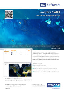
EOMAP’s eoLytics SWIFT stands for our web application that provides you with a Shallow Water Image Finder Tool. The application automatically returns a ranking of satellite imagery regarding their feasibility for seafloor or bathymetric analyses. As such, it can be linked to your internal aquatic remote sensing workflows or assist during the satellite data selection process for any of our Satellite-Derived Bathymetry software and web application solutions.
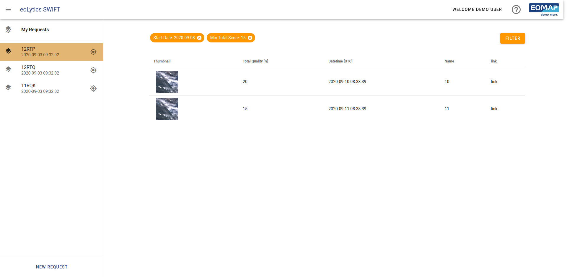
eoLytics SWIFT investigates several key parameters to evaluate satellite data for its suitability for SDB analyses. It combines artificial intelligence (AI) image recognition methods and metadata information of the satellites data. Within only a few minutes you will be provided with the best-choice image for your area of interest, avoiding negative impacts from clouds, sunglint or turbidity.
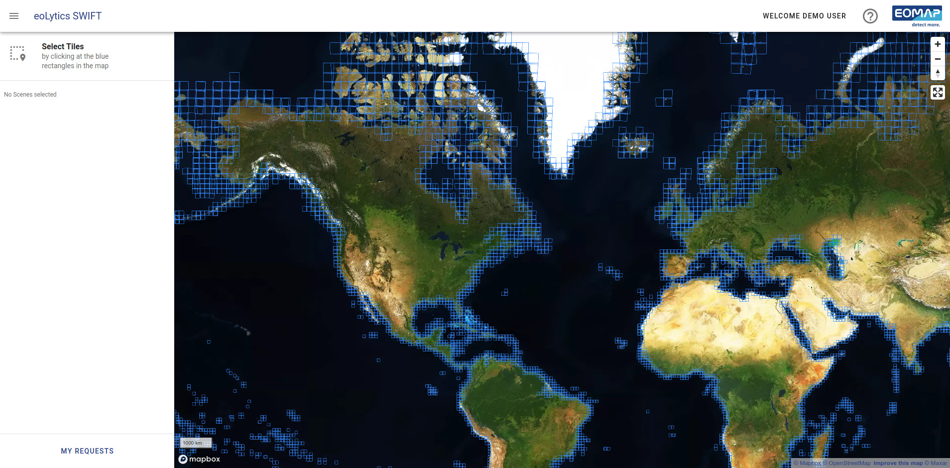
eoLytics SWIFT is a very easy ‘one button’ software, you only have to define your area.
Further Reading and Links
Advantages at a glance
- Use any browser on any device. No dependencies on hard- or software.
- Makes your live much easier by listing the best satellite data available for your area of interest.
- Very easy to use and results are accessible in only a few minutes
Request a Demo
Interested? Please contact us to purchase a license or request an online demo.