
Satellite Derived Bathymetry nowadays contributes to safety of navigation in manyfold coastal regions of Indonesia. At the 2020 online SDB Day webinar we will showcase and discuss the current status of SDB in practice and state-of-the art technologies, with distinguished contributions from Pushidrosal Indonesia, ITC and EOMAP.
YouTube Streaming: https://www.youtube.com/watch?v=6o79uKANBPQ
Registration: https://bit.ly/sdbpushidrosal26

Latest EOMAP News

Reuters bases Mekong article on EOMAP data
The Development of EOMAP’s Water Quality Platform

UNESCO Water Quality Portal launched

Launching the world’s first comprehensive global water quality atlas with UNESCO

Oman Oil Spill: SDB Mapping of Critical Shallow Waters for Safe Salvage

eoapp DIVE unterstützt die Tauchplanung
Related Posts
08 / 2026
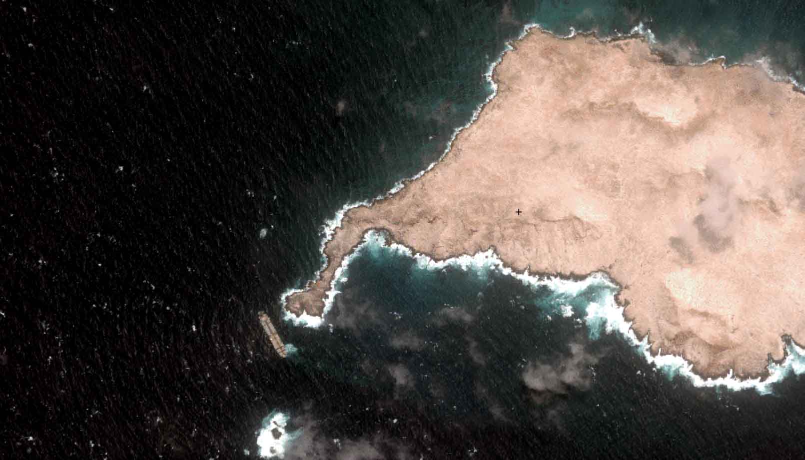
Oman Oil Spill: SDB Mapping of Critical Shallow Waters for Safe Salvage

07 / 2026
UKHO’s highest-ranked Satellite-Derived Bathymetry provider

06 / 2026
Mapping the ‘unmappable’ Great Barrier Reef
05 / 2026
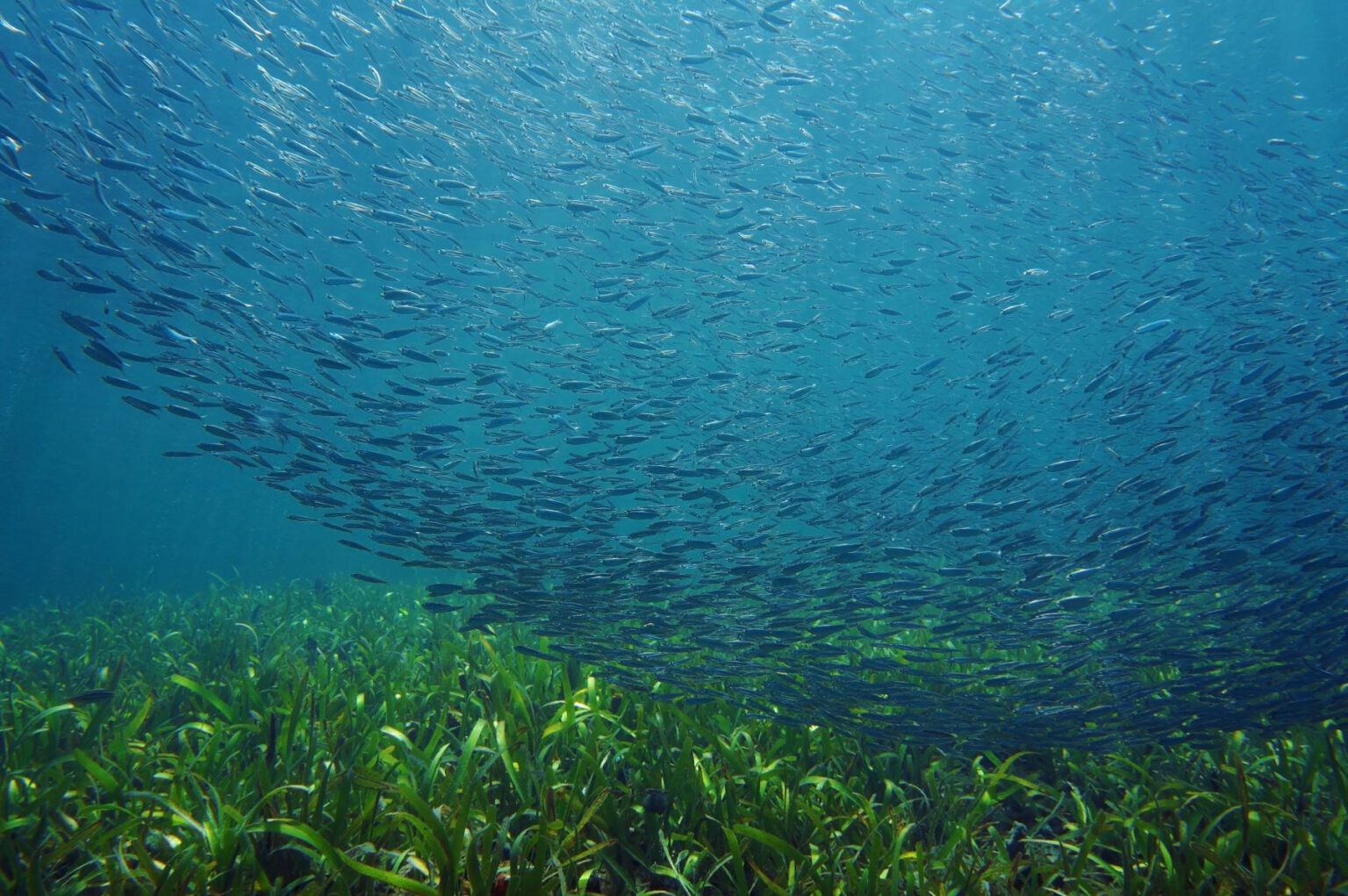
Pioneering seagrass mapping at the Italian coastline in 2006

04 / 2026
Ningaloo Reef 2009: Hyperspectral Marine Habitat Mapping
04 / 2026
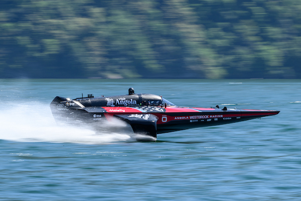
Environmental monitoring for sporting events

04 / 2026
20 Years EOMAP: Advancing Earth Observation

02 / 2026
WATCOR‑X Bathymetry Software for Navies and Hydrographic Offices
01 / 2026
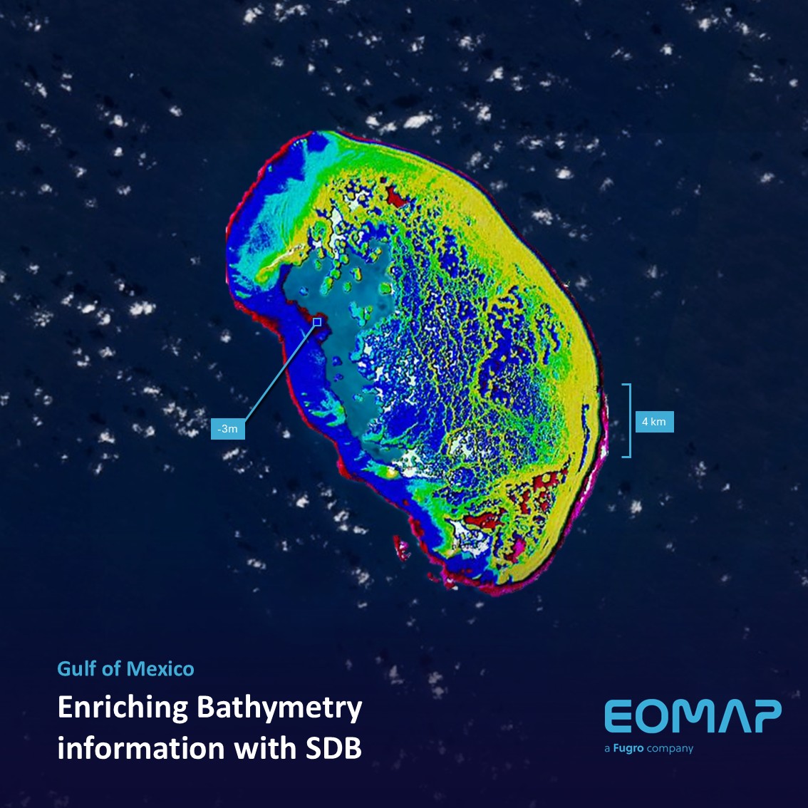
Bathymetry in the Gulf of Mexico

12 / 2025

