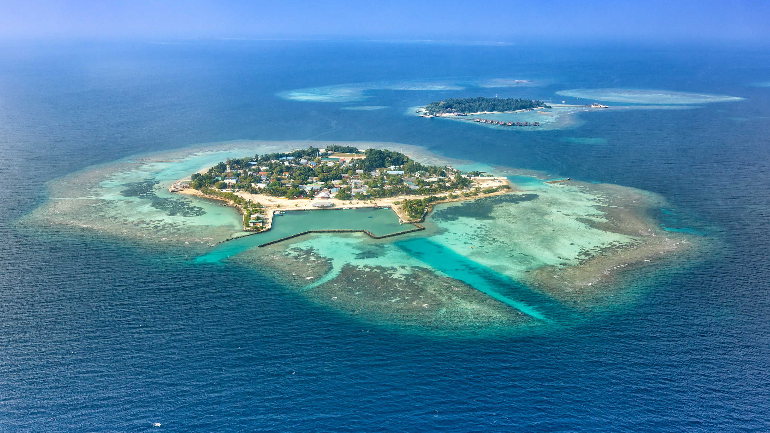
The Sentinel Benefits Study (SeBS) conducted by the European Association of Remote Sensing Companies (EARSC) has recently published a new showcase article on EOMAP’s Satellite-Derived Bathymetry (SDB) services applied to the area of the atolls of the Maldives. Vast areas of the atolls a protected environment, however there is an almost constant need for either dredging of the navigable channels or the depositing of sand to protected island areas in order to ensure ship traffic. In many parts of the world however, including the Maldives, the available hydrographic maps are out of date or simply not accurate enough to give reliable guidance for modern dredgers. This is where SDB comes into play. Hydrographic data produced by EOMAP are used by Van Oord, a major dredging company based in the Netherlands, to help plan an manage their operations.
You can access the full article here.

