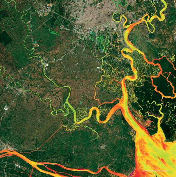
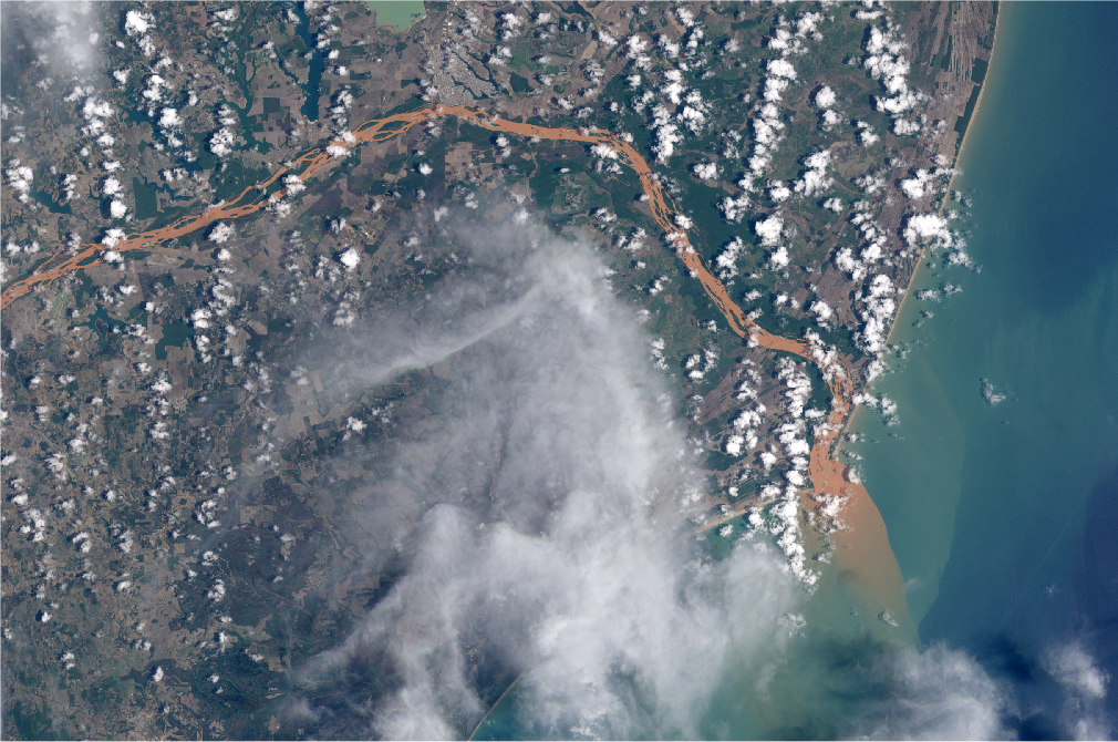
The Mekong River is a vital lifeline for millions of people in half a dozen countries. It provides one of the world’s most productive inland fisheries, and 71% of rural Laotian...
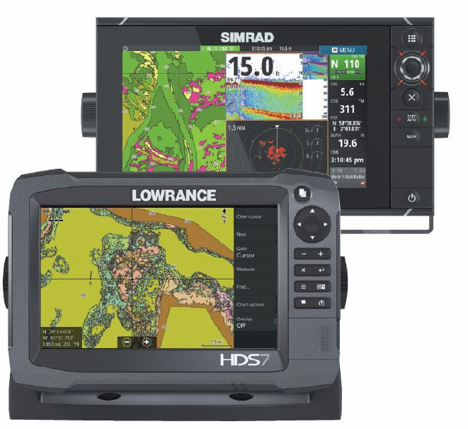
Building on the Power of the BioBase Cloud Mapping Platform, New Product Generates Full Inventories of Shallow Water Habitats C-MAP®, a leading supplier of digital navigation products to the maritime...
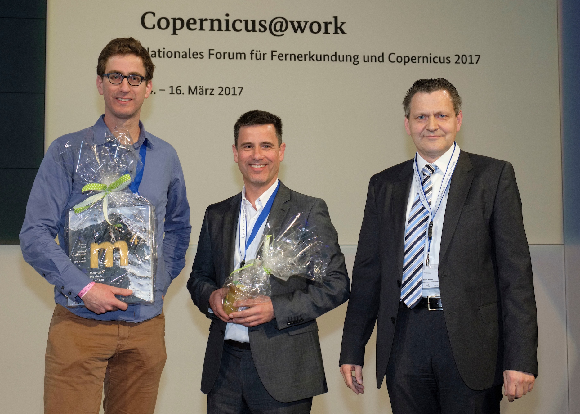
The National German Copernicus Forum "Copernicus @ work" took place in Berlin from 13 to 14 March 2017 and hosted several hundred participants from authorities and enterprises in Germany. The...
MARSAT consortium, a network of six private companies and a research institute, is ready to provide innovative integrated satellite-based services for the maritime and coastal industry to improve safety and...
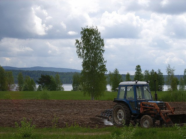
On the Hessian State Domain farm Beberbeck close to Kassel the official launch of the joint project AGRO-DE was held on Sept. 26th 2016. The project consortium, consisting of the...
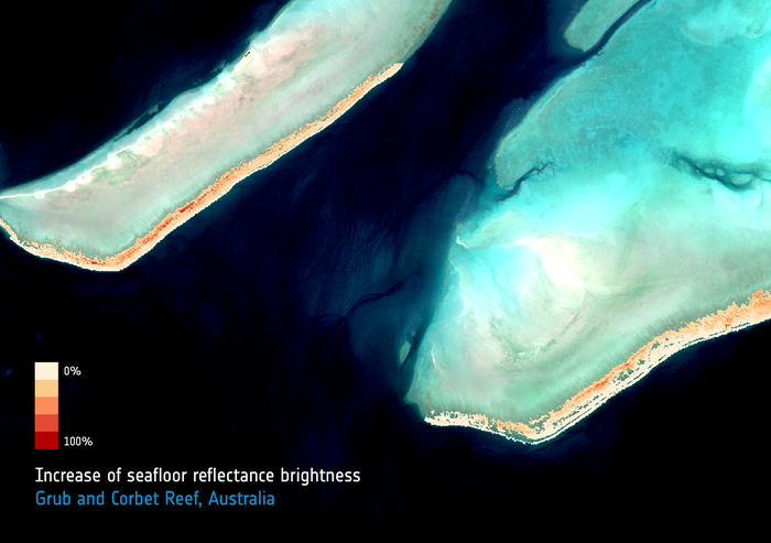
The EOMAP aquatic remote sensing company, together with partners at the Remote Sensing Research Centre of Queensland University and the Great Barrier Reef Foundation, are developing new methods to monitor...
By beginning of december 2015, ESA opened the data access for its Sentinel 2-A mission. The satellite now is continously recording and data can be accessed via ESA's Scientific Data...
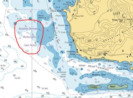
The UK Hydrographic Office (UKHO) published its first nautical chart with EOMAP's Satellite Derived Bathymetry in Oct. 2015: BA 2066 of Southern Antigua. Prior to this mapping a competitive evaluation...
EOMAP monitoring Rio Doce dam incident On November 5th 2015, two dams of an iron mining reservoir collapsed in Marina, federal state of Minas Gerais, Brazil. Subsequently, a mudslide burst out...