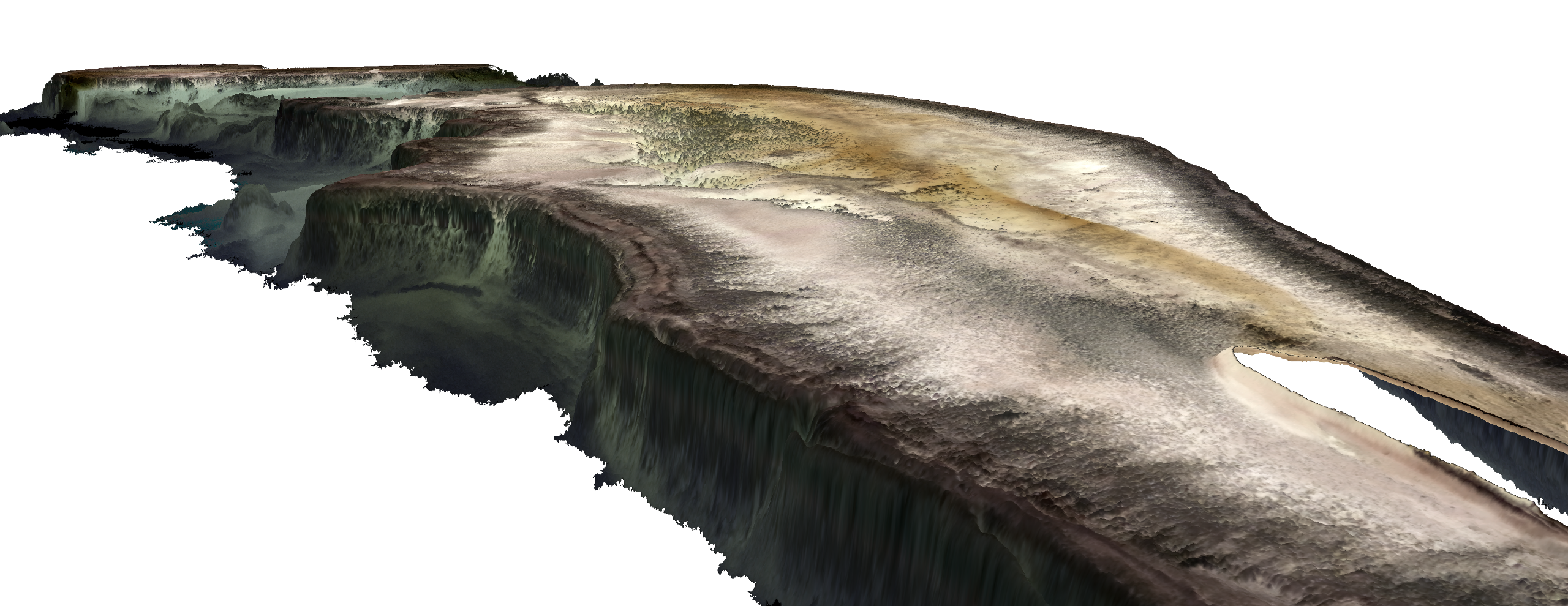
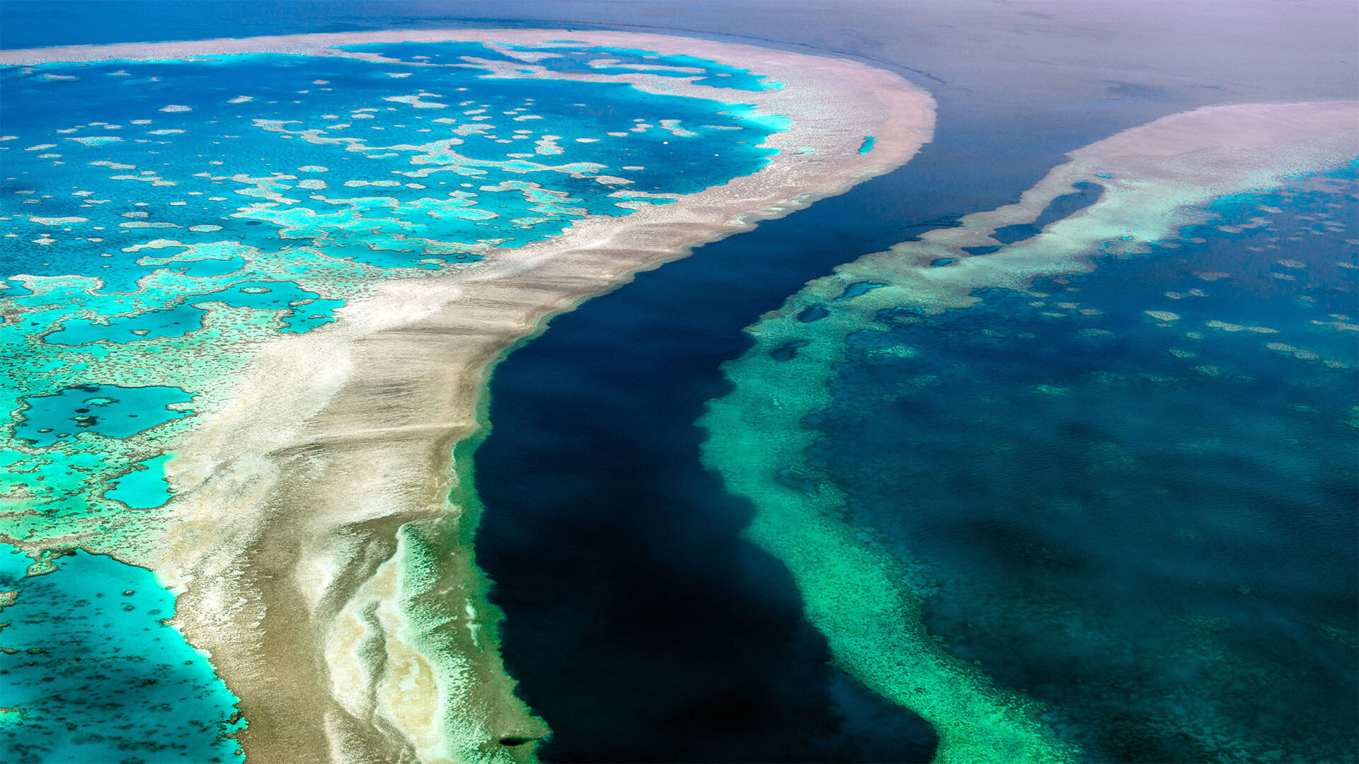
The mapping project, ‘3D live habitats for the full extent of the Great Barrier Reef’, will provide, for the first time, maps of the underwater landscape and predicted types of coral for more than 3,000 reefs within the 350,000 km2 of the Great Barrier Reef (GBR).
EOMAP’s cutting edge technology provides essential data for this revolutionary project, in which the University of Queensland (UQ), the Great Barrier Reef Marine Park Authority and the Australian Institute of Marine Science are partners. The resulting maps will be at an unprecedented 10 m horizontal grid resolution and reveal bathymetry (water depth), geomorphic zonations and bottom types, in addition to the predicted coral types.
The ambitious scope of this undertaking was made possible by recent advances in satellite mapping technologies, environmental modelling and image classification methods. Using imagery from the European Space Agency’s Sentinel-2 satellite, EOMAP applies its industry-leading, proprietary technology to retrieve Satellite-Derived Bathymetry (SDB) and sub-surface reflectance (SSR) data. The result of the SDB mapping is a 3D elevation model of the seafloor – one of the cornerstone data layers for the entire project.
Both the SDB and the SSR data are fundamental to the project. The SDB not only directly guides the geomorphology classification but is also used for environmental modelling to calculate wave energy environments across the GBR. The wave energy parameter in turn informs all reef habitat classification and predicted coral types. The SSR data provides marine ecologists with additional, important information when revealing the theoretical seafloor colour for the final habitat classification. Recent advances in machine learning and semi-automated classification then enable the researchers to efficiently and accurately process and classify all the reefs of the GBR.
Images
Quick information
The mapping project, ‘3D live habitats for the full extent of the Great Barrier Reef’, provides, for the first time, maps of the underwater landscape and predicted types of coral for more than 3,000 reefs within the 350,000 km2 of the Great Barrier Reef (GBR).
Related Use Cases
SmartCoast – Mangrove mapping in Australia
Kelp monitoring in Los Angeles ports
REMAP – a new workflow for drone mapping
COASTS – Coastal resilience and blue carbon
Blue carbon – Mangrove mapping in Madagascar
Seagrass Mapping in Italy
4S project – SDB mapping worldwide
Archipelago of Tonga
EMODnet
High-Resolution Seafloor Mapping for Environment Agency Abu Dhabi
