ABOUT THE PROJECT
EOMAP provides current high-resolution Satellite-Derived Bathymetry (SDB) for EMODnet Bathymetry, a consortium of 41 European hydrographic offices and oceanographic institutions, research centres and commercial data providers.
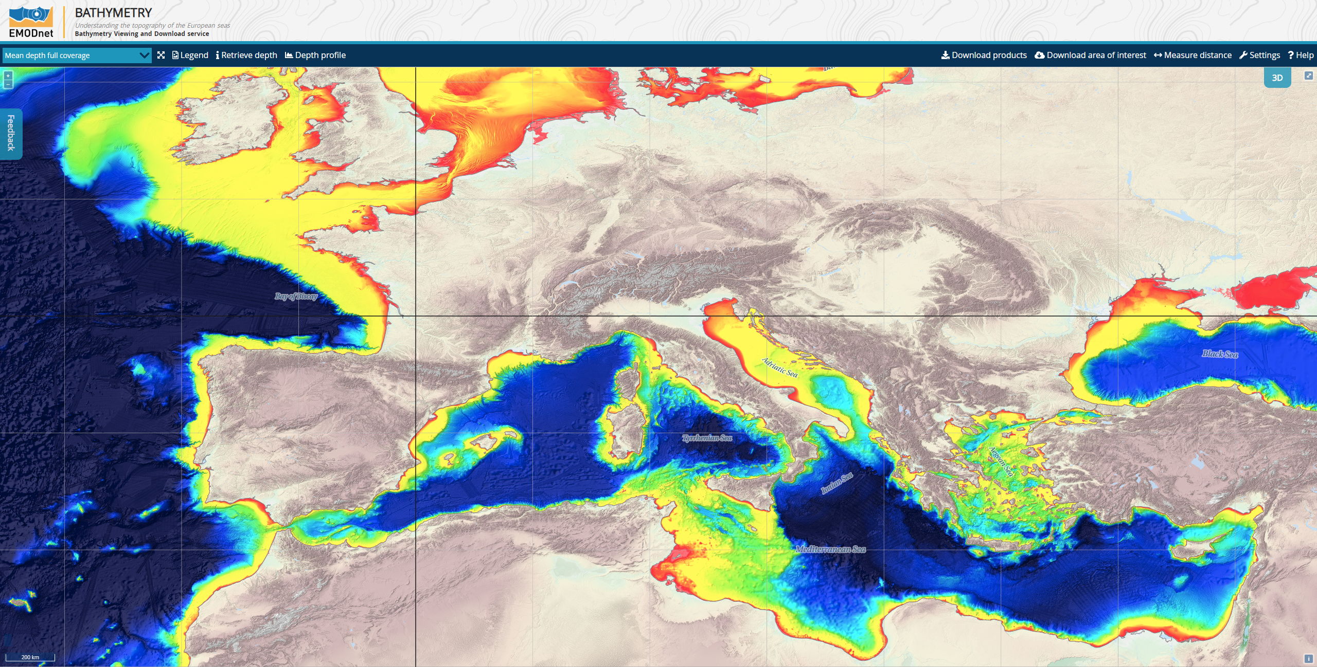
Up-to-date, high-resolution bathymetric data is increasingly important for a large number of applications, such as hydrodynamic modelling, sediment transport, cable routing, coastal planning, resource exploration and defence purposes. The EMODnet Bathymetry portal offers access to a high-resolution sampled grid of bathymetric survey data and metadata provided by the network partners. These data are being harmonised to create a seamless European bathymetric grid.
EOMAP contributes bathymetry for shallow waters that are poorly, if at all, covered by conventional survey data. Previously these areas were interpolated, with potentially high uncertainties. Now, by using satellite-derived bathymetry information, the digital terrain model is constrained by physically derived data in these areas, providing much higher detail.
EMODnet Bathymetry applies SeaDataNet standards and services for discovery and access to its bathymetric data resources. SeaDataNet is the leading infrastructure in Europe for marine and ocean data management.
MEDIA
SUMMARY
EMODnet Bathymetry
Satellite-Derived Bathymetry
Satellite-Derived Bathymetry, EMODnet, Europe, Costal Waters
LINKS